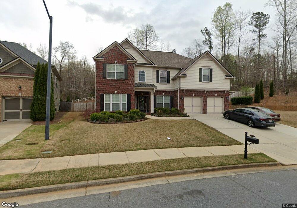
178 Shaw Dr Acworth, GA 30102
Oak Grove NeighborhoodEstimated Value: $509,000 - $544,313
5
Beds
4
Baths
3,648
Sq Ft
$144/Sq Ft
Est. Value
About This Home
This home is located at 178 Shaw Dr, Acworth, GA 30102 and is currently estimated at $526,657, approximately $144 per square foot. 178 Shaw Dr is a home located in Cherokee County with nearby schools including E. T. Booth Middle School, Etowah High School, and Cornerstone Preparatory Academy.
Ownership History
Date
Name
Owned For
Owner Type
Purchase Details
Closed on
Jun 23, 2008
Sold by
Ryland Group Inc
Bought by
Murillo Primo T and Murillo Djhoanna C
Current Estimated Value
Home Financials for this Owner
Home Financials are based on the most recent Mortgage that was taken out on this home.
Original Mortgage
$284,060
Outstanding Balance
$181,394
Interest Rate
6.04%
Mortgage Type
New Conventional
Estimated Equity
$345,263
Create a Home Valuation Report for This Property
The Home Valuation Report is an in-depth analysis detailing your home's value as well as a comparison with similar homes in the area
Home Values in the Area
Average Home Value in this Area
Purchase History
| Date | Buyer | Sale Price | Title Company |
|---|---|---|---|
| Murillo Primo T | $284,100 | -- |
Source: Public Records
Mortgage History
| Date | Status | Borrower | Loan Amount |
|---|---|---|---|
| Open | Murillo Primo T | $284,060 |
Source: Public Records
Tax History Compared to Growth
Tax History
| Year | Tax Paid | Tax Assessment Tax Assessment Total Assessment is a certain percentage of the fair market value that is determined by local assessors to be the total taxable value of land and additions on the property. | Land | Improvement |
|---|---|---|---|---|
| 2025 | $4,759 | $198,800 | $44,000 | $154,800 |
| 2024 | $4,820 | $203,520 | $44,000 | $159,520 |
| 2023 | $4,314 | $200,120 | $44,000 | $156,120 |
| 2022 | $3,953 | $160,120 | $34,000 | $126,120 |
| 2021 | $3,625 | $132,000 | $24,800 | $107,200 |
| 2020 | $3,455 | $124,520 | $24,800 | $99,720 |
| 2019 | $3,520 | $127,320 | $24,800 | $102,520 |
| 2018 | $3,273 | $116,760 | $24,800 | $91,960 |
| 2017 | $3,204 | $283,700 | $24,800 | $88,680 |
| 2016 | $3,147 | $276,000 | $24,800 | $85,600 |
| 2015 | $3,157 | $274,200 | $24,800 | $84,880 |
| 2014 | $3,117 | $270,300 | $24,800 | $83,320 |
Source: Public Records
Map
Nearby Homes
- 337 Liberty Dr
- 334 Liberty Dr
- 344 Colsen Dr
- 340 Colsen Dr
- 1981 American Way Unit 28
- 1983 American Way Unit 27
- 336 Colsen Dr
- 332 Colsen Dr
- 328 Colsen Dr
- 432 Carrera Ln
- 435 Carrera Ln
- 440 Carrera Ln
- 325 Colsen Dr
- 5706 Forest Place
- 558 Olympic Way
- Bolton Plan at Cherokee Township
- Brooks Plan at Cherokee Township
- Bryson Plan at Cherokee Township
- 2899 Emerald Ln
- 5496 E Emerald Ct
- 180 Shaw Dr
- 181 Shaw Dr
- 2625 Ramblewood Ct
- 179 Shaw Dr
- 703 Bronze Ct
- 192 Shaw Dr
- 194 Shaw Dr
- 0 Ramblewood Ct Unit 8320893
- 0 Ramblewood Ct
- 196 Shaw Dr
- 705 Bronze Ct
- 177 Shaw Dr
- 2623 Ramblewood Ct
- 198 Shaw Dr
- 700 Bronze Ct
- 200 Shaw Dr
- 707 Bronze Ct
- 175 Shaw Dr
- 2611 Ramblewood Ct
- 0 Bronze Ct Unit 8672778