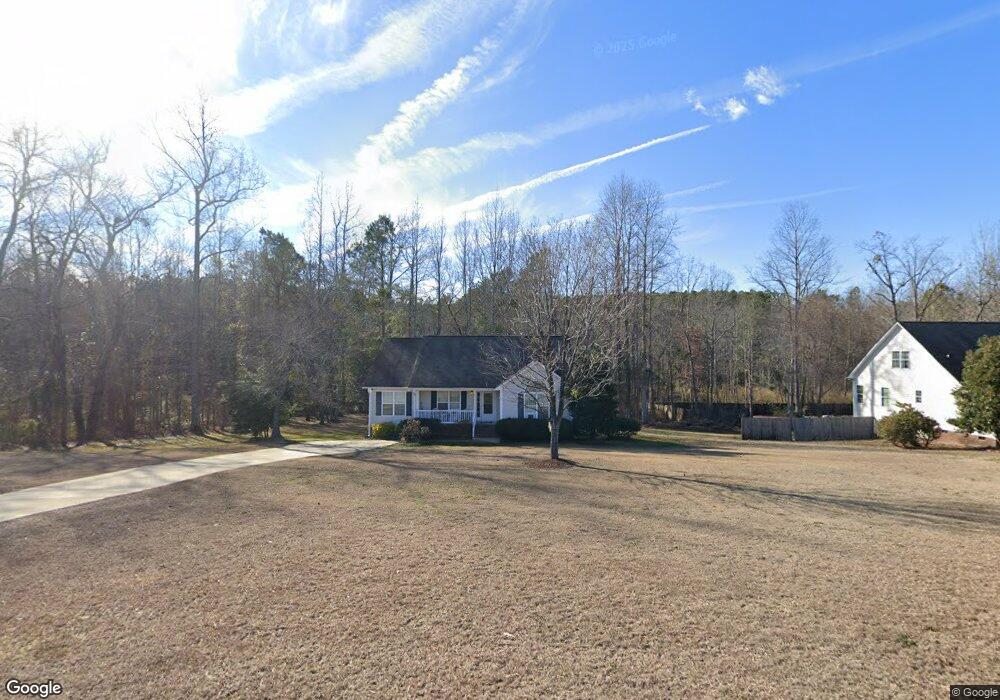
178 Sword Loop Broadway, NC 27505
Estimated Value: $230,000 - $261,000
3
Beds
2
Baths
1,362
Sq Ft
$184/Sq Ft
Est. Value
About This Home
This home is located at 178 Sword Loop, Broadway, NC 27505 and is currently estimated at $251,134, approximately $184 per square foot. 178 Sword Loop is a home located in Harnett County with nearby schools including Anderson Creek Primary School, South Harnett Elementary School, and Western Harnett Middle School.
Ownership History
Date
Name
Owned For
Owner Type
Purchase Details
Closed on
May 7, 2009
Sold by
Wynn Construction Inc
Bought by
Mcdougald Thakida L
Current Estimated Value
Home Financials for this Owner
Home Financials are based on the most recent Mortgage that was taken out on this home.
Original Mortgage
$132,600
Outstanding Balance
$83,509
Interest Rate
4.79%
Mortgage Type
Purchase Money Mortgage
Estimated Equity
$167,625
Create a Home Valuation Report for This Property
The Home Valuation Report is an in-depth analysis detailing your home's value as well as a comparison with similar homes in the area
Home Values in the Area
Average Home Value in this Area
Purchase History
| Date | Buyer | Sale Price | Title Company |
|---|---|---|---|
| Mcdougald Thakida L | $130,000 | -- |
Source: Public Records
Mortgage History
| Date | Status | Borrower | Loan Amount |
|---|---|---|---|
| Open | Mcdougald Thakida L | $132,600 |
Source: Public Records
Tax History
| Year | Tax Paid | Tax Assessment Tax Assessment Total Assessment is a certain percentage of the fair market value that is determined by local assessors to be the total taxable value of land and additions on the property. | Land | Improvement |
|---|---|---|---|---|
| 2025 | $1,342 | $176,783 | $0 | $0 |
| 2024 | $1,342 | $176,783 | $0 | $0 |
| 2023 | $1,342 | $176,783 | $0 | $0 |
| 2022 | $1,180 | $176,783 | $0 | $0 |
| 2021 | $1,180 | $127,310 | $0 | $0 |
| 2020 | $1,167 | $127,310 | $0 | $0 |
| 2019 | $1,152 | $127,310 | $0 | $0 |
| 2018 | $1,139 | $127,310 | $0 | $0 |
| 2017 | $1,139 | $127,310 | $0 | $0 |
| 2016 | $1,104 | $123,050 | $0 | $0 |
| 2015 | $1,104 | $123,050 | $0 | $0 |
| 2014 | $1,104 | $123,050 | $0 | $0 |
Source: Public Records
Map
Nearby Homes
- 0 W Nc 27 Hwy Unit 2455038
- 0 W Nc 27 Hwy Unit 100517848
- 13301 N Carolina 27 Unit 3
- 13321 N Carolina 27 Unit 2
- 13341 N Carolina 27
- 13281 N Carolina 27
- 354 Juno Dr
- 415 Juno Dr
- 267 Placid Pond Dr
- 148 Harmony Trail
- 156 Harmony Trail
- 157 Harmony Trail
- 446 Placid Pond Dr
- 77 Falls River Ct
- 73 Falls River Ct
- 486 Placid Pond Dr
- 135 Humvee Ct
- 92 Humvee Ct
- 40 Seabiscuit Ct
- 72 Fern Creek Dr
- 160 Sword Loop
- 200 Sword Loop
- 140 Sword Loop
- 169 Sword Loop
- 199 Sword Loop
- 120 Sword Loop
- 0 W Nc 27 Hwy Unit 1943864
- 0 W Nc 27 Hwy Unit 1960896
- 0 W Nc 27 Hwy Unit 6 TR1943864
- 0 W Nc 27 Hwy Unit 6 TR1960896
- 0 W Nc 27 Hwy Unit TR2317465
- 145 Sword Loop
- 125 Sword Loop
- 270 Omaha Dr
- 104 Sword Loop
- 242 Omaha Dr
- 299 Omaha (Lot 32) Dr
- 299 Omaha Dr
- 299 Omaha Dr Unit 32
- 275 Omaha Dr
Your Personal Tour Guide
Ask me questions while you tour the home.