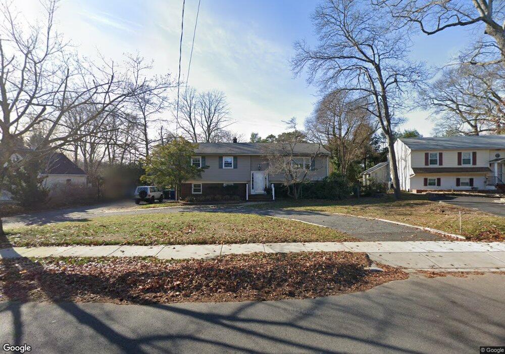
178 Whalepond Rd Oakhurst, NJ 07755
Estimated Value: $1,038,000 - $1,243,000
4
Beds
3
Baths
2,788
Sq Ft
$402/Sq Ft
Est. Value
About This Home
This home is located at 178 Whalepond Rd, Oakhurst, NJ 07755 and is currently estimated at $1,120,800, approximately $402 per square foot. 178 Whalepond Rd is a home located in Monmouth County with nearby schools including Ocean Township High School, St. Mary of the Assumption School, and Bet Yaakov of the Jersey Shore.
Ownership History
Date
Name
Owned For
Owner Type
Purchase Details
Closed on
Mar 16, 2001
Sold by
Maffia James
Bought by
Maffia James F
Current Estimated Value
Purchase Details
Closed on
Dec 29, 1987
Bought by
Zagha Issac and Zagha Wendy
Create a Home Valuation Report for This Property
The Home Valuation Report is an in-depth analysis detailing your home's value as well as a comparison with similar homes in the area
Home Values in the Area
Average Home Value in this Area
Purchase History
| Date | Buyer | Sale Price | Title Company |
|---|---|---|---|
| Maffia James F | $10,000 | -- | |
| Zagha Issac | $192,000 | -- |
Source: Public Records
Tax History Compared to Growth
Tax History
| Year | Tax Paid | Tax Assessment Tax Assessment Total Assessment is a certain percentage of the fair market value that is determined by local assessors to be the total taxable value of land and additions on the property. | Land | Improvement |
|---|---|---|---|---|
| 2025 | $11,230 | $819,400 | $562,400 | $257,000 |
| 2024 | $11,230 | $787,500 | $536,400 | $251,100 |
| 2023 | $11,367 | $743,400 | $499,300 | $244,100 |
| 2022 | $10,149 | $581,100 | $348,700 | $232,400 |
| 2021 | $10,149 | $516,500 | $320,200 | $196,300 |
| 2020 | $10,347 | $519,700 | $327,800 | $191,900 |
| 2019 | $9,161 | $449,300 | $265,100 | $184,200 |
| 2018 | $7,936 | $379,000 | $203,300 | $175,700 |
| 2017 | $7,468 | $355,100 | $189,100 | $166,000 |
| 2016 | $8,164 | $349,200 | $189,100 | $160,100 |
| 2015 | $8,188 | $354,600 | $198,600 | $156,000 |
| 2014 | $7,823 | $343,400 | $198,600 | $144,800 |
Source: Public Records
Map
Nearby Homes
- 186 Whalepond Rd
- 156 Belmar Ave
- 6 Arlington St
- 221 Harrison Ave
- 216 Chatham Ave
- 120 Whalepond Rd
- 197 Delaware Ave
- 227 Chatham Ave
- 459 Harnell Ave
- 8 Corey Dr
- 35 Shadow Lawn Dr
- 185 Pinecrest Rd
- 243 Woodcrest Rd
- 8 Ross Ct
- 185 Elmwood Rd
- 82 Larkin Place
- 421 W Lincoln Ave
- 452 W Park Ave
- 408 Deal Rd
- 406 W Park Ave
- 176 Whalepond Rd
- 176 Whalepond Rd Unit WINTER
- 180 Whalepond Rd
- 180 Whalepond Rd Unit SUMMER
- 180 Whalepond Rd Unit WINTER
- 532 Dow Ave
- 520 Garwood St
- 534 Dow Ave
- 169 Whalepond Rd
- 190 Whalepond Rd
- 183 Whalepond Rd
- 540 Dow Ave
- 162 Whalepond Rd
- 531 Dow Ave
- 185 Whalepond Rd
- 514 Garwood St
- 165 Whalepond Rd
- 533 Dow Ave
- 559 Dow Ave
- 542 Dow Ave