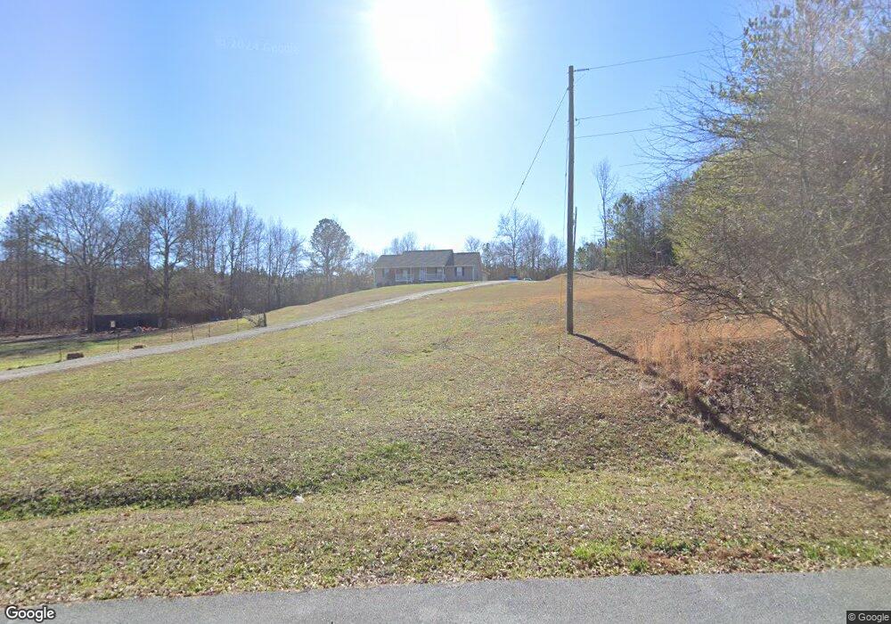
178 Wray Mine Rd Buchanan, GA 30113
Estimated Value: $324,000 - $412,000
4
Beds
2
Baths
1,769
Sq Ft
$212/Sq Ft
Est. Value
About This Home
This home is located at 178 Wray Mine Rd, Buchanan, GA 30113 and is currently estimated at $374,301, approximately $211 per square foot. 178 Wray Mine Rd is a home located in Polk County.
Ownership History
Date
Name
Owned For
Owner Type
Purchase Details
Closed on
Mar 11, 2024
Sold by
Mcmakin Taryn
Bought by
Mcmakin James A
Current Estimated Value
Purchase Details
Closed on
Mar 23, 2018
Sold by
Robinson Christopher W
Bought by
Mcmakin James A and Mcmakin Taryn
Purchase Details
Closed on
Jun 27, 2016
Sold by
Robinson Julie
Bought by
Robinson Christopher W
Purchase Details
Closed on
Nov 24, 2004
Sold by
Puckett Gary Lee
Bought by
Robinson Chris and Robinson Julie**
Purchase Details
Closed on
Jul 14, 2004
Sold by
Puckett Gary Lee
Bought by
Robinson Chris and Robinson Julie
Create a Home Valuation Report for This Property
The Home Valuation Report is an in-depth analysis detailing your home's value as well as a comparison with similar homes in the area
Home Values in the Area
Average Home Value in this Area
Purchase History
| Date | Buyer | Sale Price | Title Company |
|---|---|---|---|
| Mcmakin James A | -- | -- | |
| Mcmakin James A | $205,000 | -- | |
| Robinson Christopher W | -- | -- | |
| Robinson Chris | -- | -- | |
| Robinson Chris | -- | -- |
Source: Public Records
Tax History Compared to Growth
Tax History
| Year | Tax Paid | Tax Assessment Tax Assessment Total Assessment is a certain percentage of the fair market value that is determined by local assessors to be the total taxable value of land and additions on the property. | Land | Improvement |
|---|---|---|---|---|
| 2024 | $2,652 | $128,884 | $8,441 | $120,443 |
| 2023 | $2,183 | $91,994 | $8,441 | $83,553 |
| 2022 | $1,899 | $80,000 | $5,627 | $74,373 |
| 2021 | $1,920 | $79,862 | $5,627 | $74,235 |
| 2020 | $1,924 | $79,862 | $5,627 | $74,235 |
| 2019 | $1,964 | $73,115 | $5,627 | $67,488 |
| 2018 | $1,860 | $69,505 | $5,627 | $63,878 |
| 2017 | $1,837 | $69,505 | $5,627 | $63,878 |
| 2016 | $1,881 | $71,112 | $7,234 | $63,878 |
| 2015 | $1,901 | $71,644 | $7,234 | $64,410 |
| 2014 | $1,915 | $71,644 | $7,234 | $64,410 |
Source: Public Records
Map
Nearby Homes
- 487 Grogan Rd
- 525 Grogan Rd
- 75 Youngs Station Rd
- 0 Mckibben Rd Unit 7665027
- 0 Mckibben Rd Unit 210
- 0 Mckibben Rd Unit 10623982
- 4267 Buchanan Hwy
- 4550 Buchanan Hwy
- 1719 Tallapoosa Hwy
- 1870 Tallapoosa Hwy
- 102 acres Youngs Farm Rd
- 0 Buchanan Hwy Unit 10558945
- 0 Youngs Farm Rd Unit 24829378
- 7474 Highway 27
- 765 Addison Rd
- 45 York Cir
- 0 Culp Lake Rd Unit 25460774
- 0 Culp Lake Rd Unit 1025-H 10390344
- 0 Culp Lake Rd Unit 25460775
- 0 Culp Lake Rd Unit 1025-K 10390361
- 178 Wray Mine Rd Unit 194
- 178 Wraymine Rd
- 178 Wraymine Rd Unit 194
- 000 Wray Mine Rd
- 00 Wray Mine Rd
- 00 Wray Mine Rd
- 00 Wray Mine Rd
- Lot 3 Wray Mine Rd
- Lot 2 Wray Mine Rd
- Lot 1 Wray Mine Rd
- 678 Wray Mine Rd
- 221 Wray Mine Rd
- 195 Wray Mine Rd
- 195 Wraymine Rd
- 257 Wraymine Rd
- 257 Wray Mine Rd
- 251 Wray Mine Rd
- 488 Wray Mine Rd
- 320 Wray Rd
- 264 Wraymine Rd