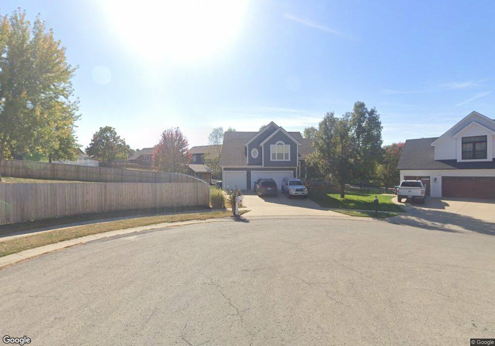
1780 Bridget Place Liberty, MO 64068
Estimated Value: $333,000 - $385,000
3
Beds
3
Baths
1,274
Sq Ft
$279/Sq Ft
Est. Value
About This Home
This home is located at 1780 Bridget Place, Liberty, MO 64068 and is currently estimated at $354,908, approximately $278 per square foot. 1780 Bridget Place is a home located in Clay County with nearby schools including Manor Hill Elementary School, Liberty Middle School, and Liberty High School.
Ownership History
Date
Name
Owned For
Owner Type
Purchase Details
Closed on
Sep 25, 2002
Sold by
Liberty Homes Inc
Bought by
Butts Daniel and Butts Lori
Current Estimated Value
Home Financials for this Owner
Home Financials are based on the most recent Mortgage that was taken out on this home.
Original Mortgage
$139,920
Outstanding Balance
$58,875
Interest Rate
6.21%
Estimated Equity
$296,033
Purchase Details
Closed on
Apr 30, 2002
Sold by
L L M B Inc
Bought by
Liberty Homes Inc
Home Financials for this Owner
Home Financials are based on the most recent Mortgage that was taken out on this home.
Original Mortgage
$149,600
Interest Rate
7.1%
Create a Home Valuation Report for This Property
The Home Valuation Report is an in-depth analysis detailing your home's value as well as a comparison with similar homes in the area
Home Values in the Area
Average Home Value in this Area
Purchase History
| Date | Buyer | Sale Price | Title Company |
|---|---|---|---|
| Butts Daniel | -- | Thomson Title Corp | |
| Liberty Homes Inc | -- | Thomson Title Corp |
Source: Public Records
Mortgage History
| Date | Status | Borrower | Loan Amount |
|---|---|---|---|
| Open | Butts Daniel | $139,920 | |
| Previous Owner | Liberty Homes Inc | $149,600 |
Source: Public Records
Tax History Compared to Growth
Tax History
| Year | Tax Paid | Tax Assessment Tax Assessment Total Assessment is a certain percentage of the fair market value that is determined by local assessors to be the total taxable value of land and additions on the property. | Land | Improvement |
|---|---|---|---|---|
| 2025 | $3,303 | $49,340 | -- | -- |
| 2024 | $3,303 | $42,940 | -- | -- |
| 2023 | $3,359 | $42,940 | $0 | $0 |
| 2022 | $3,094 | $39,060 | $0 | $0 |
| 2021 | $3,070 | $39,064 | $7,220 | $31,844 |
| 2020 | $3,078 | $36,770 | $0 | $0 |
| 2019 | $2,947 | $35,207 | $7,220 | $27,987 |
| 2018 | $2,713 | $31,830 | $0 | $0 |
| 2017 | $2,592 | $31,820 | $5,320 | $26,500 |
| 2016 | $2,592 | $30,700 | $5,320 | $25,380 |
| 2015 | $2,593 | $30,700 | $5,320 | $25,380 |
| 2014 | $2,505 | $29,430 | $5,320 | $24,110 |
Source: Public Records
Map
Nearby Homes
- 753 Todd Ct
- 1588 Columbine Ct
- 1505 Glen Brook Ln
- 1904 Shirley Ct
- 507 Lauren St
- McKinley Plan at Homestead of Liberty - Homestead
- Monroe Plan at Homestead of Liberty - Homestead
- Chestnut Plan at Homestead of Liberty - Homestead
- The Brooklyn Plan at Homestead of Liberty - Homestead
- Cypress Plan at Homestead of Liberty - Homestead
- The Linden Plan at Homestead of Liberty - Homestead
- Spruce Plan at Homestead of Liberty - Homestead
- Ashton Plan at Homestead of Liberty - Homestead
- Meg Plan at Homestead of Liberty - Homestead
- The Hillsdale Plan at Homestead of Liberty - Homestead
- The Maple Plan at Homestead of Liberty - Homestead
- Redbud Plan at Homestead of Liberty - Homestead
- Hawthorn II Plan at Homestead of Liberty - Homestead
- The Sycamore Plan at Homestead of Liberty - Homestead
- 465 Lilly Ln
- 716 Holt Dr
- 1779 Bridget Place
- 715 Joseph St
- 719 Joseph St
- 712 Holt Dr
- 1775 Bridget Place
- 711 Joseph St
- 742 Ted Ct
- 1803 White Tail Ln
- 708 Holt Dr
- 1771 Bridget Place
- 746 Ted Ct
- 707 Joseph St
- 1767 Bridget Place
- 704 Holt Dr
- 1807 White Tail Ln
- 1802 White Tail Ln
- 710 Joseph St
- 706 Joseph St
- 714 Joseph St