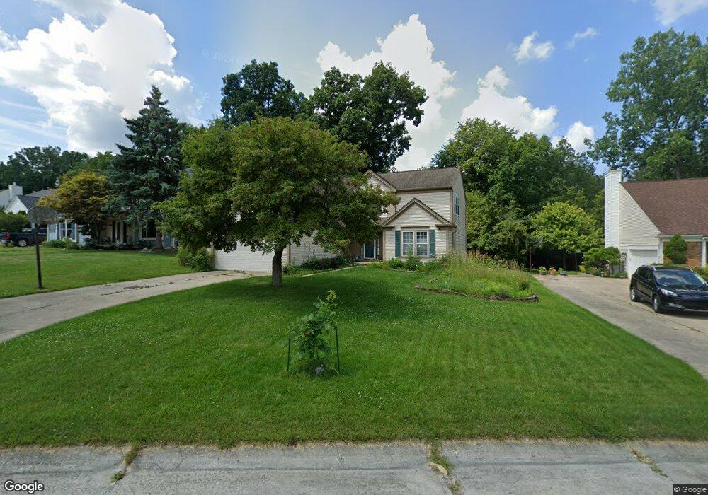
1780 Dawncrest Dr West Bloomfield, MI 48324
Estimated Value: $467,697 - $486,000
3
Beds
3
Baths
2,392
Sq Ft
$199/Sq Ft
Est. Value
About This Home
This home is located at 1780 Dawncrest Dr, West Bloomfield, MI 48324 and is currently estimated at $475,924, approximately $198 per square foot. 1780 Dawncrest Dr is a home located in Oakland County with nearby schools including Waterford Montessori Academy, Our Lady Of Refuge School, and Lakecrest Baptist School.
Ownership History
Date
Name
Owned For
Owner Type
Purchase Details
Closed on
Sep 10, 2004
Sold by
Grant Donald R and Grant Vicki L
Bought by
Adams Robert J and Adams Deborah A
Current Estimated Value
Purchase Details
Closed on
Apr 28, 2000
Sold by
Bond Martin J
Bought by
Grant Donald R
Home Financials for this Owner
Home Financials are based on the most recent Mortgage that was taken out on this home.
Original Mortgage
$149,900
Interest Rate
8.21%
Create a Home Valuation Report for This Property
The Home Valuation Report is an in-depth analysis detailing your home's value as well as a comparison with similar homes in the area
Home Values in the Area
Average Home Value in this Area
Purchase History
| Date | Buyer | Sale Price | Title Company |
|---|---|---|---|
| Adams Robert J | $299,900 | Capital Title Ins Agency | |
| Grant Donald R | $279,900 | -- |
Source: Public Records
Mortgage History
| Date | Status | Borrower | Loan Amount |
|---|---|---|---|
| Previous Owner | Grant Donald R | $149,900 |
Source: Public Records
Tax History Compared to Growth
Tax History
| Year | Tax Paid | Tax Assessment Tax Assessment Total Assessment is a certain percentage of the fair market value that is determined by local assessors to be the total taxable value of land and additions on the property. | Land | Improvement |
|---|---|---|---|---|
| 2024 | $2,902 | $205,830 | $0 | $0 |
| 2022 | $2,779 | $172,100 | $28,750 | $143,350 |
| 2021 | $4,225 | $149,360 | $0 | $0 |
| 2020 | $2,723 | $143,580 | $28,750 | $114,830 |
| 2018 | $4,072 | $134,710 | $25,980 | $108,730 |
| 2015 | -- | $112,020 | $0 | $0 |
| 2014 | -- | $100,940 | $0 | $0 |
| 2011 | -- | $97,150 | $0 | $0 |
Source: Public Records
Map
Nearby Homes
- 1753 Dawncrest Dr
- 1844 Poppleton Dr
- 1859 Poppleton Dr
- 2110 Peachtree Ct
- 2140 Timberridge Ct
- 5145 Greer Rd
- 5699 Applegrove Dr
- 5149 Latimer St
- 2112 Keylon Dr
- 2115 Aldwin Dr
- 1985 Christopher Ct
- 0000 Hiller Rd
- 00000 Muskingum
- 1522 Oregon Ct
- 2501 Doleman Dr
- Lot 94 Hiller Rd
- 1265 Oregon Blvd
- 1811 Henbert Rd
- 6034 Beachwood Dr
- 1247 Windsong Dr
- 1808 Poppleton Dr
- 1766 Dawncrest Dr
- 1814 Poppleton Dr
- 1752 Dawncrest Dr
- 1775 Dawncrest Dr
- 1809 Poppleton Dr
- 1820 Poppleton Dr
- 1738 Dawncrest Dr
- 1797 Poppleton Dr Unit Bldg-Unit
- 1797 Poppleton Dr
- 1817 Poppleton Dr
- 1739 Dawncrest Dr
- 1790 Poppleton Dr
- 1724 Dawncrest Dr
- 1825 Poppleton Dr
- 1785 Poppleton Dr
- 1725 Dawncrest Dr
- 5490 Nardo Ct
- 1832 Poppleton Dr
- 1919 Elsie Dr