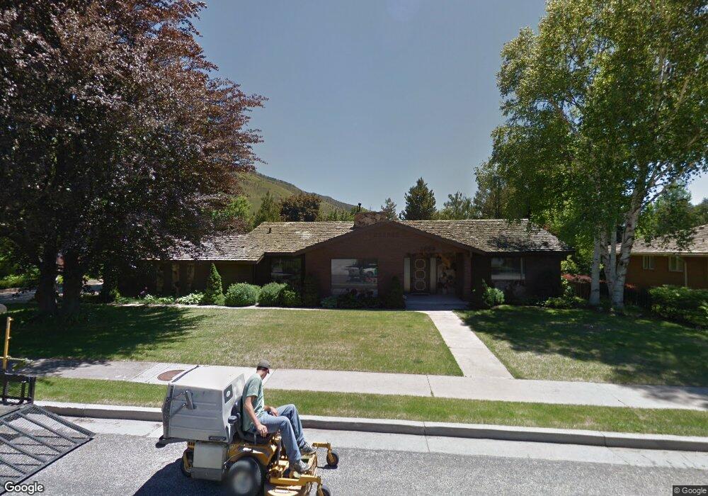
1780 E 1030 N Logan, UT 84341
Hillcrest NeighborhoodEstimated Value: $558,000 - $653,678
4
Beds
4
Baths
4,284
Sq Ft
$144/Sq Ft
Est. Value
About This Home
This home is located at 1780 E 1030 N, Logan, UT 84341 and is currently estimated at $618,170, approximately $144 per square foot. 1780 E 1030 N is a home located in Cache County with nearby schools including Hillcrest Elementary School, Mount Logan Middle School, and Logan High School.
Ownership History
Date
Name
Owned For
Owner Type
Purchase Details
Closed on
Dec 15, 2022
Sold by
Amundsen Erin Cheri
Bought by
Erin Cheri Amundsen Revocable Living Trust
Current Estimated Value
Purchase Details
Closed on
Sep 2, 2014
Sold by
Middleman Rachel S and Aaronson Adam D
Bought by
Amundsen John Richard and Amundsen Erin Cheri
Home Financials for this Owner
Home Financials are based on the most recent Mortgage that was taken out on this home.
Original Mortgage
$275,000
Interest Rate
4.1%
Mortgage Type
VA
Purchase Details
Closed on
May 12, 2011
Sold by
Bishop A Bruce
Bought by
Middleman Rachel S and Aaronson Adam D
Home Financials for this Owner
Home Financials are based on the most recent Mortgage that was taken out on this home.
Original Mortgage
$216,000
Interest Rate
3.75%
Mortgage Type
New Conventional
Create a Home Valuation Report for This Property
The Home Valuation Report is an in-depth analysis detailing your home's value as well as a comparison with similar homes in the area
Home Values in the Area
Average Home Value in this Area
Purchase History
| Date | Buyer | Sale Price | Title Company |
|---|---|---|---|
| Erin Cheri Amundsen Revocable Living Trust | -- | -- | |
| Amundsen John Richard | -- | Cache Title | |
| Middleman Rachel S | -- | Cache Title Company |
Source: Public Records
Mortgage History
| Date | Status | Borrower | Loan Amount |
|---|---|---|---|
| Previous Owner | Amundsen John Richard | $275,000 | |
| Previous Owner | Middleman Rachel S | $216,000 |
Source: Public Records
Tax History
| Year | Tax Paid | Tax Assessment Tax Assessment Total Assessment is a certain percentage of the fair market value that is determined by local assessors to be the total taxable value of land and additions on the property. | Land | Improvement |
|---|---|---|---|---|
| 2025 | $2,675 | $345,925 | $0 | $0 |
| 2024 | $2,762 | $345,925 | $0 | $0 |
| 2023 | $2,883 | $344,275 | $0 | $0 |
| 2022 | $2,718 | $303,025 | $0 | $0 |
| 2021 | $256 | $441,120 | $75,000 | $366,120 |
| 2020 | $2,452 | $380,100 | $75,000 | $305,100 |
| 2019 | $2,460 | $364,959 | $75,000 | $289,959 |
| 2018 | $2,368 | $320,728 | $75,000 | $245,728 |
| 2017 | $2,108 | $150,920 | $0 | $0 |
| 2016 | $2,185 | $150,920 | $0 | $0 |
| 2015 | $2,188 | $150,920 | $0 | $0 |
| 2014 | $1,685 | $128,570 | $0 | $0 |
| 2013 | -- | $128,570 | $0 | $0 |
Source: Public Records
Map
Nearby Homes
- 1782 E 1250 N
- 1133 N 1520 E
- 1512 E 1260 N
- 825 N 1400 E
- 1405 N Aspen Dr
- 1535 E 1385 N
- 1440 N 1600 E
- 1451 N Aspen Dr
- 866 Hillcrest Ave
- 1357 E 1220 N
- 1374 Maple Dr
- 1475 N Aspen Dr Unit 16
- 1450 N 1525 E
- 1902 E 1500 N
- 1454 N 1400 E
- 1586 N Sharptail Cir
- 1535 Sumac Dr
- 1354 N 1250 E Unit 46
- 1336 E Talmage Ln Unit 38
- 1341 N 1250 E Unit 41
- 2770 Sunset Dr
- 2739 Sunset Dr
- 2747 Sunset Dr
- 2755 Sunset Dr
- 1762 E 1030 N
- 1802 E 1030 N
- 1769 Country Club Dr
- 1783 Country Club Dr
- 1777 E 1030 N
- 1755 Country Club Dr
- 1795 Country Club Dr
- 1041 N 1800 E
- 1759 E 1030 N
- 1740 E 1030 N
- 1036 N 1800 E
- 1741 Country Club Dr
- 1042 N 1730 E
- 1790 Country Club Dr
- 1774 Country Club Dr
- 1805 Country Club Dr
Your Personal Tour Guide
Ask me questions while you tour the home.