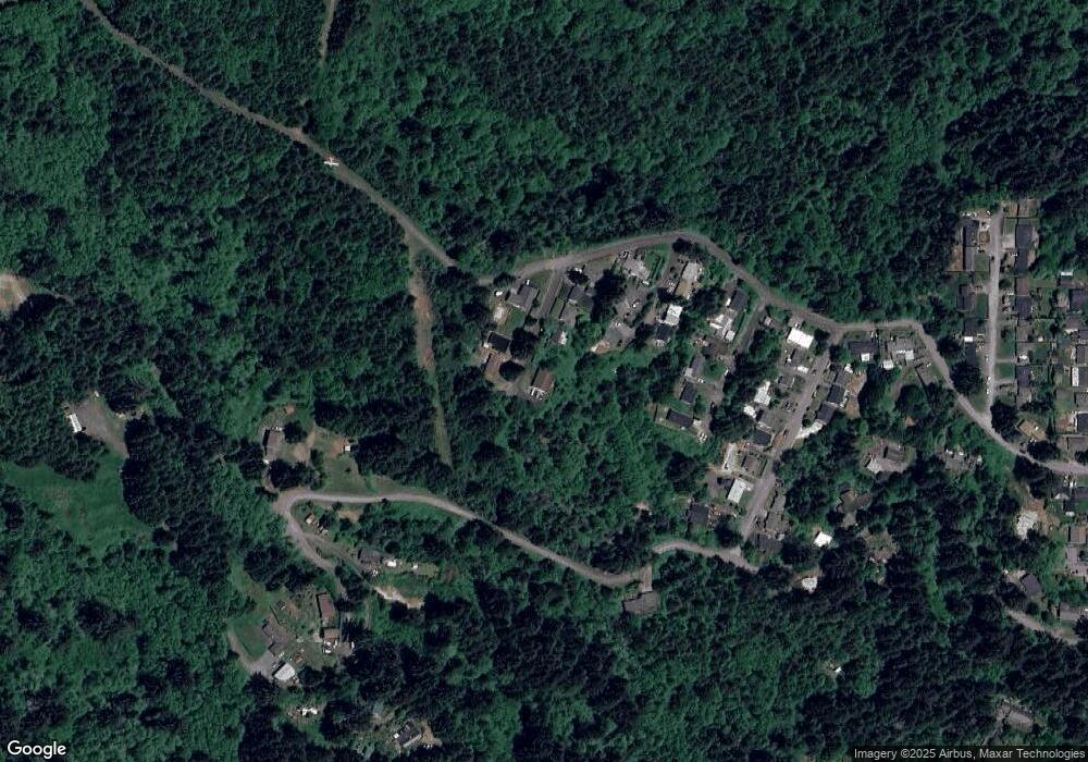
1780 S 22nd St Coos Bay, OR 97420
Estimated Value: $426,462 - $466,000
4
Beds
2
Baths
1,824
Sq Ft
$245/Sq Ft
Est. Value
About This Home
This home is located at 1780 S 22nd St, Coos Bay, OR 97420 and is currently estimated at $446,231, approximately $244 per square foot. 1780 S 22nd St is a home with nearby schools including Eastside School, Millicoma School, and Marshfield Senior High School.
Ownership History
Date
Name
Owned For
Owner Type
Purchase Details
Closed on
Oct 28, 2020
Sold by
Morin Christopher R and Morin Lindsay
Bought by
Hunt Benjamin B and Hunt Mandi L
Current Estimated Value
Purchase Details
Closed on
Nov 9, 2017
Sold by
Butts Daniel C and Butts Faith M
Bought by
Morin Christopher R and Morin Lindsay
Home Financials for this Owner
Home Financials are based on the most recent Mortgage that was taken out on this home.
Original Mortgage
$168,750
Interest Rate
3.83%
Mortgage Type
New Conventional
Create a Home Valuation Report for This Property
The Home Valuation Report is an in-depth analysis detailing your home's value as well as a comparison with similar homes in the area
Home Values in the Area
Average Home Value in this Area
Purchase History
| Date | Buyer | Sale Price | Title Company |
|---|---|---|---|
| Hunt Benjamin B | $285,000 | Ticor Title | |
| Morin Christopher R | $225,000 | Ticor Title Company Of Or |
Source: Public Records
Mortgage History
| Date | Status | Borrower | Loan Amount |
|---|---|---|---|
| Previous Owner | Morin Christopher R | $168,750 |
Source: Public Records
Tax History Compared to Growth
Tax History
| Year | Tax Paid | Tax Assessment Tax Assessment Total Assessment is a certain percentage of the fair market value that is determined by local assessors to be the total taxable value of land and additions on the property. | Land | Improvement |
|---|---|---|---|---|
| 2024 | $3,491 | $200,850 | -- | -- |
| 2023 | $3,385 | $195,000 | $0 | $0 |
| 2022 | $3,330 | $189,330 | $0 | $0 |
| 2021 | $3,244 | $183,820 | $0 | $0 |
| 2020 | $3,152 | $183,820 | $0 | $0 |
| 2019 | $3,027 | $173,280 | $0 | $0 |
| 2018 | $2,922 | $168,240 | $0 | $0 |
| 2017 | $2,590 | $163,340 | $0 | $0 |
| 2016 | $2,473 | $158,590 | $0 | $0 |
| 2015 | $2,304 | $153,980 | $0 | $0 |
| 2014 | $2,304 | $149,500 | $0 | $0 |
Source: Public Records
Map
Nearby Homes
- 0 Idaho Dr Unit 300 21226511
- 1923 Idaho Dr
- 0 California Ave
- 0 Pennsylvania Ave Unit 23250131
- 2250 S 17th St
- 1194 Oregon Ave
- 1169 Washington Ave
- 0 Minnesota
- 1351 Dakota St
- 1348 Dakota Ave
- 1138 Oregon Ave
- 1123 Oregon Ave
- 92631 Rainier Ln
- 1395 Ingersoll St
- 1300 Ingersoll St
- 92688 Libby Ln
- 1320 Ingersoll St
- 766 Southwest Blvd
- 0 Graham St Unit 546213972
- 000 Trail Ln Unit 1402
- 1770 S 22nd St
- 1760 S 22nd St
- 1755 S 22nd St
- 1765 S 22nd St
- 1750 S 22nd St
- 1745 S 21st St
- 1742 S 22nd St
- 1739 S 21st St
- 2175 California Ave
- 2110 S 21st St
- 1740 S 21st St
- 1757 S 20th St
- 1730 S 21st St
- 1753 S 20th St
- 1743 S 20th St
- 1720 S 21st St
- 1739 S 20th St
- 1710 S 21st St
- 1731 S 20th St
- 1060 California St
