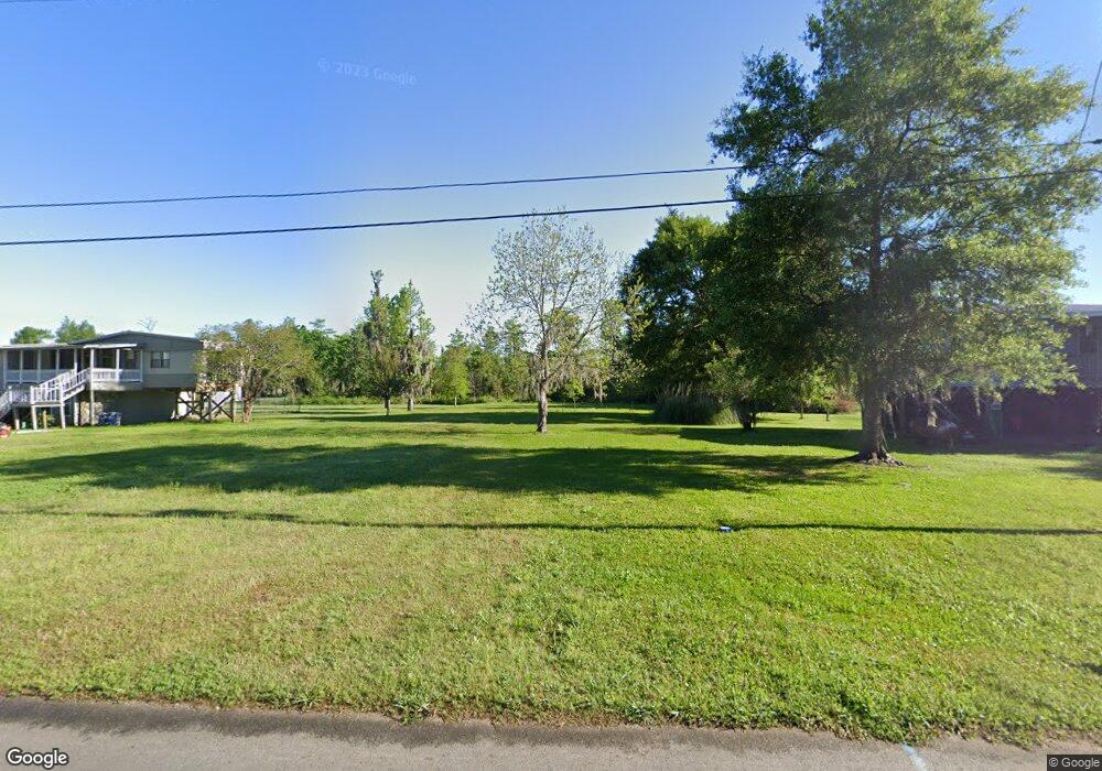
1780 S Perkins Ferry Rd Moss Bluff, LA 70611
Moss Bluff NeighborhoodEstimated Value: $200,854
--
Bed
--
Bath
26,667
Sq Ft
$8/Sq Ft
Est. Value
About This Home
This home is located at 1780 S Perkins Ferry Rd, Moss Bluff, LA 70611 and is currently estimated at $200,854, approximately $7 per square foot. 1780 S Perkins Ferry Rd is a home located in Calcasieu Parish with nearby schools including Moss Bluff Elementary School, Moss Bluff Middle School, and Sam Houston High School.
Ownership History
Date
Name
Owned For
Owner Type
Purchase Details
Closed on
Dec 27, 2018
Sold by
Orsot Rico Louis and Orsot Stacie Cathleen
Bought by
Criglow Cody Roy
Current Estimated Value
Home Financials for this Owner
Home Financials are based on the most recent Mortgage that was taken out on this home.
Original Mortgage
$144,000
Outstanding Balance
$127,114
Interest Rate
4.8%
Mortgage Type
New Conventional
Estimated Equity
$73,740
Purchase Details
Closed on
Dec 5, 2011
Sold by
Davis John William
Bought by
Orsot Rico Luis and Orsot Stacie Cathleen
Create a Home Valuation Report for This Property
The Home Valuation Report is an in-depth analysis detailing your home's value as well as a comparison with similar homes in the area
Home Values in the Area
Average Home Value in this Area
Purchase History
| Date | Buyer | Sale Price | Title Company |
|---|---|---|---|
| Criglow Cody Roy | $169,500 | None Available | |
| Orsot Rico Luis | $98,000 | None Available |
Source: Public Records
Mortgage History
| Date | Status | Borrower | Loan Amount |
|---|---|---|---|
| Open | Criglow Cody Roy | $144,000 |
Source: Public Records
Tax History Compared to Growth
Tax History
| Year | Tax Paid | Tax Assessment Tax Assessment Total Assessment is a certain percentage of the fair market value that is determined by local assessors to be the total taxable value of land and additions on the property. | Land | Improvement |
|---|---|---|---|---|
| 2024 | $697 | $6,480 | $6,480 | $0 |
| 2023 | $697 | $6,480 | $6,480 | $0 |
| 2022 | $685 | $6,480 | $6,480 | $0 |
| 2021 | $719 | $6,480 | $6,480 | $0 |
| 2020 | $677 | $6,220 | $6,220 | $0 |
| 2019 | $656 | $6,000 | $6,000 | $0 |
| 2018 | $657 | $6,000 | $6,000 | $0 |
| 2017 | $666 | $6,000 | $6,000 | $0 |
| 2016 | $670 | $6,000 | $6,000 | $0 |
| 2015 | $670 | $6,000 | $6,000 | $0 |
Source: Public Records
Map
Nearby Homes
- 1258 S Perkins Ferry Rd
- 0 Niel Rd Unit SWL23002840
- 1545 S Perkins Ferry Rd
- 1567 S Perkins Ferry Rd
- 1131 Baker Rd
- 700 S Perkins Ferry Rd
- 2725 Smith Ferry Rd
- 369 Ann Terrace Ave
- 0 Charlotte Ave Unit SWL25001918
- 0 Fletcher Rd
- 141 Cureton Rd
- 570 Ann Terrace Ave
- 3124 Davis Rd
- 0 Davis Rd
- 3425 Davis Rd
- 0 Jones Rd
- 0 Sam Houston Jones Pkwy Unit SWL22006961
- 0 Sam Houston Jones Pkwy Unit 145953
- 202 Phillips Rd
- 0 W Wayside Dr Unit SWL25001592
- 0 S Perkins Ferry Rd Unit 51539
- 0 S Perkins Ferry Rd Unit SWL21010272
- 0 S Perkins Ferry Rd Unit 123153
- 0 S Perkins Ferry Rd Unit 170230
- TBD S Perkins Ferry Rd
- 0 S Perkins Ferry Rd
- 1200 S Perkins Ferry Rd
- 1172 S Perkins Ferry Rd
- 1222 S Perkins Ferry Rd
- 1160 S Perkins Ferry Rd
- 1186 S Perkins Ferry Rd
- 1236 S Perkins Ferry Rd
- 1130 S Perkins Ferry Rd
- 1140 S Perkins Ferry Rd
- 1246 S Perkins Ferry Rd
- 827 Neil Rd
- 825 Neil Rd
- 1120 S Perkins Ferry Rd
- 1112 S Perkins Ferry Rd
- 1242 S Perkins Ferry Rd