17802 Ga Highway 129 N Claxton, GA 30417
Estimated Value: $213,253 - $307,000
3
Beds
2
Baths
2,404
Sq Ft
$104/Sq Ft
Est. Value
About This Home
This home is located at 17802 Ga Highway 129 N, Claxton, GA 30417 and is currently estimated at $251,063, approximately $104 per square foot. 17802 Ga Highway 129 N is a home located in Evans County with nearby schools including Claxton Elementary School, Second Chance, and Claxton Middle School.
Ownership History
Date
Name
Owned For
Owner Type
Purchase Details
Closed on
Aug 17, 2020
Sold by
Deloach Cris A
Bought by
Deloach Kile E and Deloach Cannon
Current Estimated Value
Purchase Details
Closed on
Aug 26, 2005
Sold by
Deloach Cal Isham
Bought by
Deloach Cris A
Home Financials for this Owner
Home Financials are based on the most recent Mortgage that was taken out on this home.
Original Mortgage
$72,329
Interest Rate
5.71%
Purchase Details
Closed on
Jan 9, 2002
Sold by
Deloach Deloach W and Deloach Et
Bought by
Deloach Cal Isham
Create a Home Valuation Report for This Property
The Home Valuation Report is an in-depth analysis detailing your home's value as well as a comparison with similar homes in the area
Home Values in the Area
Average Home Value in this Area
Purchase History
| Date | Buyer | Sale Price | Title Company |
|---|---|---|---|
| Deloach Kile E | -- | -- | |
| Deloach Cris A | $62,243 | -- | |
| Deloach Cal Isham | $75,000 | -- |
Source: Public Records
Mortgage History
| Date | Status | Borrower | Loan Amount |
|---|---|---|---|
| Previous Owner | Deloach Cris A | $72,329 |
Source: Public Records
Tax History Compared to Growth
Tax History
| Year | Tax Paid | Tax Assessment Tax Assessment Total Assessment is a certain percentage of the fair market value that is determined by local assessors to be the total taxable value of land and additions on the property. | Land | Improvement |
|---|---|---|---|---|
| 2024 | $1,686 | $66,092 | $3,320 | $62,772 |
| 2023 | $1,238 | $45,060 | $5,880 | $39,180 |
| 2022 | $1,157 | $45,060 | $5,880 | $39,180 |
| 2021 | $1,410 | $45,060 | $5,880 | $39,180 |
| 2020 | $1,411 | $45,060 | $5,880 | $39,180 |
| 2019 | $1,400 | $45,060 | $5,880 | $39,180 |
| 2018 | $1,383 | $44,420 | $5,880 | $38,540 |
| 2017 | $1,347 | $45,060 | $5,880 | $39,180 |
| 2016 | $1,285 | $41,652 | $3,240 | $38,412 |
| 2015 | -- | $42,832 | $3,240 | $39,592 |
| 2014 | -- | $42,832 | $3,240 | $39,592 |
| 2013 | -- | $43,456 | $3,240 | $40,216 |
Source: Public Records
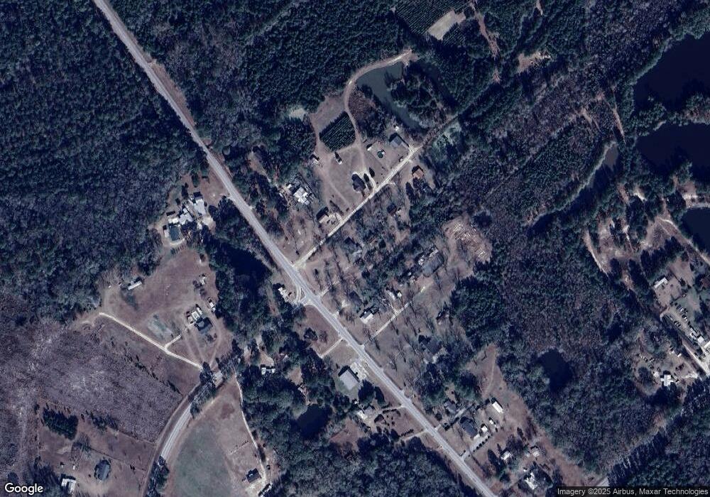
Map
Nearby Homes
- 352 Riverside Dr
- 1200 Riverside Dr
- 101 Ridge Dr
- 1302 Jim Sapp Rd
- 628 Riverside Dr
- 15683 Ga Highway 129 N
- LOT 7 Tupelo Dr
- 1377 Hillside Dr
- 147 Creek Ridge Rd
- 179 Creek Ridge Rd
- 0 Dr
- 17939 Ga Hwy 169 Hwy
- 0 Hendrix Bridge Rd
- 0 Tillman Eason Rd
- 0 Dublin Rd
- 308 Old Metter Rd
- 0 Turnpike Rd Unit SA339603
- 19 Collins St
- 19410 Georgia 169
- 92 Graham Ln
- 17864 Ga Highway 129 N
- 17750 Ga Highway 129 N
- 104 Mcneely Ln
- 101 Mcneely Ln
- 29 Tennis Ct
- 17910 Ga Highway 129 N
- 17757 Ga Highway 129 N
- 17827 Ga Highway 129 N
- 131 Mcneely Ln
- 17986 Ga Highway 129 N
- 17638 Ga Highway 129 N
- 17638 Ga Highway 129 N
- 17638 Ga Highway 129 N
- 17679 Highway 129
- 486 Ga Highway 169 Spur Unit 472
- 17719 Ga Highway 129 N
- 132 Mcneely Ln
- 17596 Highway 129
- 17729 Ga Highway 129 N
- 17596 Ga Highway 129 N