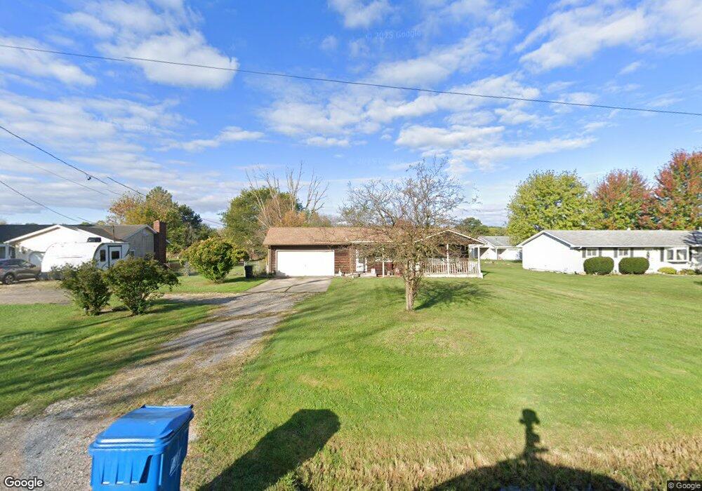
17802 State Route 301 Lagrange, OH 44050
Estimated Value: $171,000 - $235,000
3
Beds
2
Baths
1,184
Sq Ft
$177/Sq Ft
Est. Value
About This Home
This home is located at 17802 State Route 301, Lagrange, OH 44050 and is currently estimated at $210,124, approximately $177 per square foot. 17802 State Route 301 is a home located in Lorain County with nearby schools including Keystone Elementary School, Keystone Middle School, and Keystone High School.
Ownership History
Date
Name
Owned For
Owner Type
Purchase Details
Closed on
Apr 9, 1999
Sold by
Whitfield Jeffrey R and Hill Christy A
Bought by
Hebebrand David M and Hebebrand Rachel M
Current Estimated Value
Home Financials for this Owner
Home Financials are based on the most recent Mortgage that was taken out on this home.
Original Mortgage
$101,200
Interest Rate
7.05%
Mortgage Type
Balloon
Create a Home Valuation Report for This Property
The Home Valuation Report is an in-depth analysis detailing your home's value as well as a comparison with similar homes in the area
Home Values in the Area
Average Home Value in this Area
Purchase History
| Date | Buyer | Sale Price | Title Company |
|---|---|---|---|
| Hebebrand David M | $126,500 | Midland Title |
Source: Public Records
Mortgage History
| Date | Status | Borrower | Loan Amount |
|---|---|---|---|
| Closed | Hebebrand David M | $101,200 | |
| Closed | Hebebrand David M | $12,650 |
Source: Public Records
Tax History Compared to Growth
Tax History
| Year | Tax Paid | Tax Assessment Tax Assessment Total Assessment is a certain percentage of the fair market value that is determined by local assessors to be the total taxable value of land and additions on the property. | Land | Improvement |
|---|---|---|---|---|
| 2024 | $2,227 | $53,841 | $12,352 | $41,489 |
| 2023 | $2,282 | $46,130 | $12,075 | $34,055 |
| 2022 | $2,265 | $46,130 | $12,075 | $34,055 |
| 2021 | $2,265 | $46,130 | $12,075 | $34,055 |
| 2020 | $2,080 | $37,750 | $9,880 | $27,870 |
| 2019 | $2,066 | $37,750 | $9,880 | $27,870 |
| 2018 | $1,984 | $37,750 | $9,880 | $27,870 |
| 2017 | $1,952 | $34,320 | $9,880 | $24,440 |
| 2016 | $1,938 | $34,320 | $9,880 | $24,440 |
| 2015 | $1,934 | $34,320 | $9,880 | $24,440 |
| 2014 | $1,681 | $34,320 | $9,880 | $24,440 |
| 2013 | $1,629 | $34,320 | $9,880 | $24,440 |
Source: Public Records
Map
Nearby Homes
- 110 Railroad St
- 194 Railroad St
- 0 Dill Ct Unit 5072837
- 433 N Center St
- 516 Appomattox Ct
- 171 Keywood Blvd
- 548 William St
- 128 Harvest Ct
- 607 Rundle St
- 19045 Whitehead Rd
- 630 Rundle St
- 405 U s Grant St
- 808 Buckingham Dr
- 800 Buckingham Dr
- 756 N Center St
- 40725 Biggs Rd
- 822 Robinson Dr
- 829 Robinson Dr
- 831 Robinson Dr
- 511 Arabian Ct
- 17778 State Route 301
- 17826 State Route 301
- 17850 State Route 301
- 17884 State Route 301
- 17811 State Route 301
- 17891 State Route 301
- 17925 State Route 301
- 17975 State Route 301
- 17688 State Route 301
- 17520 Rt 301
- 439 S Center St
- 18022 State Route 301
- 434 S Center St
- 18021 State Route 301
- 41170 Whitney Rd
- 40836 Whitney Rd
- 421 S Center St
- 17262 Fairway Dr
- 430 S Center St
- 403 S Center St