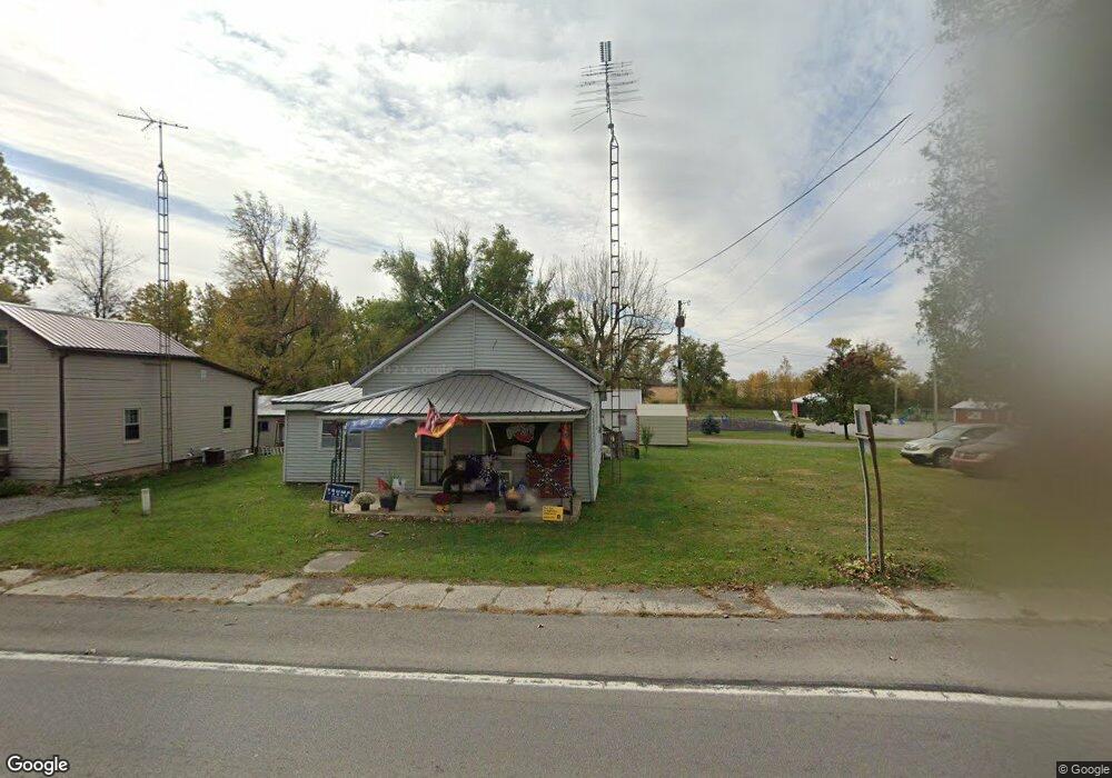
17803 State Route 117 Waynesfield, OH 45896
Estimated Value: $57,000 - $169,000
2
Beds
1
Bath
1,004
Sq Ft
$114/Sq Ft
Est. Value
About This Home
This home is located at 17803 State Route 117, Waynesfield, OH 45896 and is currently estimated at $114,865, approximately $114 per square foot. 17803 State Route 117 is a home with nearby schools including Upper Scioto Valley Elementary School, Upper Scioto Valley Middle School, and Upper Scioto Valley High School.
Ownership History
Date
Name
Owned For
Owner Type
Purchase Details
Closed on
May 28, 2014
Sold by
Davis Donald C and Davis Aleen
Bought by
Sherman I Daniel R and Sherma Elizabeth M
Current Estimated Value
Home Financials for this Owner
Home Financials are based on the most recent Mortgage that was taken out on this home.
Original Mortgage
$22,400
Outstanding Balance
$17,089
Interest Rate
4.28%
Mortgage Type
Purchase Money Mortgage
Estimated Equity
$97,776
Purchase Details
Closed on
May 13, 1994
Bought by
Davis Donald C and Davis Aleen
Purchase Details
Closed on
Apr 9, 1990
Create a Home Valuation Report for This Property
The Home Valuation Report is an in-depth analysis detailing your home's value as well as a comparison with similar homes in the area
Home Values in the Area
Average Home Value in this Area
Purchase History
| Date | Buyer | Sale Price | Title Company |
|---|---|---|---|
| Sherman I Daniel R | $28,000 | None Available | |
| Davis Donald C | $34,500 | -- | |
| -- | $18,000 | -- |
Source: Public Records
Mortgage History
| Date | Status | Borrower | Loan Amount |
|---|---|---|---|
| Open | Sherman I Daniel R | $22,400 |
Source: Public Records
Tax History Compared to Growth
Tax History
| Year | Tax Paid | Tax Assessment Tax Assessment Total Assessment is a certain percentage of the fair market value that is determined by local assessors to be the total taxable value of land and additions on the property. | Land | Improvement |
|---|---|---|---|---|
| 2024 | $582 | $15,220 | $980 | $14,240 |
| 2023 | $582 | $15,220 | $980 | $14,240 |
| 2022 | $489 | $11,650 | $1,030 | $10,620 |
| 2021 | $515 | $11,650 | $1,030 | $10,620 |
| 2020 | $521 | $11,650 | $1,030 | $10,620 |
| 2019 | $429 | $10,330 | $980 | $9,350 |
| 2018 | $431 | $10,330 | $980 | $9,350 |
| 2017 | $442 | $10,330 | $980 | $9,350 |
| 2016 | $458 | $12,210 | $1,660 | $10,550 |
| 2015 | $432 | $12,210 | $1,660 | $10,550 |
| 2014 | $148 | $12,210 | $1,660 | $10,550 |
| 2013 | $101 | $12,690 | $1,660 | $11,030 |
Source: Public Records
Map
Nearby Homes
- 2444 County Road 200
- 16949 Township Road 39
- 16161 Ash Ave
- 16235 Maple Ave
- 16074 Buckeye Ave
- 15527 State Route 235
- 15858 Hickory Ave
- 15848 Barnes Dr
- 11262 Northlake Dr
- 10998 Township Road 293
- 11065 County Road 293 Unit 13
- 11377 Township Rd 266 Unit 66
- 11377 Township Rd 266 Unit 30
- 11377 Township Rd 266 Unit 59
- 11455 Oak St
- 11377 Township Road 266 Unit 3
- 11377 Township Road 266 Unit 59
- 11377 Township Road 266 Unit 99
- 11377 Township Road 266 Unit 77
- 11377 Township Road 266 Unit 34