17806 Moyer Rd Waynesfield, OH 45896
Estimated Value: $325,000 - $452,000
4
Beds
3
Baths
1,656
Sq Ft
$218/Sq Ft
Est. Value
About This Home
This home is located at 17806 Moyer Rd, Waynesfield, OH 45896 and is currently estimated at $360,429, approximately $217 per square foot. 17806 Moyer Rd is a home located in Auglaize County with nearby schools including Waynesfield-Goshen Local Elementary School and Waynesfield-Goshen Local High School.
Ownership History
Date
Name
Owned For
Owner Type
Purchase Details
Closed on
Aug 25, 1995
Bought by
Cummings Brett W
Current Estimated Value
Create a Home Valuation Report for This Property
The Home Valuation Report is an in-depth analysis detailing your home's value as well as a comparison with similar homes in the area
Home Values in the Area
Average Home Value in this Area
Purchase History
| Date | Buyer | Sale Price | Title Company |
|---|---|---|---|
| Cummings Brett W | -- | -- |
Source: Public Records
Tax History Compared to Growth
Tax History
| Year | Tax Paid | Tax Assessment Tax Assessment Total Assessment is a certain percentage of the fair market value that is determined by local assessors to be the total taxable value of land and additions on the property. | Land | Improvement |
|---|---|---|---|---|
| 2024 | $5,286 | $84,040 | $16,840 | $67,200 |
| 2023 | $3,010 | $84,040 | $16,840 | $67,200 |
| 2022 | $3,130 | $74,470 | $16,460 | $58,010 |
| 2021 | $3,132 | $74,470 | $16,460 | $58,010 |
| 2020 | $1,549 | $74,470 | $16,464 | $58,006 |
| 2019 | $2,500 | $62,059 | $13,717 | $48,342 |
| 2018 | $2,433 | $62,059 | $13,717 | $48,342 |
| 2017 | $2,080 | $52,917 | $13,717 | $39,200 |
| 2016 | $2,154 | $56,662 | $13,066 | $43,596 |
| 2015 | $2,203 | $56,662 | $13,066 | $43,596 |
| 2014 | $2,151 | $56,662 | $13,066 | $43,596 |
| 2013 | $1,863 | $44,017 | $13,066 | $30,951 |
Source: Public Records
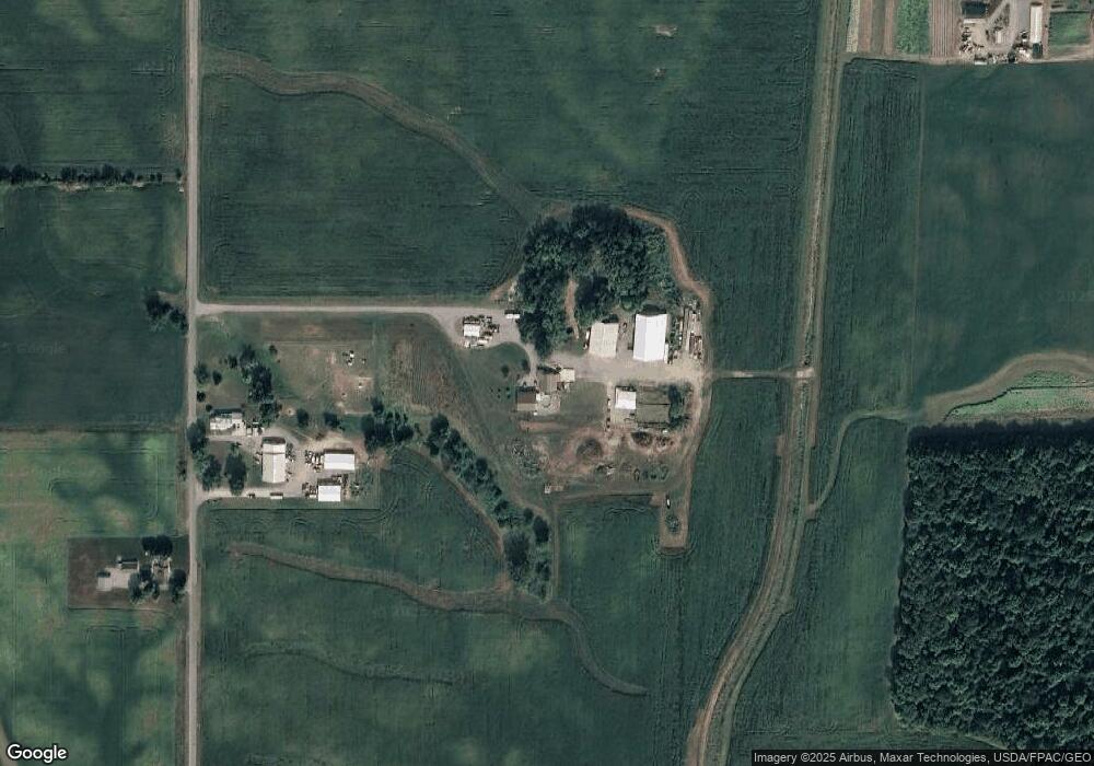
Map
Nearby Homes
- 202 W Mulberry St
- 105 Guthrie St
- 25836 Ohio 67
- 8150 Amherst Rd
- 22275 Buckland Holden Rd
- 5065 Amherst Rd
- 20630 State Route 67
- 7165 Faulkner Rd
- 6616 Bellefontaine Rd
- 6381 McPheron Rd
- 0 Ohio 235
- 5600 E Hanthorn Rd
- E Hanthorn Rd
- 200 S Main St
- 11352 N Township Road 88
- 13793 Ohio 235 Unit 75
- 12102 Shannon Dr Unit 89
- 17 E Walnut St
- 37 N Main St
- 0 Ohio 67
- 17744 Moyer Rd
- 17663 Moyer Rd
- 26231 Fairmount Rd
- 26436 Fairmount Rd
- 25861 Fairmount Rd
- 25781 Fairmount Rd
- 18128 Andrews Rd
- 25704 Fairmount Rd
- 18374 Moyer Rd
- 18390 Andrews Rd
- 26882 Fairmount Rd
- 18466 Moyer Rd
- 18401 Andrews Rd
- 25411 Fairmount Rd
- 26531 State Route 67
- 26414 State Route 67
- 25376 Fairmount Rd