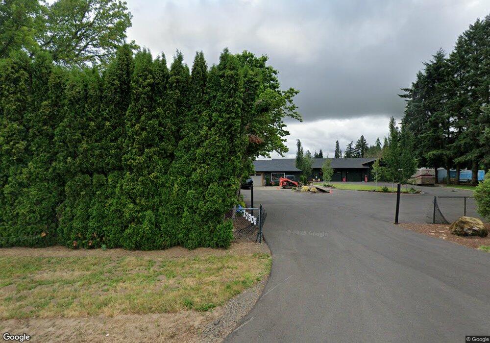
17808 SW Elsner Rd Sherwood, OR 97140
Bull Mountain NeighborhoodEstimated Value: $1,255,521
6
Beds
4
Baths
3,010
Sq Ft
$417/Sq Ft
Est. Value
About This Home
This home is located at 17808 SW Elsner Rd, Sherwood, OR 97140 and is currently estimated at $1,255,521, approximately $417 per square foot. 17808 SW Elsner Rd is a home located in Washington County with nearby schools including Deer Creek Elementary School, Twality Middle School, and Tualatin High School.
Ownership History
Date
Name
Owned For
Owner Type
Purchase Details
Closed on
Sep 29, 2014
Sold by
Neill Dennis R O and Neill Sheryl D O
Bought by
Sheasgreen Barry F and Sheasgreen Charlene L
Current Estimated Value
Home Financials for this Owner
Home Financials are based on the most recent Mortgage that was taken out on this home.
Original Mortgage
$504,864
Outstanding Balance
$386,909
Interest Rate
4.09%
Mortgage Type
New Conventional
Estimated Equity
$868,612
Create a Home Valuation Report for This Property
The Home Valuation Report is an in-depth analysis detailing your home's value as well as a comparison with similar homes in the area
Home Values in the Area
Average Home Value in this Area
Purchase History
| Date | Buyer | Sale Price | Title Company |
|---|---|---|---|
| Sheasgreen Barry F | $631,080 | First American |
Source: Public Records
Mortgage History
| Date | Status | Borrower | Loan Amount |
|---|---|---|---|
| Open | Sheasgreen Barry F | $504,864 |
Source: Public Records
Tax History Compared to Growth
Tax History
| Year | Tax Paid | Tax Assessment Tax Assessment Total Assessment is a certain percentage of the fair market value that is determined by local assessors to be the total taxable value of land and additions on the property. | Land | Improvement |
|---|---|---|---|---|
| 2025 | $7,801 | $580,180 | -- | -- |
| 2024 | $7,596 | $563,290 | -- | -- |
| 2023 | $7,596 | $546,890 | $0 | $0 |
| 2022 | $7,382 | $546,890 | $0 | $0 |
| 2021 | $7,200 | $515,510 | $0 | $0 |
| 2020 | $6,978 | $500,500 | $0 | $0 |
| 2019 | $6,751 | $485,930 | $0 | $0 |
| 2018 | $6,542 | $471,780 | $0 | $0 |
| 2017 | $6,320 | $458,040 | $0 | $0 |
| 2016 | $6,004 | $444,700 | $0 | $0 |
| 2015 | $5,746 | $431,750 | $0 | $0 |
| 2014 | $5,215 | $419,180 | $0 | $0 |
Source: Public Records
Map
Nearby Homes
- 16075 SW Beef Bend Rd
- 15999 SW Bluewater Terrace
- 15985 SW Bluewater Terrace
- 15978 SW Peace Ave
- 15974 SW Peace Ave
- 15970 SW Peace Ave
- Holston II Plan at Darby Ridge
- Andover II Plan at Darby Ridge
- Holston Plan at Darby Ridge
- Vashon Plan at Darby Ridge
- Vashon II Plan at Darby Ridge
- Andover Plan at Darby Ridge
- 15944 SW Bluewater Terrace
- 14810 SW Trevor Ln
- 15192 SW Huntwood St
- 15689 SW Missouri Ave
- 15179 SW Huntwood St
- 16638 SW Noosa Ct
- 15448 SW Everglade Ave
- 15639 SW Missouri Ave
- 17819 SW Elsner Rd
- 17890 SW Elsner Rd
- 17720 SW Elsner Rd
- 18065 SW Elsner Rd
- 17500 SW Elsner Rd
- 17147 SW Elsner Rd
- 17155 SW Elsner Rd
- 16888 SW Elsner Rd
- 17985 SW Roy Rogers Rd
- 16170 SW Beef Bend Rd
- 16300 SW Beef Bend Rd
- 16282 SW Beef Bend Rd Unit 1501
- 17141 SW Beef Bend Rd
- 15500 SW Beef Bend Rd
- 15800 SW Beef Bend Rd
- 19014 SW Roy Rogers Rd
- 15520 SW Beef Bend Rd
- 16925 SW Meyer Ln
- 16815 SW Meyer Ln
- 16785 SW Meyer Ln