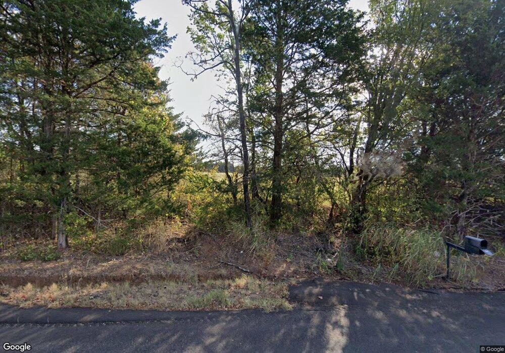
17809 Crosslin Rd Shawnee, OK 74801
Estimated Value: $259,000 - $342,625
3
Beds
2
Baths
1,701
Sq Ft
$175/Sq Ft
Est. Value
About This Home
This home is located at 17809 Crosslin Rd, Shawnee, OK 74801 and is currently estimated at $297,542, approximately $174 per square foot. 17809 Crosslin Rd is a home located in Pottawatomie County with nearby schools including South Rock Creek Public School.
Ownership History
Date
Name
Owned For
Owner Type
Purchase Details
Closed on
Jun 10, 2011
Sold by
Daniels Travis and Daniels Tamee
Bought by
Knight Donnie and Knight Jacque
Current Estimated Value
Home Financials for this Owner
Home Financials are based on the most recent Mortgage that was taken out on this home.
Original Mortgage
$48,000
Interest Rate
4.81%
Mortgage Type
Purchase Money Mortgage
Purchase Details
Closed on
Apr 10, 2003
Sold by
Armstrong Glen and Armstrong Faye O
Bought by
Daniels Travis and Daniels Tamee
Purchase Details
Closed on
Jul 30, 1997
Sold by
Fox Norma
Bought by
Armstrong Glen and Armstrong O
Create a Home Valuation Report for This Property
The Home Valuation Report is an in-depth analysis detailing your home's value as well as a comparison with similar homes in the area
Home Values in the Area
Average Home Value in this Area
Purchase History
| Date | Buyer | Sale Price | Title Company |
|---|---|---|---|
| Knight Donnie | $60,000 | None Available | |
| Daniels Travis | $35,000 | -- | |
| Armstrong Glen | $20,000 | -- |
Source: Public Records
Mortgage History
| Date | Status | Borrower | Loan Amount |
|---|---|---|---|
| Closed | Knight Donnie | $48,000 |
Source: Public Records
Tax History Compared to Growth
Tax History
| Year | Tax Paid | Tax Assessment Tax Assessment Total Assessment is a certain percentage of the fair market value that is determined by local assessors to be the total taxable value of land and additions on the property. | Land | Improvement |
|---|---|---|---|---|
| 2025 | $2,180 | $29,496 | $8,121 | $21,375 |
| 2024 | $2,476 | $28,637 | $7,885 | $20,752 |
| 2023 | $2,476 | $27,804 | $7,458 | $20,346 |
| 2022 | $2,107 | $24,025 | $4,200 | $19,825 |
| 2021 | $1,773 | $24,187 | $4,200 | $19,987 |
| 2020 | $2,127 | $22,799 | $4,200 | $18,599 |
| 2019 | $2,065 | $22,134 | $4,200 | $17,934 |
| 2018 | $2,049 | $21,490 | $4,200 | $17,290 |
| 2017 | $1,976 | $20,865 | $4,200 | $16,665 |
| 2016 | $1,799 | $20,256 | $4,200 | $16,056 |
| 2015 | $1,790 | $19,667 | $4,200 | $15,467 |
| 2014 | $1,735 | $19,094 | $4,200 | $14,894 |
Source: Public Records
Map
Nearby Homes
- 18835 Ferdondo Dr
- 48052 River Rd
- 16710 Kings Rd
- 16504 Kings Rd
- 19553 Crosslin Rd
- 45201 Hardesty Rd
- 45210 Hardesty Rd
- 17701 S Rock Creek Rd
- 00 S Rock Creek Rd
- 4 Hillcrest Dr
- 00 Allyson Ln
- 15709 Crosslin Rd
- 46500 Bob Crouch Rd
- 103 Cody Rd
- 106 Cody Rd
- 20302 Kings Rd
- 00 Hardesty Rd 15 Acres
- 44630 Kingsbury
- 44508 Kingsbury Ln
- 44303 Hardesty Rd
- 17808 Crosslin Rd
- 17708 Crosslin Rd
- 425 N Cleveland Rd
- 17811 Crosslin Rd
- 17606 Crosslin Rd
- 46812 Hardesty Rd
- 46812 Hardesty Rd
- 47005 Hardesty Rd
- 46967 Hickory Hollow
- 46819 Hickory Hollow
- 46935 Hickory Hollow
- 46767 Hickory Hollow
- 46885 Hickory Hollow
- 46809 Hardesty Rd
- 46706 Hardesty Rd
- 46906 Hickory Hollow
- 46355 Hardesty Rd
- 46814 Hickory Hollow
- 46739 Hickory Hollow
- 47250 Hardesty Rd
