1781 Hewatt Rd SW Lilburn, GA 30047
Estimated Value: $500,000 - $677,427
4
Beds
4
Baths
2,833
Sq Ft
$211/Sq Ft
Est. Value
About This Home
This home is located at 1781 Hewatt Rd SW, Lilburn, GA 30047 and is currently estimated at $598,607, approximately $211 per square foot. 1781 Hewatt Rd SW is a home located in Gwinnett County with nearby schools including Head Elementary School, Five Forks Middle School, and Brookwood High School.
Ownership History
Date
Name
Owned For
Owner Type
Purchase Details
Closed on
Nov 15, 2023
Sold by
Wiersema Lisa
Bought by
Wiersema Family Trust Dated May 27 2022
Current Estimated Value
Purchase Details
Closed on
Feb 17, 2023
Sold by
Gray Velon H
Bought by
Wiersema Michael J and Wiersema Lisa T
Home Financials for this Owner
Home Financials are based on the most recent Mortgage that was taken out on this home.
Original Mortgage
$400,000
Interest Rate
6.15%
Mortgage Type
New Conventional
Create a Home Valuation Report for This Property
The Home Valuation Report is an in-depth analysis detailing your home's value as well as a comparison with similar homes in the area
Home Values in the Area
Average Home Value in this Area
Purchase History
| Date | Buyer | Sale Price | Title Company |
|---|---|---|---|
| Wiersema Family Trust Dated May 27 2022 | -- | -- | |
| Wiersema Lisa | -- | -- | |
| Wiersema Michael J | $600,000 | -- |
Source: Public Records
Mortgage History
| Date | Status | Borrower | Loan Amount |
|---|---|---|---|
| Previous Owner | Wiersema Michael J | $400,000 |
Source: Public Records
Tax History Compared to Growth
Tax History
| Year | Tax Paid | Tax Assessment Tax Assessment Total Assessment is a certain percentage of the fair market value that is determined by local assessors to be the total taxable value of land and additions on the property. | Land | Improvement |
|---|---|---|---|---|
| 2025 | $7,498 | $204,480 | $78,640 | $125,840 |
| 2024 | $7,997 | $214,640 | $88,800 | $125,840 |
| 2023 | $7,997 | $214,640 | $88,800 | $125,840 |
| 2022 | $2,347 | $167,520 | $44,400 | $123,120 |
| 2021 | $2,363 | $167,520 | $44,400 | $123,120 |
| 2020 | $2,369 | $167,520 | $44,400 | $123,120 |
| 2019 | $2,117 | $121,320 | $36,400 | $84,920 |
| 2018 | $2,117 | $121,320 | $36,400 | $84,920 |
| 2016 | $2,155 | $121,320 | $36,400 | $84,920 |
| 2015 | $2,188 | $121,320 | $36,400 | $84,920 |
| 2014 | $2,047 | $93,920 | $27,200 | $66,720 |
Source: Public Records
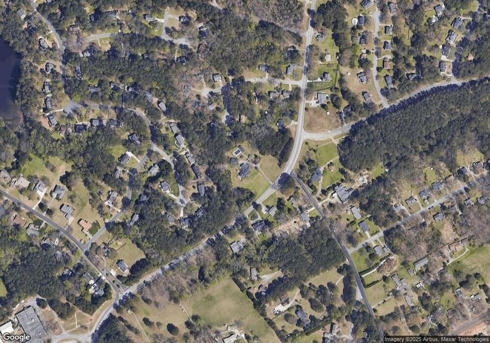
Map
Nearby Homes
- 1795 Elmwood Cir
- 1721 Bruckner Ct
- 1893 Hedgestone Ct
- 3594 Hedgestone Ln
- 3728 Kelin Ct SW
- 2350 Action Way
- 3663 Stonelake Ct SW Unit 1
- 1776 Bear Cave SW
- 3588 Kelin Ct SW
- 1904 Britt Dr
- 3725 Hunting Ridge Dr SW
- 3207 Aspen Cir SW
- 2167 Foley Park St
- 2286 Foley Park St
- 3331 Manchester Dr SW
- 2034 Britt Dr
- 3063 Bruckner Blvd
- 1905 Embassy Walk Ln
- 1754 Vista Heights Ct SW
- 3519 Harmony Cove SW
- 3529 Harmony Cove SW Unit 7
- 1744 Vista Heights Ct SW
- 1772 Hewatt Rd SW
- 1743 Vista Heights Ct SW
- 1785 Elmwood Cir
- 3539 Harmony Cove SW
- 1747 Hewatt Rd SW
- 3509 Harmony Cove SW Unit 7
- 1782 Hewatt Rd SW
- 3482 Vista Heights Way SW
- 3549 Harmony Cove SW
- 3452 Vista Heights Ct SW
- 3452 Vista Heights Way SW
- 3462 Vista Heights Way SW
- 1786 Hewatt Rd SW
- 3442 Vista Heights Way SW
- 3510 Harmony Cove SW Unit 7
- 3492 Vista Heights Way SW