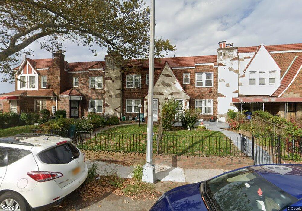
17811 Leslie Rd Jamaica, NY 11434
Saint Albans NeighborhoodEstimated Value: $613,495 - $725,000
--
Bed
--
Bath
1,420
Sq Ft
$480/Sq Ft
Est. Value
About This Home
This home is located at 17811 Leslie Rd, Jamaica, NY 11434 and is currently estimated at $682,124, approximately $480 per square foot. 17811 Leslie Rd is a home located in Queens County with nearby schools including The Jermaine L. Green STEM Institute of Queens, Catherine & Count Basie Middle School 72, and Rochdale Early Advantage Charter School.
Ownership History
Date
Name
Owned For
Owner Type
Purchase Details
Closed on
Oct 29, 1997
Sold by
Thwaites Elaine A and Moe Leon
Bought by
Smith William and Green Marica M
Current Estimated Value
Home Financials for this Owner
Home Financials are based on the most recent Mortgage that was taken out on this home.
Original Mortgage
$128,250
Outstanding Balance
$20,844
Interest Rate
7.17%
Estimated Equity
$661,280
Create a Home Valuation Report for This Property
The Home Valuation Report is an in-depth analysis detailing your home's value as well as a comparison with similar homes in the area
Home Values in the Area
Average Home Value in this Area
Purchase History
| Date | Buyer | Sale Price | Title Company |
|---|---|---|---|
| Smith William | $135,000 | First American Title Ins Co |
Source: Public Records
Mortgage History
| Date | Status | Borrower | Loan Amount |
|---|---|---|---|
| Open | Smith William | $128,250 |
Source: Public Records
Tax History Compared to Growth
Tax History
| Year | Tax Paid | Tax Assessment Tax Assessment Total Assessment is a certain percentage of the fair market value that is determined by local assessors to be the total taxable value of land and additions on the property. | Land | Improvement |
|---|---|---|---|---|
| 2025 | $5,376 | $28,663 | $8,960 | $19,703 |
| 2024 | $5,388 | $28,166 | $9,123 | $19,043 |
| 2023 | $5,109 | $26,837 | $8,946 | $17,891 |
| 2022 | $4,767 | $34,560 | $12,360 | $22,200 |
| 2021 | $4,731 | $31,800 | $12,360 | $19,440 |
| 2020 | $4,760 | $27,360 | $12,360 | $15,000 |
| 2019 | $4,617 | $25,560 | $12,360 | $13,200 |
| 2018 | $4,261 | $22,364 | $11,782 | $10,582 |
| 2017 | $4,001 | $21,099 | $11,747 | $9,352 |
| 2016 | $3,669 | $21,099 | $11,747 | $9,352 |
| 2015 | $2,181 | $19,905 | $12,027 | $7,878 |
| 2014 | $2,181 | $19,560 | $12,908 | $6,652 |
Source: Public Records
Map
Nearby Homes
- 178-10 Leslie Rd
- 17710 Troutville Rd
- 17715 Troutville Rd
- 17918 Selover Rd
- 11984 178th Place
- 17720 Leslie Rd
- 176-27 Sunbury Rd
- 119-72 178th St
- 179-01 120th Ave
- 17955 Anderson Rd
- 179-50 Anderson Rd
- 119-48 178th St
- 178-20 Selover Rd
- 174-41 125th Ave
- 179-47 Zoller Rd
- 12126 Irwin Place
- 12811 Harry Douglass Way
- 176-17 127th Ave
- 17915 Eveleth Rd
- 17911 Eveleth Rd
- 17815 Leslie Rd
- 17809 Leslie Rd
- 17817 Leslie Rd
- 17819 Leslie Rd
- 17807 Leslie Rd
- 120-47 178th St
- 12047 178th St
- 17821 Leslie Rd
- 17823 Leslie Rd
- 12043 178th St
- 17825 Leslie Rd
- 12041 178th St
- 12052 178th St
- 12039 178th St
- 178-27 Leslie Rd
- 17812 Leslie Rd
- 178-12 Leslie Rd
- 17814 Leslie Rd
- 17810 Leslie Rd
- 17753 Leslie Rd