17811 Trestle Bend Dr Big Rapids, MI 49307
Estimated Value: $429,000 - $727,000
5
Beds
3
Baths
2,285
Sq Ft
$265/Sq Ft
Est. Value
About This Home
This home is located at 17811 Trestle Bend Dr, Big Rapids, MI 49307 and is currently estimated at $605,787, approximately $265 per square foot. 17811 Trestle Bend Dr is a home located in Mecosta County with nearby schools including Big Rapids High School, Crossroads Charter Academy Elementary School, and Crossroads Charter Academy Middle/High School.
Ownership History
Date
Name
Owned For
Owner Type
Purchase Details
Closed on
Feb 9, 2021
Sold by
Kesting Christopher W and Kesting Kayla R
Bought by
Kesting Christopher W and Kesting Kayla R
Current Estimated Value
Purchase Details
Closed on
Jan 7, 2005
Sold by
Towner David B and Towner Christine L
Bought by
Kesting Christopher W and Kesting Kayla R
Home Financials for this Owner
Home Financials are based on the most recent Mortgage that was taken out on this home.
Original Mortgage
$263,100
Interest Rate
5.78%
Mortgage Type
Purchase Money Mortgage
Create a Home Valuation Report for This Property
The Home Valuation Report is an in-depth analysis detailing your home's value as well as a comparison with similar homes in the area
Home Values in the Area
Average Home Value in this Area
Purchase History
| Date | Buyer | Sale Price | Title Company |
|---|---|---|---|
| Kesting Christopher W | -- | None Available | |
| Kesting Christopher W | $355,000 | Mecosta County Abstract & Ti |
Source: Public Records
Mortgage History
| Date | Status | Borrower | Loan Amount |
|---|---|---|---|
| Closed | Kesting Christopher W | $263,100 |
Source: Public Records
Tax History Compared to Growth
Tax History
| Year | Tax Paid | Tax Assessment Tax Assessment Total Assessment is a certain percentage of the fair market value that is determined by local assessors to be the total taxable value of land and additions on the property. | Land | Improvement |
|---|---|---|---|---|
| 2025 | $5,463 | $279,500 | $0 | $0 |
| 2024 | -- | $276,300 | $0 | $0 |
| 2023 | -- | $253,900 | $0 | $0 |
| 2022 | $0 | $227,100 | $0 | $0 |
| 2021 | -- | $214,600 | $0 | $0 |
| 2020 | -- | -- | $0 | $0 |
| 2019 | -- | -- | $0 | $0 |
| 2018 | -- | -- | $0 | $0 |
| 2017 | -- | -- | $0 | $0 |
| 2016 | -- | -- | $0 | $0 |
| 2014 | -- | -- | $0 | $0 |
| 2013 | -- | -- | $0 | $0 |
Source: Public Records
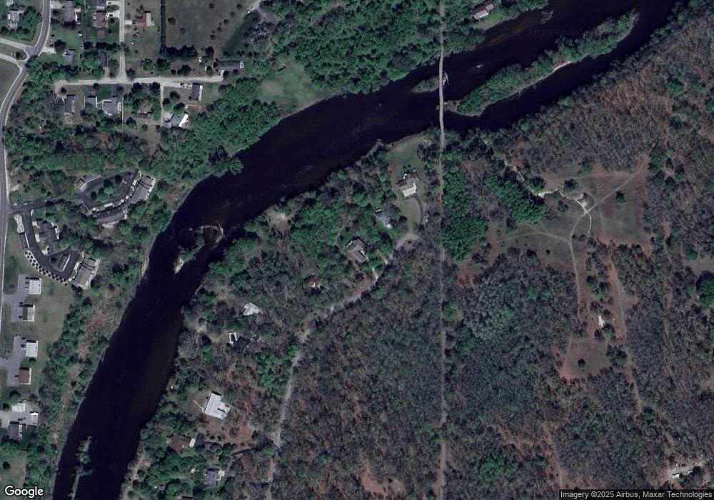
Map
Nearby Homes
- 20405 Mack Dr
- 18188 Meadow Ln
- 20461 Spruce Rd
- 20770 Ross Pkwy
- 18075 Shamrock Blvd
- 20825 Emerald Ln
- 18336 Saint Joseph Ave Unit 222
- 20768 Kalamazoo Rd
- 18145 Shamrock Blvd
- 880 West Ave
- 20793 Grandville Rd Unit 212
- 20803 Grandville Rd Unit 213
- 1405 Bjornson St
- 1116 Rose Ave
- 18470 195th Ave
- 1001 Rose Ave
- 226 Baldwin St
- 21238 Deans View
- 20600 Rolling Hills Ln
- 919 Bjornson St
- 17787 Trestle Bend Dr
- 17767 Trestle Bend Dr
- 17771 Trestle Bend Dr
- 17787 Trestle Bend Dr
- 17791 Trestle Bend Dr
- 17799 Trestle Bend Dr
- 17817 Trestle Bend Dr
- 17825 Trestle Bend Dr
- 17777 Trestle Bend Dr
- 17777 Trestle Bend Dr Unit 13, 14
- 17924 Rivers Edge Dr
- 17943 205th Ave
- 17960 Rivers Edge Dr
- 17940 Riverbluff Dr
- 17944 Riverbluff Dr
- 17948 Riverbluff Dr
- 17952 Riverbluff Dr
- 17924 Riverbluff Dr
- 17928 Riverbluff Dr Unit C
- 17936 Riverbluff Dr