1782 Airline Rd Put In Bay, OH 43456
Estimated Value: $980,000 - $1,064,000
3
Beds
4
Baths
2,610
Sq Ft
$388/Sq Ft
Est. Value
About This Home
This home is located at 1782 Airline Rd, Put In Bay, OH 43456 and is currently estimated at $1,012,483, approximately $387 per square foot. 1782 Airline Rd is a home with nearby schools including Put-In-Bay Elementary School and Put-In-Bay High School.
Ownership History
Date
Name
Owned For
Owner Type
Purchase Details
Closed on
Mar 28, 2001
Sold by
Verble Bill F
Bought by
Raymond B Fogg Jr Trst
Current Estimated Value
Home Financials for this Owner
Home Financials are based on the most recent Mortgage that was taken out on this home.
Original Mortgage
$275,000
Outstanding Balance
$101,376
Interest Rate
7.02%
Mortgage Type
New Conventional
Estimated Equity
$911,107
Create a Home Valuation Report for This Property
The Home Valuation Report is an in-depth analysis detailing your home's value as well as a comparison with similar homes in the area
Home Values in the Area
Average Home Value in this Area
Purchase History
| Date | Buyer | Sale Price | Title Company |
|---|---|---|---|
| Raymond B Fogg Jr Trst | $344,000 | -- |
Source: Public Records
Mortgage History
| Date | Status | Borrower | Loan Amount |
|---|---|---|---|
| Open | Raymond B Fogg Jr Trst | $275,000 |
Source: Public Records
Tax History Compared to Growth
Tax History
| Year | Tax Paid | Tax Assessment Tax Assessment Total Assessment is a certain percentage of the fair market value that is determined by local assessors to be the total taxable value of land and additions on the property. | Land | Improvement |
|---|---|---|---|---|
| 2024 | $8,066 | $261,888 | $92,204 | $169,684 |
| 2023 | $8,066 | $199,192 | $100,233 | $98,959 |
| 2022 | $6,392 | $199,192 | $100,233 | $98,959 |
| 2021 | $6,398 | $199,190 | $100,230 | $98,960 |
| 2020 | $5,678 | $169,560 | $76,510 | $93,050 |
| 2019 | $5,455 | $169,560 | $76,510 | $93,050 |
| 2018 | $5,505 | $169,560 | $76,510 | $93,050 |
| 2017 | $5,237 | $159,810 | $76,510 | $83,300 |
| 2016 | $5,246 | $159,810 | $76,510 | $83,300 |
| 2015 | $5,148 | $159,810 | $76,510 | $83,300 |
| 2014 | $5,135 | $159,810 | $76,510 | $83,300 |
| 2013 | $4,817 | $159,810 | $76,510 | $83,300 |
Source: Public Records
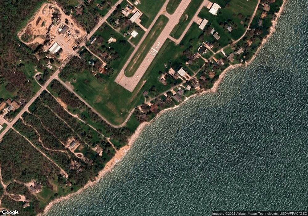
Map
Nearby Homes
- 1751 Airline Dr
- 166 Mariners Cove
- 1 Langram Rd
- 0 Langram Rd
- 1839 Put In Bay Rd
- 156 Cessna Dr
- 1262 Tri-Motor Dr Unit 110
- 1252 Tri-Motor Dr Unit 213
- 1230 Tri Motor Dr Unit 4
- 1230 Tri-Motor Dr Unit 4
- 1741 Put In Bay Rd
- 70 Niese Place
- 0 Put-In-bay Rd Unit 5108785
- 174 Booker Ln
- 1 Elliot Ave
- 1 Jones
- 1 Farragut
- 569 Victory Ln
- 585 Victory Ln
- 389 Loraine Ave
- 1762 Airline Rd
- 1772 Airline Rd
- 1742 Airline Rd
- 1722 Airline Rd
- 1723 Airline
- 1712 Airline Rd
- 1699 Airline Rd
- 1692 Airline Rd
- 1691 Airline Rd
- 1672 Airline Rd
- 1872 Langram Rd Unit 1882
- 1872 Langram Rd
- 1652 Airline Rd
- 1683 Airline Rd
- 1632 Airline Rd
- 1671 Airline Rd
- 1900 Langram Rd
- 10 Airline Dr
- 0 Airline Dr
- 1439 Airline Dr