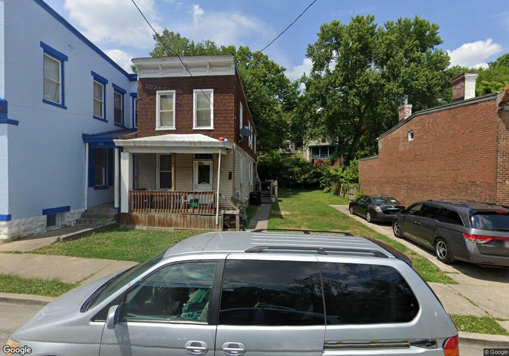
1782 Carll St Cincinnati, OH 45225
North Fairmount NeighborhoodEstimated Value: $72,000 - $112,000
About This Home
This home is located at 1782 Carll St, Cincinnati, OH 45225 and is currently estimated at $97,438, approximately $63 per square foot. 1782 Carll St is a home located in Hamilton County with nearby schools including Ethel M. Taylor Academy, Robert A. Taft Information Technology High School, and Western Hills High School.
Ownership History
We collect this data history from publicly available records. To have your information removed, we recommend requesting removal directly through your county’s website.
Purchase Details
Purchase Details
Home Financials for this Owner
Home Financials are based on the most recent Mortgage that was taken out on this home.Purchase Details
Purchase Details
Purchase Details
Purchase Details
Home Financials for this Owner
Home Financials are based on the most recent Mortgage that was taken out on this home.Purchase Details
Purchase Details
Home Values in the Area
Average Home Value in this Area
Purchase History
We collect this data history from publicly available records. To have your information removed, we recommend requesting removal directly through your county’s website.
| Date | Buyer | Sale Price | Title Company |
|---|---|---|---|
| -- | Attorney | ||
| $70,000 | Precision Land Title | ||
| $25,000 | -- | ||
| $17,000 | -- | ||
| $26,000 | -- | ||
| $78,000 | -- | ||
| $36,500 | -- | ||
| -- | -- |
Mortgage History
We collect this data history from publicly available records. To have your information removed, we recommend requesting removal directly through your county’s website.
| Date | Status | Borrower | Loan Amount |
|---|---|---|---|
| Previous Owner | $63,000 | ||
| Previous Owner | $70,200 |
Tax History
We collect this data history from publicly available records. To have your information removed, we recommend requesting removal directly through your county’s website.
| Year | Tax Paid | Tax Assessment Tax Assessment Total Assessment is a certain percentage of the fair market value that is determined by local assessors to be the total taxable value of land and additions on the property. | Land | Improvement |
|---|---|---|---|---|
| 2025 | $753 | $11,775 | $1,229 | $10,546 |
| 2024 | $752 | $11,775 | $1,229 | $10,546 |
| 2023 | $753 | $11,775 | $1,229 | $10,546 |
| 2022 | $565 | $7,935 | $1,243 | $6,692 |
| 2021 | $554 | $7,935 | $1,243 | $6,692 |
| 2020 | $555 | $7,935 | $1,243 | $6,692 |
| 2019 | $555 | $7,214 | $1,131 | $6,083 |
| 2018 | $555 | $7,214 | $1,131 | $6,083 |
| 2017 | $535 | $7,214 | $1,131 | $6,083 |
| 2016 | $271 | $3,536 | $1,411 | $2,125 |
| 2015 | $243 | $3,536 | $1,411 | $2,125 |
| 2014 | $244 | $3,536 | $1,411 | $2,125 |
| 2013 | $246 | $3,501 | $1,397 | $2,104 |
Map
- 1797 Denham St
- 1765 Denham St
- 1793 Baltimore Ave
- 2592 Seegar Ave
- 1743 Baltimore Ave
- 1732 Denham St
- 2563 Trevor Place
- 2568 Trevor Place
- 1674 Baltimore Ave
- 1883 Baltimore Ave
- 1642 Sutter Ave
- 2911 Moosewood Ct
- 1607 Pulte St
- 1767 Sutter Ave
- 3065 Moosewood Ave
- 1959 Baltimore Ave
- 1854 Knox St
- 3087 Moosewood Ave
- 3091 Beekman St
- 2564 Linden St
- 1778 Carll St
- 1774 Carll St
- 1788 Carll St
- 1772 Carll St
- 1772 Carll St Unit 1774
- 1781 Denham St
- 1785 Denham St
- 1779 Denham St
- 1787 Denham St
- 1770 Carll St
- 1777 Denham St
- 1777 Denham St
- 1773 Denham St
- 1768 Carll St
- 1769 Carll St
- 1771 Denham St
- 1793 Denham St Unit 1791
- 1793 Denham St
- 1792 Carll St
- 1766 Carll St
Ask me questions while you tour the home.