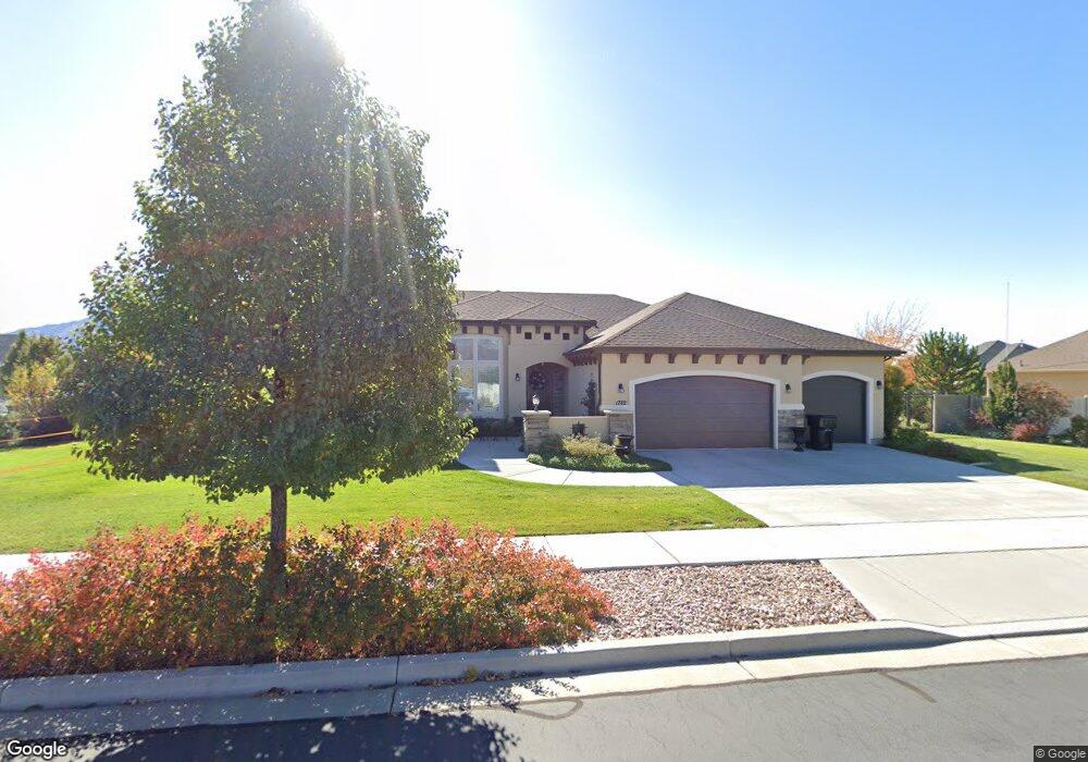
1782 E 320 N Unit 321G Spanish Fork, UT 84660
Estimated Value: $782,000 - $930,000
4
Beds
4
Baths
2,906
Sq Ft
$290/Sq Ft
Est. Value
About This Home
This home is located at 1782 E 320 N Unit 321G, Spanish Fork, UT 84660 and is currently estimated at $844,074, approximately $290 per square foot. 1782 E 320 N Unit 321G is a home located in Utah County with nearby schools including Sierra Bonita Elementary School, Mapleton Junior High School, and Maple Mountain High School.
Ownership History
Date
Name
Owned For
Owner Type
Purchase Details
Closed on
Aug 30, 2017
Sold by
Theobald John H and Theobald Kathleen H
Bought by
Theobald John H and Theobald Kathleen H
Current Estimated Value
Purchase Details
Closed on
Mar 12, 2015
Sold by
Salisbury Developers Inc
Bought by
Theobald John H and Theobald Katheleen H
Create a Home Valuation Report for This Property
The Home Valuation Report is an in-depth analysis detailing your home's value as well as a comparison with similar homes in the area
Home Values in the Area
Average Home Value in this Area
Purchase History
| Date | Buyer | Sale Price | Title Company |
|---|---|---|---|
| Theobald John H | -- | None Available | |
| Theobald John H | -- | Affiliated First Title Co |
Source: Public Records
Mortgage History
| Date | Status | Borrower | Loan Amount |
|---|---|---|---|
| Closed | Theobald John H | $0 |
Source: Public Records
Tax History
| Year | Tax Paid | Tax Assessment Tax Assessment Total Assessment is a certain percentage of the fair market value that is determined by local assessors to be the total taxable value of land and additions on the property. | Land | Improvement |
|---|---|---|---|---|
| 2025 | $3,512 | $409,585 | -- | -- |
| 2024 | $3,512 | $362,010 | $0 | $0 |
| 2023 | $3,541 | $365,365 | $0 | $0 |
| 2022 | $3,418 | $345,895 | $0 | $0 |
| 2021 | $2,916 | $472,100 | $157,000 | $315,100 |
| 2020 | $2,710 | $426,600 | $142,700 | $283,900 |
| 2019 | $2,504 | $414,700 | $133,800 | $280,900 |
| 2018 | $2,519 | $403,200 | $122,300 | $280,900 |
| 2017 | $2,552 | $219,560 | $0 | $0 |
| 2016 | $2,407 | $204,380 | $0 | $0 |
| 2015 | $1,216 | $102,000 | $0 | $0 |
Source: Public Records
Map
Nearby Homes
- 2137 E 200 N Unit MSF53
- 2138 E 200 N Unit MSF54
- 2163 E 200 N Unit MSF52
- 2117 E 130 N Unit 59
- 663 N 2040 E
- 1495 E 400 N
- 2283 E 400 N Unit 33
- 2271 E 400 N Unit 32
- 2155 E 130 N Unit 57
- 2131 E 130 N Unit 58
- 1005 E 260 N Unit 20
- 53 S 2000 E
- 2351 E 390 N Unit 6
- 309 N 2350 E Unit 1
- 377 N 2350 E Unit 4
- 1455 E 100 S
- 1815 E 160 S
- 376 N 2350 E Unit 9
- 1025 E 360 N Unit 5
- 1022 E 360 N Unit 27
- 1785 E 260 N
- 1756 E 320 N Unit MORRIS
- 1753 E 260 N Unit 319F
- 342 N 1750 E Unit 308G
- 306 N 1800 E
- 1795 E 320 N Unit 309G
- 316 N 1800 E
- 282 N 1800 E Unit DREXEL
- 1726 E 320 N Unit CAPRIC
- 1799 E 320 N Unit CUSTOM
- 1737 E 260 N
- 1786 E 260 N
- 1786 E 260 N Unit WESTWO
- 1786 E 260 N Unit BORDE
- 374 N 1750 E Unit 307
- 1727 E 320 N Unit CAPRIC
- 313 N 1880 E
- 303 N 1880 E
- 331 N 1880 E
- 1754 E 260 N Unit 316F
Your Personal Tour Guide
Ask me questions while you tour the home.