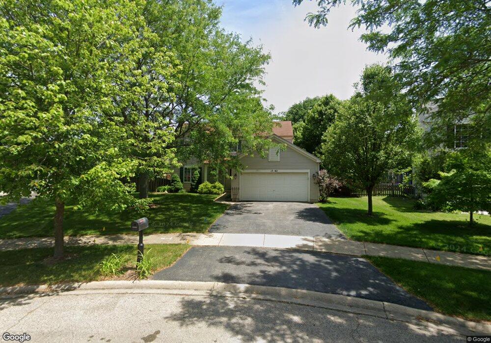
1782 Royal Ct Aurora, IL 60503
Far Southeast NeighborhoodEstimated Value: $417,000 - $450,000
3
Beds
3
Baths
1,823
Sq Ft
$236/Sq Ft
Est. Value
About This Home
This home is located at 1782 Royal Ct, Aurora, IL 60503 and is currently estimated at $429,693, approximately $235 per square foot. 1782 Royal Ct is a home located in Kendall County with nearby schools including The Wheatlands Elementary School, Bednarcik Jr. High School, and Oswego East High School.
Ownership History
Date
Name
Owned For
Owner Type
Purchase Details
Closed on
Jul 6, 2002
Sold by
Wheatland Single Family Llc
Bought by
Atherton Donald L and Atherton Kimberly A
Current Estimated Value
Home Financials for this Owner
Home Financials are based on the most recent Mortgage that was taken out on this home.
Original Mortgage
$203,817
Outstanding Balance
$86,341
Interest Rate
6.7%
Mortgage Type
FHA
Estimated Equity
$343,352
Create a Home Valuation Report for This Property
The Home Valuation Report is an in-depth analysis detailing your home's value as well as a comparison with similar homes in the area
Home Values in the Area
Average Home Value in this Area
Purchase History
We collect this data history from publicly available records. To have your information removed, we recommend requesting removal directly through your county’s website.
| Date | Buyer | Sale Price | Title Company |
|---|---|---|---|
| Atherton Donald L | $207,500 | Ticor Title Insurance |
Source: Public Records
Mortgage History
We collect this data history from publicly available records. To have your information removed, we recommend requesting removal directly through your county’s website.
| Date | Status | Borrower | Loan Amount |
|---|---|---|---|
| Open | Atherton Donald L | $203,817 |
Source: Public Records
Tax History
| Year | Tax Paid | Tax Assessment Tax Assessment Total Assessment is a certain percentage of the fair market value that is determined by local assessors to be the total taxable value of land and additions on the property. | Land | Improvement |
|---|---|---|---|---|
| 2024 | $9,755 | $115,800 | $29,663 | $86,137 |
| 2023 | $9,038 | $102,477 | $26,250 | $76,227 |
| 2022 | $9,038 | $95,773 | $24,533 | $71,240 |
| 2021 | $8,731 | $89,507 | $22,928 | $66,579 |
| 2020 | $8,650 | $87,752 | $22,478 | $65,274 |
| 2019 | $8,714 | $86,473 | $22,478 | $63,995 |
| 2018 | $8,166 | $79,297 | $20,613 | $58,684 |
| 2017 | $7,918 | $73,085 | $18,998 | $54,087 |
| 2016 | $7,592 | $69,275 | $18,008 | $51,267 |
| 2015 | $7,322 | $64,143 | $16,674 | $47,469 |
| 2014 | -- | $60,512 | $15,730 | $44,782 |
| 2013 | -- | $61,123 | $15,889 | $45,234 |
Source: Public Records
Map
Nearby Homes
- 1850 Wisteria Dr Unit 343
- 1874 Keating Dr
- 1871 Keating Dr
- 1870 Keating Dr
- 1868 Keating Dr
- 1866 Keating Dr
- 1862 Keating Dr
- 1859 Keating Dr
- 1858 Keating Dr
- 1855 Keating Dr
- 1869 Misty Ridge Ln Unit 4
- 1710 Baler Ave
- 1673 Baler Ave
- 1667 Baler Ave
- 1698 Baler Ave
- 1692 Baler Ave
- 1704 Baler Ave
- 1738 Baler Ave
- 1847 Baler Ave
- 1853 Baler Ave
Your Personal Tour Guide
Ask me questions while you tour the home.