1782 State Route 48 Fulton, NY 13069
Estimated Value: $411,000 - $556,718
5
Beds
4
Baths
3,139
Sq Ft
$159/Sq Ft
Est. Value
About This Home
This home is located at 1782 State Route 48, Fulton, NY 13069 and is currently estimated at $498,930, approximately $158 per square foot. 1782 State Route 48 is a home located in Oswego County with nearby schools including G Ray Bodley High School.
Ownership History
Date
Name
Owned For
Owner Type
Purchase Details
Closed on
Jul 25, 2011
Sold by
Egap M Ali
Bought by
Lubinga Stanley K
Current Estimated Value
Home Financials for this Owner
Home Financials are based on the most recent Mortgage that was taken out on this home.
Original Mortgage
$212,800
Outstanding Balance
$15,938
Interest Rate
4.49%
Mortgage Type
New Conventional
Estimated Equity
$482,992
Purchase Details
Closed on
Jul 8, 2011
Sold by
Egap M Ali and Egap Neemat
Bought by
Lubinga Stanley K and Lubinga Esther S
Home Financials for this Owner
Home Financials are based on the most recent Mortgage that was taken out on this home.
Original Mortgage
$212,800
Outstanding Balance
$15,938
Interest Rate
4.49%
Mortgage Type
New Conventional
Estimated Equity
$482,992
Purchase Details
Closed on
Jan 3, 1995
Sold by
Glintenkamp Herman
Bought by
Ali Egap M and Egap Neemat
Create a Home Valuation Report for This Property
The Home Valuation Report is an in-depth analysis detailing your home's value as well as a comparison with similar homes in the area
Home Values in the Area
Average Home Value in this Area
Purchase History
| Date | Buyer | Sale Price | Title Company |
|---|---|---|---|
| Lubinga Stanley K | $266,000 | James Nicholson | |
| Lubinga Stanley K | $266,000 | Chicago Title Insurance Co-E | |
| Ali Egap M | $40,000 | -- |
Source: Public Records
Mortgage History
| Date | Status | Borrower | Loan Amount |
|---|---|---|---|
| Open | Lubinga Stanley K | $212,800 |
Source: Public Records
Tax History Compared to Growth
Tax History
| Year | Tax Paid | Tax Assessment Tax Assessment Total Assessment is a certain percentage of the fair market value that is determined by local assessors to be the total taxable value of land and additions on the property. | Land | Improvement |
|---|---|---|---|---|
| 2024 | $11,585 | $270,000 | $60,900 | $209,100 |
| 2023 | $11,417 | $270,000 | $60,900 | $209,100 |
| 2022 | $10,731 | $270,000 | $60,900 | $209,100 |
| 2021 | $10,911 | $270,000 | $60,900 | $209,100 |
| 2020 | $11,450 | $270,000 | $60,900 | $209,100 |
| 2019 | $10,990 | $270,000 | $60,900 | $209,100 |
| 2018 | $10,990 | $270,000 | $60,900 | $209,100 |
| 2017 | $10,907 | $256,000 | $60,900 | $195,100 |
| 2016 | $11,169 | $256,000 | $60,900 | $195,100 |
| 2015 | -- | $256,000 | $60,900 | $195,100 |
| 2014 | -- | $256,000 | $60,900 | $195,100 |
Source: Public Records
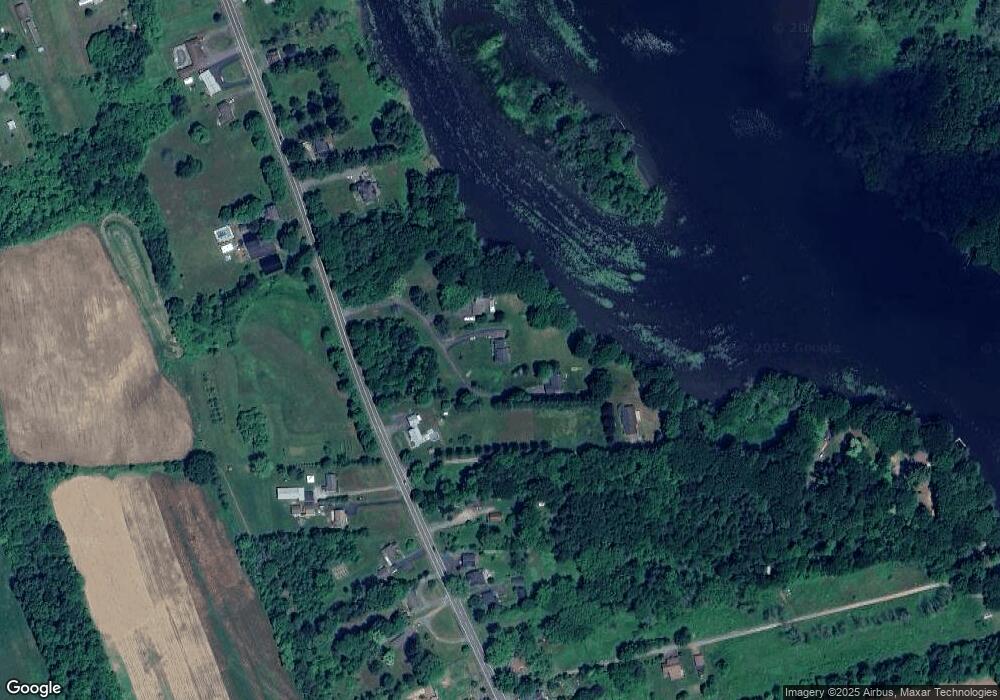
Map
Nearby Homes
- 1788 State Route 48
- 1776 State Route 48
- 1772 State Route 48
- 25 Pathfinder Point Rd
- 1760 State Route 48 Unit 1764
- 1760 State Route 48
- 1800 State Route 48
- 1756 State Route 48
- 1761 State Route 48
- 1769 State Route 48
- 1765 State Route 48
- 1752 New York 48
- 1752 State Route 48
- 1806 State Route 48
- 1801 State Route 48
- 1755 State Route 48
- 1744 State Route 48
- 1751 State Route 48
- 1801 New York 48
- 1813 State Route 48