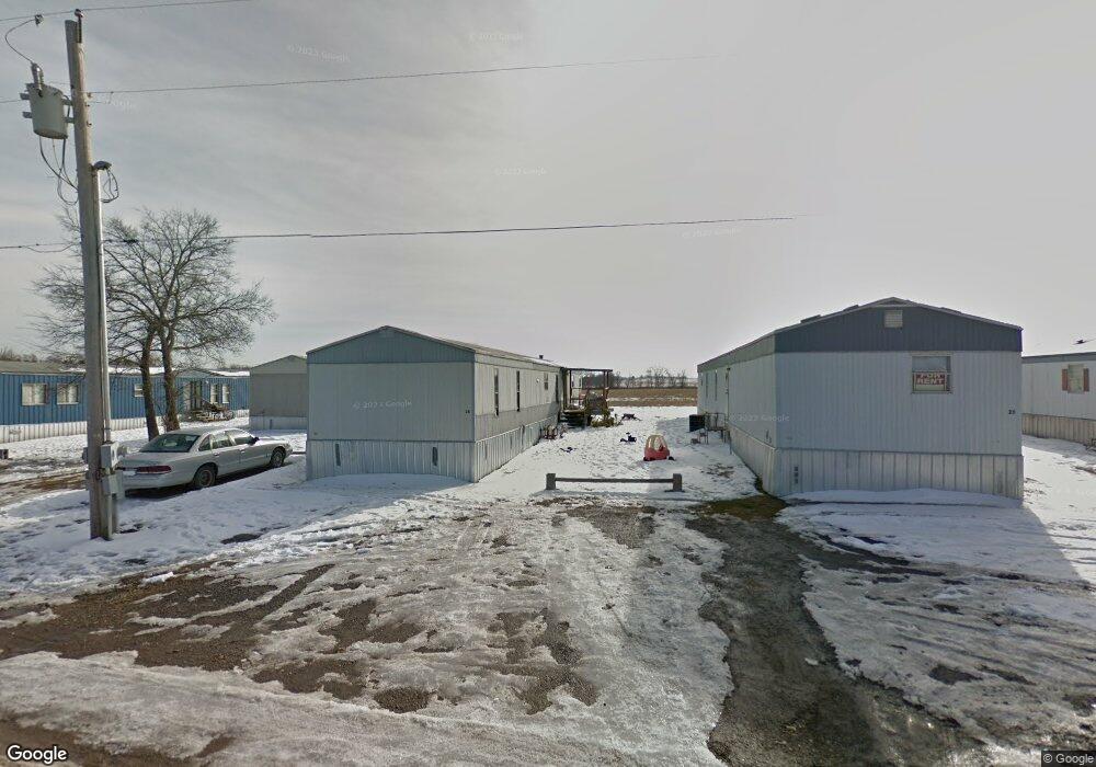
17822 S Bryant Rd Tahlequah, OK 74464
Estimated Value: $282,000 - $759,170
4
Beds
2
Baths
1,280
Sq Ft
$433/Sq Ft
Est. Value
About This Home
This home is located at 17822 S Bryant Rd, Tahlequah, OK 74464 and is currently estimated at $554,390, approximately $433 per square foot. 17822 S Bryant Rd is a home located in Cherokee County with nearby schools including Greenwood Elementary School, Cherokee Elementary School, and Tahlequah Middle School.
Ownership History
Date
Name
Owned For
Owner Type
Purchase Details
Closed on
Feb 28, 2013
Sold by
Arnold James D and Arnold Lori
Bought by
Mcalpine Bobby and Mcalpine Janet
Current Estimated Value
Home Financials for this Owner
Home Financials are based on the most recent Mortgage that was taken out on this home.
Original Mortgage
$607,204
Outstanding Balance
$121,014
Interest Rate
3.57%
Mortgage Type
Future Advance Clause Open End Mortgage
Estimated Equity
$433,376
Purchase Details
Closed on
Oct 21, 2002
Sold by
Frank and Carolyn Greenhaw
Bought by
James and Lori Arnold
Create a Home Valuation Report for This Property
The Home Valuation Report is an in-depth analysis detailing your home's value as well as a comparison with similar homes in the area
Home Values in the Area
Average Home Value in this Area
Purchase History
| Date | Buyer | Sale Price | Title Company |
|---|---|---|---|
| Mcalpine Bobby | $745,000 | None Available | |
| James | $420,000 | -- |
Source: Public Records
Mortgage History
| Date | Status | Borrower | Loan Amount |
|---|---|---|---|
| Open | Mcalpine Bobby | $607,204 |
Source: Public Records
Tax History Compared to Growth
Tax History
| Year | Tax Paid | Tax Assessment Tax Assessment Total Assessment is a certain percentage of the fair market value that is determined by local assessors to be the total taxable value of land and additions on the property. | Land | Improvement |
|---|---|---|---|---|
| 2025 | $5,136 | $56,913 | $11,223 | $45,690 |
| 2024 | $5,136 | $54,203 | $11,223 | $42,980 |
| 2023 | $5,136 | $51,622 | $27,377 | $24,245 |
| 2022 | $4,561 | $49,164 | $25,819 | $23,345 |
| 2021 | $4,360 | $46,823 | $24,335 | $22,488 |
| 2020 | $4,227 | $44,593 | $22,922 | $21,671 |
| 2019 | $3,990 | $42,470 | $21,576 | $20,894 |
| 2018 | $3,845 | $40,447 | $20,294 | $20,153 |
| 2017 | $3,655 | $38,522 | $19,074 | $19,448 |
| 2016 | $3,503 | $36,687 | $17,911 | $18,776 |
| 2015 | $3,289 | $34,940 | $11,223 | $23,717 |
| 2014 | $3,289 | $34,940 | $11,223 | $23,717 |
Source: Public Records
Map
Nearby Homes
- 17283 N Bryant Rd
- TBD W Fox St
- Tbd Unit West Fox Street Tahl
- 1998 W Allen Rd
- 1025 W Fox St
- 16509 N Bryant Rd
- 813 W Choctaw St
- 807 W Choctaw St
- 104 S West Ave
- 0 W Choctaw St
- 516 W Fox St
- 1104 Chase Ave
- 610 W Delaware St
- 515 W Delaware St
- 902 S Mission Ave
- 780 W Southlake Dr
- 513 S State Ave
- 509 W 2nd St
- 702 N Jones Ave
- 510 S Cherokee Ave
- 2245 W Choctaw St
- 2301 W Choctaw St
- 2175 W Choctaw St
- 2189 W Choctaw St
- 18011 S Bryant Rd
- 2161 W Choctaw St
- 0 W Hwy 51 W Unit 1535988
- 0 W Hwy 51 W Unit 1600851
- 0 W Hwy 51 W Unit 1624821
- 0 W Hwy 51 W Unit 1702128
- 0 W Hwy 51 W Unit 1727691
- 0 W Hwy 51 W Unit 1802246
- 0 W Hwy 51 W Unit 1831506
- 0 W Hwy 51 W Unit 1906329
- 18037 S Bryant Rd
- 15909 Highway 51
- 1640 W Keetoowah St
- 15920 Highway 51
- 18061 S Phoenix Ave
- 18268 S Bryant Rd