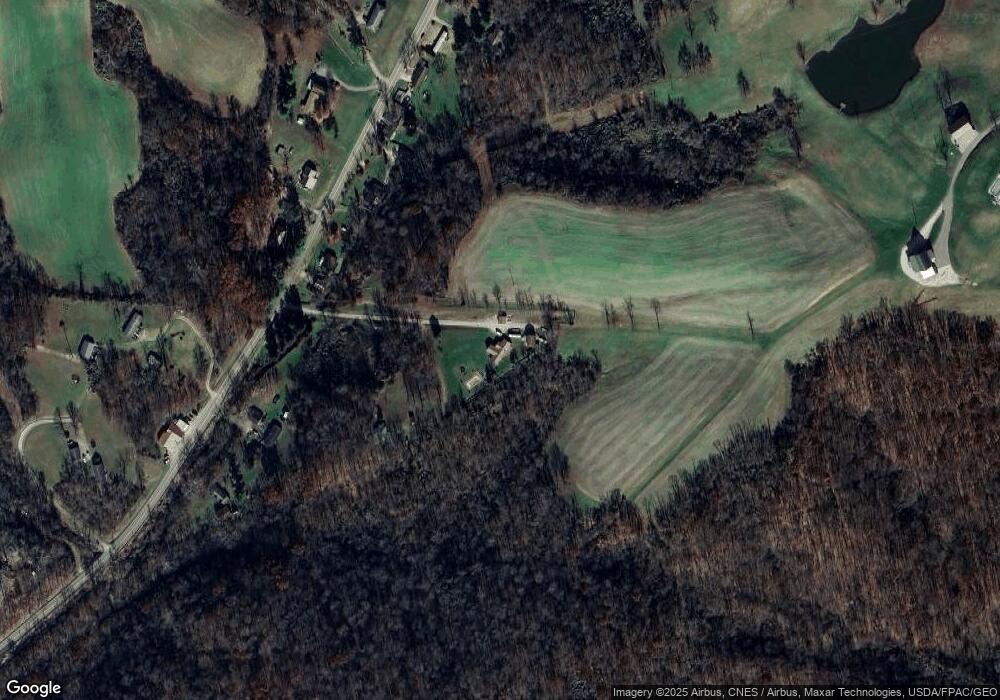
17824 State Route 550 Marietta, OH 45750
Estimated Value: $244,000 - $306,000
3
Beds
3
Baths
1,996
Sq Ft
$140/Sq Ft
Est. Value
About This Home
This home is located at 17824 State Route 550, Marietta, OH 45750 and is currently estimated at $279,986, approximately $140 per square foot. 17824 State Route 550 is a home located in Washington County with nearby schools including Warren High School.
Ownership History
Date
Name
Owned For
Owner Type
Purchase Details
Closed on
Sep 7, 2011
Sold by
Beaver Lucinda A
Bought by
Beaver Jeffrey C
Current Estimated Value
Purchase Details
Closed on
Jan 8, 2002
Bought by
Beaver Jeffrey C and Beaver Lucin
Purchase Details
Closed on
Sep 20, 2001
Bought by
Beneficial Ohio Inc Dba
Purchase Details
Closed on
Oct 29, 1996
Bought by
Burke Henry R and Burke Kimberly
Purchase Details
Closed on
May 18, 1993
Bought by
Burke Henry R
Create a Home Valuation Report for This Property
The Home Valuation Report is an in-depth analysis detailing your home's value as well as a comparison with similar homes in the area
Home Values in the Area
Average Home Value in this Area
Purchase History
| Date | Buyer | Sale Price | Title Company |
|---|---|---|---|
| Beaver Jeffrey C | -- | None Available | |
| Beaver Jeffrey C | $21,000 | -- | |
| Beneficial Ohio Inc Dba | $26,000 | -- | |
| Burke Henry R | -- | -- | |
| Burke Henry R | $31,000 | -- |
Source: Public Records
Tax History Compared to Growth
Tax History
| Year | Tax Paid | Tax Assessment Tax Assessment Total Assessment is a certain percentage of the fair market value that is determined by local assessors to be the total taxable value of land and additions on the property. | Land | Improvement |
|---|---|---|---|---|
| 2024 | $2,656 | $69,650 | $19,980 | $49,670 |
| 2023 | $2,656 | $69,650 | $19,980 | $49,670 |
| 2022 | $2,661 | $69,650 | $19,980 | $49,670 |
| 2021 | $2,809 | $69,870 | $12,680 | $57,190 |
| 2020 | $2,806 | $69,870 | $12,680 | $57,190 |
| 2019 | $2,767 | $69,870 | $12,680 | $57,190 |
| 2018 | $2,579 | $63,150 | $11,030 | $52,120 |
| 2017 | $2,565 | $63,150 | $11,030 | $52,120 |
| 2016 | $3,105 | $61,000 | $11,030 | $49,970 |
| 2015 | $1,847 | $50,390 | $6,430 | $43,960 |
| 2014 | $2,132 | $41,420 | $6,430 | $34,990 |
| 2013 | $758 | $41,420 | $6,430 | $34,990 |
Source: Public Records
Map
Nearby Homes
- 65 High Point Dr
- 375 Belavista Dr
- 20645 Ohio 676
- 0 River Rd Unit Lot WP001
- 254 Riggenbach Hill Rd
- 505 Harbor Point
- 100 Pineview Dr
- 116 Pineview Dr
- 188 Greenbrier Ave
- 0 Orange Dr
- 204 Coventry Rd
- 305 Flintwood Dr
- 9 Henderson Ln
- 565 Lang Farm Rd
- 53 Central Dr
- 146 Riverview Dr
- 203 57th St
- 101 Laramie Rd
- 64 Alexander Dr
- 411 58th St
- 17816 State Route 550
- 17830 State Route 550
- 17790 State Route 550
- 17855 State Route 550
- 17920 Ohio 550
- 17734 State Route 550
- 17920 State Route 550
- 17867 State Route 550
- 17964 Ohio 550
- 17941 State Route 550
- 17740 State Route 550
- 17990 State Route 550
- 17949 State Route 550
- 17749 State Route 550
- 17741 State Route 550
- 18033 State Route 550
- 18097 State Route 550
- 18077 State Route 550
- 2765 Bender Rd
- 17645 State Route 550
