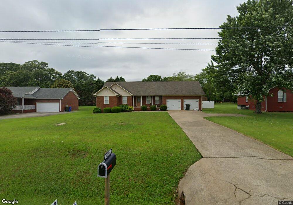
17825 Brownsferry Rd Athens, AL 35611
Estimated Value: $224,000 - $268,000
--
Bed
--
Bath
1,300
Sq Ft
$187/Sq Ft
Est. Value
About This Home
This home is located at 17825 Brownsferry Rd, Athens, AL 35611 and is currently estimated at $243,667, approximately $187 per square foot. 17825 Brownsferry Rd is a home with nearby schools including Athens Intermediate School, Athens High School, and Lindsay Lane Christian Academy.
Ownership History
Date
Name
Owned For
Owner Type
Purchase Details
Closed on
Aug 28, 2007
Sold by
Mcdonald Vada Mitchell
Bought by
Cooper Richard Lee
Current Estimated Value
Home Financials for this Owner
Home Financials are based on the most recent Mortgage that was taken out on this home.
Original Mortgage
$1,199,000
Outstanding Balance
$761,068
Interest Rate
6.62%
Mortgage Type
Purchase Money Mortgage
Estimated Equity
-$517,401
Create a Home Valuation Report for This Property
The Home Valuation Report is an in-depth analysis detailing your home's value as well as a comparison with similar homes in the area
Home Values in the Area
Average Home Value in this Area
Purchase History
| Date | Buyer | Sale Price | Title Company |
|---|---|---|---|
| Cooper Richard Lee | $119,900 | -- |
Source: Public Records
Mortgage History
| Date | Status | Borrower | Loan Amount |
|---|---|---|---|
| Open | Cooper Richard Lee | $1,199,000 |
Source: Public Records
Tax History Compared to Growth
Tax History
| Year | Tax Paid | Tax Assessment Tax Assessment Total Assessment is a certain percentage of the fair market value that is determined by local assessors to be the total taxable value of land and additions on the property. | Land | Improvement |
|---|---|---|---|---|
| 2024 | $598 | $17,440 | $0 | $0 |
| 2023 | $645 | $16,500 | $0 | $0 |
| 2022 | $540 | $14,820 | $0 | $0 |
| 2021 | $445 | $12,440 | $0 | $0 |
| 2020 | $431 | $12,100 | $0 | $0 |
| 2019 | $448 | $12,520 | $0 | $0 |
| 2018 | $433 | $12,140 | $0 | $0 |
| 2017 | $428 | $12,020 | $0 | $0 |
| 2016 | $428 | $9,900 | $0 | $0 |
| 2015 | $428 | $12,020 | $0 | $0 |
| 2014 | $419 | $0 | $0 | $0 |
Source: Public Records
Map
Nearby Homes
- 15168 Kings Dr
- 17688 Brownsferry Rd
- 17501 Martin Dr
- 17759 Tipper Ln
- 17714 Emma Jo Ln
- 17781 Tipper Ln
- 17738 Emma Jo Ln
- 17793 Tipper Ln
- 17805 Tipper Ln
- 17819 Tipper Ln
- 17768 Emma Jo Ln
- 15350 Coco Reid Ln
- 15340 Coco Reid Ln
- 17309 Ferry Rd
- 17812 Emma Jo Ln
- 17620 Owens St
- 17294 Hubert St
- 17256 Ferry Rd
- 15717 Arlington Rd
- 15348 Lucas Ferry Rd
- 17803 Brownsferry Rd
- 17845 Brownsferry Rd
- 17779 Brownsferry Rd
- 15089 Kings Dr
- 15212 Clodessa Dr
- 15244 Clodessa Dr
- 15276 Clodessa Dr
- 15178 Clodessa Dr
- 17755 Brownsferry Rd
- 15171 Kings Dr
- 15090 Kings Dr
- 15122 Kings Dr
- 15275 Clodessa Dr
- 15209 Clodessa Dr
- 15160 Clodessa Dr
- 15221 Kings Dr
- 17931 Brownsferry Rd
- 15220 Kings Dr
- 15384 Clodessa Dr
- 15269 Kings Dr