1783 Cook Rd Moultrie, GA 31788
Estimated Value: $198,000 - $273,152
--
Bed
1
Bath
990
Sq Ft
$227/Sq Ft
Est. Value
About This Home
This home is located at 1783 Cook Rd, Moultrie, GA 31788 and is currently estimated at $224,288, approximately $226 per square foot. 1783 Cook Rd is a home located in Colquitt County with nearby schools including Odom Elementary School, Willie J. Williams Middle School, and C.A. Gray Junior High School.
Ownership History
Date
Name
Owned For
Owner Type
Purchase Details
Closed on
Jan 16, 2023
Sold by
Wilson Jack R
Bought by
Wilson Jack R and Wilson Patricia S
Current Estimated Value
Purchase Details
Closed on
May 27, 2022
Sold by
Wilson Jack R
Bought by
Wilson Jack R and Wilson Tammy P
Purchase Details
Closed on
Jun 5, 1999
Bought by
Wilson Jack R
Purchase Details
Closed on
Jun 3, 1999
Bought by
Wilson Jack R
Purchase Details
Closed on
Oct 15, 1996
Bought by
Wilson Jack R
Create a Home Valuation Report for This Property
The Home Valuation Report is an in-depth analysis detailing your home's value as well as a comparison with similar homes in the area
Home Values in the Area
Average Home Value in this Area
Purchase History
| Date | Buyer | Sale Price | Title Company |
|---|---|---|---|
| Wilson Jack R | -- | -- | |
| Wilson Jack R | -- | -- | |
| Wilson Jack R | -- | -- | |
| Wilson Jack R | -- | -- | |
| Wilson Jack R | $5,600 | -- |
Source: Public Records
Tax History Compared to Growth
Tax History
| Year | Tax Paid | Tax Assessment Tax Assessment Total Assessment is a certain percentage of the fair market value that is determined by local assessors to be the total taxable value of land and additions on the property. | Land | Improvement |
|---|---|---|---|---|
| 2024 | $876 | $72,447 | $46,203 | $26,244 |
| 2023 | $901 | $70,464 | $51,337 | $19,127 |
| 2022 | $888 | $73,966 | $55,199 | $18,767 |
| 2021 | $905 | $66,399 | $47,222 | $19,177 |
| 2020 | $899 | $65,787 | $47,222 | $18,565 |
| 2019 | $1,019 | $67,088 | $47,222 | $19,866 |
| 2018 | $1,716 | $67,088 | $47,222 | $19,866 |
| 2017 | $927 | $61,128 | $40,851 | $20,277 |
| 2016 | $929 | $61,128 | $40,851 | $20,277 |
| 2015 | $927 | $61,128 | $40,851 | $20,277 |
| 2014 | $899 | $61,128 | $40,851 | $20,277 |
| 2013 | -- | $61,128 | $40,851 | $20,276 |
Source: Public Records
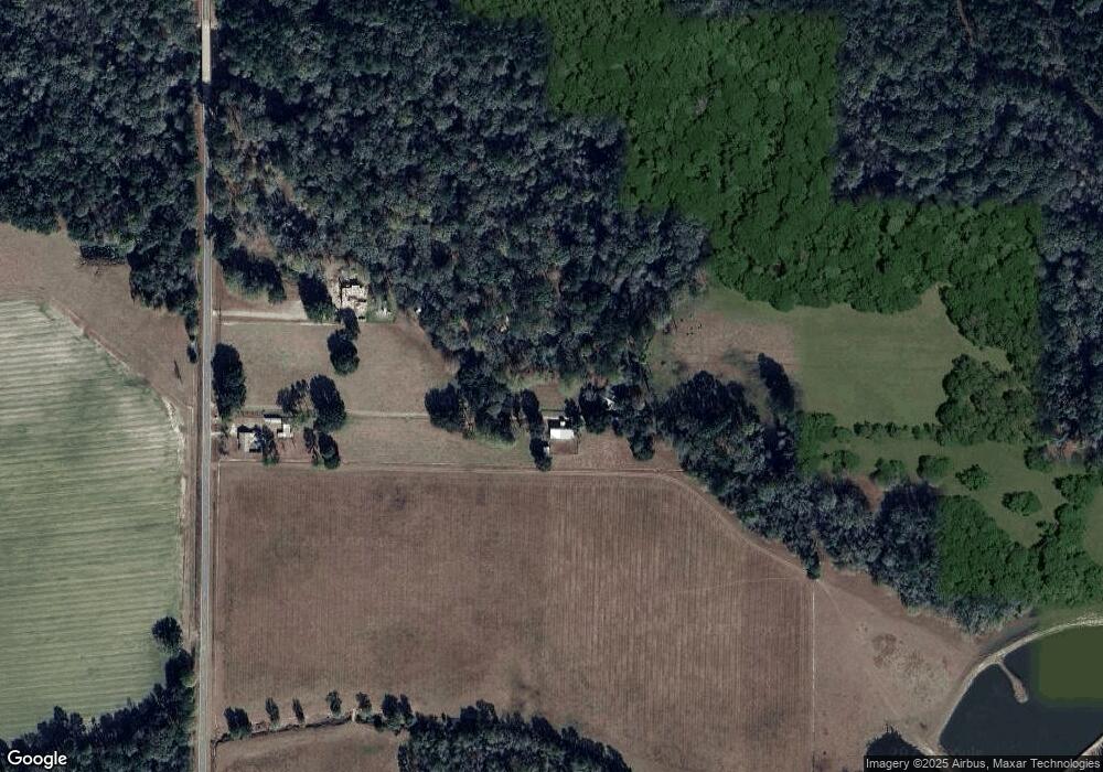
Map
Nearby Homes
- 0 Upper Trail Unit 913421
- 0 Upper Trail Unit 913422
- 182 Horseshoe Dr
- 313 Langford St
- 5808 Georgia 133
- 410 Railroad St
- 0 Southerland Ave
- 2262 Sardis Church Rd
- 277 Indian Creek Subdivision
- 124 Flint Dr
- 1114 Cannon Rd
- 0 Sardis Church Rd
- 9283 Tallokas Rd Unit 54/13
- 9283 Tallokas Rd
- 48 Packer Pride Dr SE
- 65 Packer Pride Dr SE
- 16 Francine Way SE
- 132 Tallokas Trail
- 85 Cobblestone Blvd SE
- 31 31st Ave SE