1783 Edwards Dr Point Roberts, WA 98281
Estimated Value: $1,138,000 - $1,254,940
3
Beds
3
Baths
2,816
Sq Ft
$432/Sq Ft
Est. Value
About This Home
This home is located at 1783 Edwards Dr, Point Roberts, WA 98281 and is currently estimated at $1,217,235, approximately $432 per square foot. 1783 Edwards Dr is a home located in Whatcom County with nearby schools including Point Roberts Primary School, Blaine Middle School, and Blaine High School.
Ownership History
Date
Name
Owned For
Owner Type
Purchase Details
Closed on
Jul 12, 2024
Sold by
White Ruby G
Bought by
Roy Craig and Rock Kristen
Current Estimated Value
Home Financials for this Owner
Home Financials are based on the most recent Mortgage that was taken out on this home.
Original Mortgage
$300,000
Interest Rate
7.03%
Mortgage Type
Construction
Create a Home Valuation Report for This Property
The Home Valuation Report is an in-depth analysis detailing your home's value as well as a comparison with similar homes in the area
Home Values in the Area
Average Home Value in this Area
Purchase History
| Date | Buyer | Sale Price | Title Company |
|---|---|---|---|
| Roy Craig | $1,266,000 | Whatcom Land Title |
Source: Public Records
Mortgage History
| Date | Status | Borrower | Loan Amount |
|---|---|---|---|
| Closed | Roy Craig | $300,000 |
Source: Public Records
Tax History Compared to Growth
Tax History
| Year | Tax Paid | Tax Assessment Tax Assessment Total Assessment is a certain percentage of the fair market value that is determined by local assessors to be the total taxable value of land and additions on the property. | Land | Improvement |
|---|---|---|---|---|
| 2024 | $9,431 | $1,290,392 | $895,065 | $395,327 |
| 2023 | $9,431 | $1,209,022 | $813,695 | $395,327 |
| 2022 | $2,744 | $1,104,129 | $743,100 | $195,280 |
| 2021 | $2,954 | $1,015,006 | $662,915 | $195,280 |
| 2020 | $1,361 | $939,806 | $613,801 | $326,005 |
| 2019 | $1,421 | $901,485 | $588,773 | $312,712 |
| 2018 | $1,279 | $810,426 | $529,301 | $281,125 |
| 2017 | $1,297 | $774,003 | $505,512 | $268,491 |
| 2016 | $1,272 | $758,826 | $495,600 | $263,226 |
| 2015 | $1,304 | $832,608 | $558,503 | $274,105 |
| 2014 | -- | $870,434 | $583,881 | $286,553 |
| 2013 | -- | $834,207 | $560,757 | $273,450 |
Source: Public Records
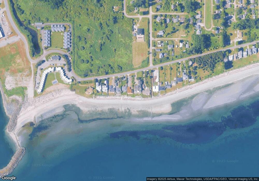
Map
Nearby Homes
- 1920 Patos Way
- 1881 Edwards Dr
- 1927 Orcas View Way
- 698 Kendor Dr
- Lot 3 Edwards Dr
- 661 Driftwood Ln
- 634 S Beach Rd
- 1934 Waters Rd
- 19 Harbor Seal Dr
- 1587 Harbor Seal Dr
- 1911 Apa Rd
- 675 Sylvia Dr
- 1561 Edwards Dr
- 1940 Apa Rd
- 2045 Apa Rd
- 1477 Edwards Dr
- 1976 Cedar Park Dr
- 0 6 39 Acres South Beach Rd
- lot 14 Cedar Park Dr Unit 14
- 1561 Ocean View Ln
- 1777 Edwards Dr
- 1793 Edwards Dr
- 1775 Edwards Dr
- 1769 Edwards Dr
- 1795 Edwards Dr
- 1767 Edwards Dr
- 1801 Edwards Dr
- 1765 Edwards Dr
- 1815 Edwards Dr
- 1755 Edwards Dr
- 2 Edwards Dr
- 1821 Edwards Dr
- 1825 Edwards Dr
- 736 Largaud Dr
- 1831 Edwards Dr
- 1758 Edwards Dr
- 1917 Matia Way
- 1835 Edwards Dr
- 1 Edwards Dr
- 1785 Meadow Ave