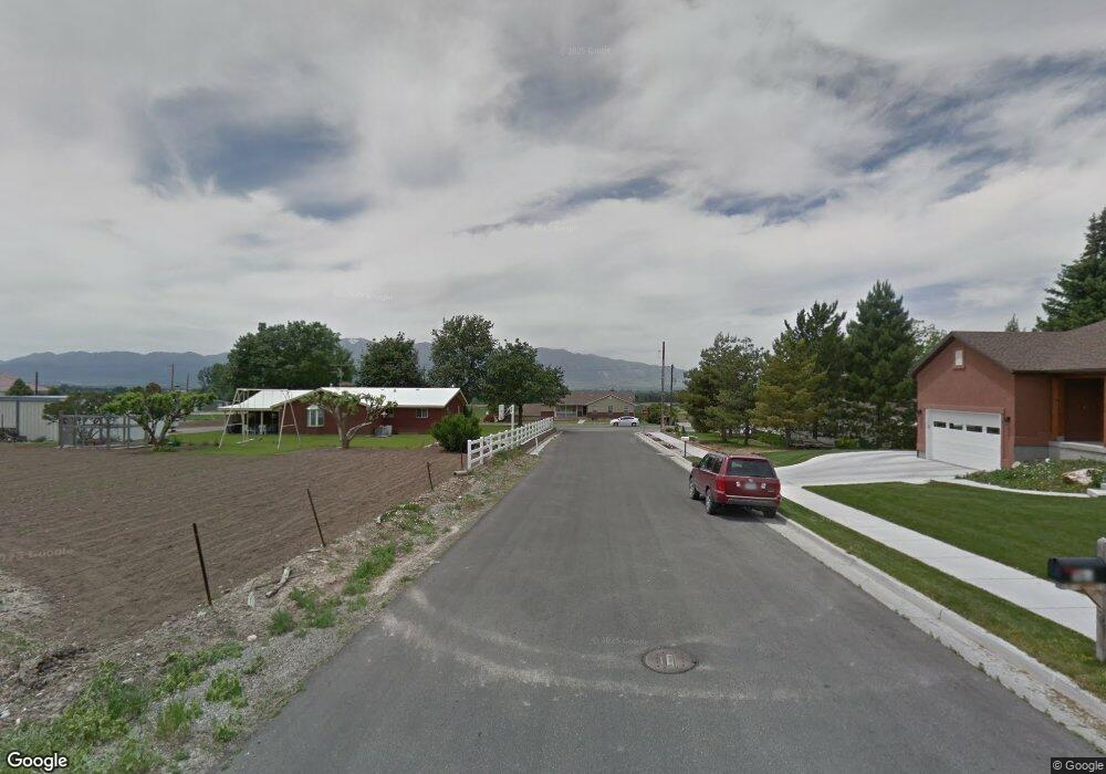
1783 W 620 S Logan, UT 84321
Woodruff NeighborhoodEstimated Value: $400,000 - $442,000
3
Beds
2
Baths
1,413
Sq Ft
$296/Sq Ft
Est. Value
About This Home
This home is located at 1783 W 620 S, Logan, UT 84321 and is currently estimated at $417,857, approximately $295 per square foot. 1783 W 620 S is a home located in Cache County with nearby schools including Woodruff School, Mount Logan Middle School, and Logan High School.
Ownership History
Date
Name
Owned For
Owner Type
Purchase Details
Closed on
Jun 23, 2016
Sold by
Dunsey Jeffrey Scott
Bought by
Milke Arnold F and Milker Suzanne V
Current Estimated Value
Home Financials for this Owner
Home Financials are based on the most recent Mortgage that was taken out on this home.
Original Mortgage
$123,100
Outstanding Balance
$97,932
Interest Rate
3.64%
Mortgage Type
New Conventional
Estimated Equity
$319,925
Purchase Details
Closed on
Oct 12, 2011
Sold by
Logan River Trails Llc
Bought by
Dunsey Jeffrey Scott
Home Financials for this Owner
Home Financials are based on the most recent Mortgage that was taken out on this home.
Original Mortgage
$143,273
Interest Rate
3.99%
Mortgage Type
FHA
Create a Home Valuation Report for This Property
The Home Valuation Report is an in-depth analysis detailing your home's value as well as a comparison with similar homes in the area
Home Values in the Area
Average Home Value in this Area
Purchase History
| Date | Buyer | Sale Price | Title Company |
|---|---|---|---|
| Milke Arnold F | -- | Northern Title Company | |
| Dunsey Jeffrey Scott | -- | Northern Title Company |
Source: Public Records
Mortgage History
| Date | Status | Borrower | Loan Amount |
|---|---|---|---|
| Open | Milke Arnold F | $123,100 | |
| Previous Owner | Dunsey Jeffrey Scott | $143,273 |
Source: Public Records
Tax History
| Year | Tax Paid | Tax Assessment Tax Assessment Total Assessment is a certain percentage of the fair market value that is determined by local assessors to be the total taxable value of land and additions on the property. | Land | Improvement |
|---|---|---|---|---|
| 2025 | $1,627 | $232,670 | $0 | $0 |
| 2024 | $1,756 | $232,990 | $0 | $0 |
| 2023 | $1,844 | $230,065 | $0 | $0 |
| 2022 | $1,656 | $196,790 | $0 | $0 |
| 2021 | $1,315 | $240,007 | $38,500 | $201,507 |
| 2020 | $1,253 | $213,724 | $38,500 | $175,224 |
| 2019 | $1,347 | $213,724 | $38,500 | $175,224 |
| 2018 | $1,279 | $194,950 | $38,500 | $156,450 |
| 2017 | $1,262 | $100,650 | $0 | $0 |
| 2016 | $1,288 | $80,720 | $0 | $0 |
| 2015 | $1,026 | $80,720 | $0 | $0 |
| 2014 | $998 | $80,720 | $0 | $0 |
| 2013 | -- | $80,720 | $0 | $0 |
Source: Public Records
Map
Nearby Homes
- 1772 W Rivergate Dr
- 1788 W Rivergate Dr
- 679 Trail Cir
- Redwood Plan at Rivergate - Logan
- Madison Plan at Rivergate - Logan
- Sitka Plan at Sugar Creek - Logan (Townhomes)
- Hawthorne Plan at Rivergate - Logan
- Springhill Plan at Rivergate - Logan
- Auburn Plan at Rivergate - Logan
- Hilldale Plan at Rivergate - Logan
- 539 S 1580 W Unit 121
- 552 S W Rivergate Dr
- 552 Rivergate Dr
- 524 S W Rivergate Dr
- 1615 W Silver Canoe Way
- 2157 S 1580 W
- 1609 W Silver Canoe Way
- 1506 Silver Canoe Loop
- 1603 W Silver Canoe Way
- 1585 W Silver Canoe Way
- 1789 W 620 S
- 1775 W 620 S
- 1761 W 620 S
- 1795 Meadowview Ct
- 1795 W 620 S
- 1780 Meadowview Ct
- 1749 W 620 S
- 624 Trail Cir
- 1770 Meadow View Ct
- 1727 W 620 S
- 636 Trail Cir
- 1723 W 620 S
- 609 Trail Cir Unit 39
- 615 Trail Cir Unit 40
- 648 Trail Cir
- 1750 Meadowview Ct
- 621 Trail Cir Unit 41
- 1720 W 620 S
- 1730 W 620 S Unit 32
- 652 Trail Cir
Your Personal Tour Guide
Ask me questions while you tour the home.