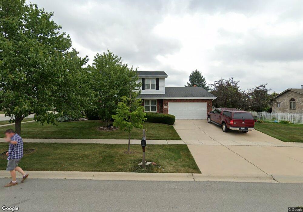
17831 Elmwood Dr Tinley Park, IL 60487
Central Tinley Park NeighborhoodEstimated Value: $443,000 - $463,000
4
Beds
3
Baths
2,250
Sq Ft
$200/Sq Ft
Est. Value
About This Home
This home is located at 17831 Elmwood Dr, Tinley Park, IL 60487 and is currently estimated at $450,829, approximately $200 per square foot. 17831 Elmwood Dr is a home located in Cook County with nearby schools including Christa Mcauliffe School, Prairie View Middle School, and Victor J Andrew High School.
Ownership History
Date
Name
Owned For
Owner Type
Purchase Details
Closed on
Jun 23, 2020
Sold by
Coleman Sandra K and Coleman Joseph S
Bought by
Coleman Sandra K and Coleman Sandra K
Current Estimated Value
Purchase Details
Closed on
Jul 13, 2010
Sold by
Coleman Joseph S and Coleman Sandra K
Bought by
Coleman Joseph S and Coleman Sandra K
Purchase Details
Closed on
Jan 4, 2003
Sold by
Coleman Joseph S and Foran Coleman Sandra K
Bought by
Joseph S & Sandra K Coleman Revocable Tr
Create a Home Valuation Report for This Property
The Home Valuation Report is an in-depth analysis detailing your home's value as well as a comparison with similar homes in the area
Home Values in the Area
Average Home Value in this Area
Purchase History
| Date | Buyer | Sale Price | Title Company |
|---|---|---|---|
| Coleman Sandra K | -- | None Available | |
| Coleman Joseph S | -- | None Available | |
| Joseph S & Sandra K Coleman Revocable Tr | -- | -- |
Source: Public Records
Tax History Compared to Growth
Tax History
| Year | Tax Paid | Tax Assessment Tax Assessment Total Assessment is a certain percentage of the fair market value that is determined by local assessors to be the total taxable value of land and additions on the property. | Land | Improvement |
|---|---|---|---|---|
| 2024 | $8,451 | $34,515 | $5,760 | $28,755 |
| 2023 | $7,559 | $39,000 | $5,760 | $33,240 |
| 2022 | $7,559 | $27,361 | $5,040 | $22,321 |
| 2021 | $7,372 | $27,360 | $5,040 | $22,320 |
| 2020 | $7,318 | $27,360 | $5,040 | $22,320 |
| 2019 | $7,292 | $28,658 | $4,560 | $24,098 |
| 2018 | $7,133 | $28,658 | $4,560 | $24,098 |
| 2017 | $6,976 | $28,658 | $4,560 | $24,098 |
| 2016 | $8,352 | $29,429 | $4,080 | $25,349 |
| 2015 | $8,192 | $29,429 | $4,080 | $25,349 |
| 2014 | $8,152 | $29,429 | $4,080 | $25,349 |
| 2013 | $6,055 | $24,555 | $4,080 | $20,475 |
Source: Public Records
Map
Nearby Homes
- 17964 Upland Dr
- 17533 Pecan Ln
- 18055 Upland Dr
- 9280 Windsor Pkwy Unit 92
- 9260 Windsor Pkwy Unit 80
- 9201 175th St
- 9038 Mansfield Dr Unit 8
- 18248 Murphy Cir Unit 182
- 17631 Dover Ct
- 9051 Mansfield Dr Unit 1
- 17535 S La Grange Rd
- 17535-2 Lagrange Rd
- Fremont Plan at Radcliffe Place
- Calysta Plan at Radcliffe Place
- Danbury Plan at Radcliffe Place
- Briarcliffe Plan at Radcliffe Place
- Eden Plan at Radcliffe Place
- Amberwood Plan at Radcliffe Place
- 17500 Lagrange Rd
- 17230 Shetland Dr
- 9055 Linden Dr
- 17843 Elmwood Dr
- 9049 Linden Dr
- 17830 Elmwood Dr
- 17836 Elmwood Dr
- 17849 Elmwood Dr
- 9060 Linden Dr
- 9046 Linden Dr
- 17824 Elmwood Dr
- 17842 Elmwood Dr
- 9054 Linden Dr
- 17818 Elmwood Dr Unit 17712
- 17848 Elmwood Dr
- 17855 Elmwood Dr
- 9048 Poplar St
- 9043 Linden Dr
- 17807 Elmwood Dr
- 17812 Elmwood Dr
- 17829 92nd Ave
- 17823 92nd Ave