1784 H Rd West Point, NE 68788
Estimated Value: $204,000 - $333,000
3
Beds
4
Baths
1,497
Sq Ft
$177/Sq Ft
Est. Value
About This Home
This home is located at 1784 H Rd, West Point, NE 68788 and is currently estimated at $265,643, approximately $177 per square foot. 1784 H Rd is a home located in Cuming County with nearby schools including West Point-Beemer Junior/Senior High School, Guardian Angels Elementary School, and St. Paul Lutheran School.
Ownership History
Date
Name
Owned For
Owner Type
Purchase Details
Closed on
Mar 20, 2008
Sold by
High Point Lands Llc
Bought by
Reppert Chad L
Current Estimated Value
Purchase Details
Closed on
Oct 6, 2006
Sold by
Reppert Chad L and Bunn Jared J
Bought by
Bunn Jared J
Home Financials for this Owner
Home Financials are based on the most recent Mortgage that was taken out on this home.
Original Mortgage
$93,500
Interest Rate
6.44%
Mortgage Type
Future Advance Clause Open End Mortgage
Create a Home Valuation Report for This Property
The Home Valuation Report is an in-depth analysis detailing your home's value as well as a comparison with similar homes in the area
Home Values in the Area
Average Home Value in this Area
Purchase History
| Date | Buyer | Sale Price | Title Company |
|---|---|---|---|
| Reppert Chad L | $10,000 | -- | |
| Bunn Jared J | $94,000 | -- |
Source: Public Records
Mortgage History
| Date | Status | Borrower | Loan Amount |
|---|---|---|---|
| Previous Owner | Bunn Jared J | $93,500 | |
| Closed | Reppert Chad L | $0 |
Source: Public Records
Tax History Compared to Growth
Tax History
| Year | Tax Paid | Tax Assessment Tax Assessment Total Assessment is a certain percentage of the fair market value that is determined by local assessors to be the total taxable value of land and additions on the property. | Land | Improvement |
|---|---|---|---|---|
| 2025 | $902 | $173,100 | $96,880 | $76,220 |
| 2024 | $902 | $149,270 | $88,755 | $60,515 |
| 2023 | $1,253 | $138,755 | $79,680 | $59,075 |
| 2022 | $1,466 | $146,440 | $62,795 | $83,645 |
| 2021 | $1,405 | $137,720 | $63,890 | $73,830 |
| 2020 | $1,371 | $136,030 | $66,530 | $69,500 |
| 2019 | $1,389 | $134,735 | $70,270 | $64,465 |
| 2018 | $1,303 | $126,105 | $61,455 | $64,650 |
| 2017 | $1,303 | $122,095 | $61,455 | $60,640 |
| 2016 | $1,337 | $118,685 | $60,360 | $58,325 |
| 2015 | $1,630 | $132,010 | $73,685 | $58,325 |
| 2014 | $1,303 | $122,095 | $73,685 | $48,410 |
| 2013 | $1,303 | $91,755 | $43,515 | $48,240 |
Source: Public Records
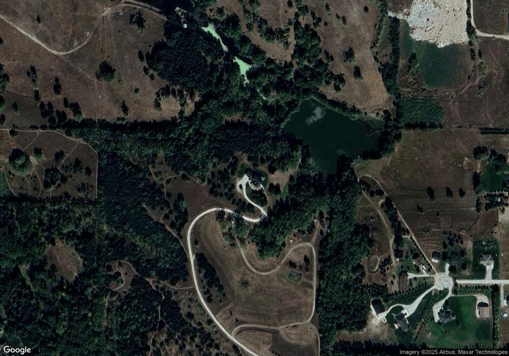
Map
Nearby Homes
- 126 E Grove St
- 1045 E Grove St
- 749 E Grove St
- 1402 E Bridge St
- 1207 N Main St
- 208 N Lincoln St
- 420 S Farragut St
- 101 S Main St
- 519 S Niphon St
- 626 S Monitor St
- 205 E Sheridan St
- 301 W Pine St
- 402 W Pine St
- 2235 K Rd
- 2416 F Rd
- 1225 Co Road 1
- TBD Oakland
- 328 N Oakland Ave
- 206 N Thomas Ave
- 108 N Thomas Ave
- 1784 H Rd
- 1201 Cottonwood Dr
- 1200 Cottonwood Dr
- 1205 Cottonwood Dr
- 1206 Cottonwood Dr
- 1108 E Washington St
- 1208 Cottonwood Dr
- 1221 Cottonwood Dr
- 821 18th Rd
- 833 18th Rd
- 1220 Cottonwood Dr
- 843 18th Rd
- 1110 E Washington St
- 1102 E Washington St
- 1112 E Washington St
- 1114 E Washington St
- 1212 E Washington St
- 952 Cornhusker Dr
- 0 18th Rd
- 1216 E Washington St