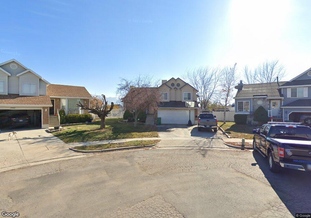
1784 N 225 W Layton, UT 84041
Estimated Value: $430,000 - $502,000
3
Beds
1
Bath
2,073
Sq Ft
$222/Sq Ft
Est. Value
About This Home
This home is located at 1784 N 225 W, Layton, UT 84041 and is currently estimated at $460,202, approximately $221 per square foot. 1784 N 225 W is a home located in Davis County with nearby schools including Lincoln Elementary School, North Layton Junior High School, and Northridge High School.
Ownership History
Date
Name
Owned For
Owner Type
Purchase Details
Closed on
Jun 26, 2001
Sold by
Gearhart Scott A
Bought by
Young Brian J
Current Estimated Value
Home Financials for this Owner
Home Financials are based on the most recent Mortgage that was taken out on this home.
Original Mortgage
$128,250
Outstanding Balance
$48,853
Interest Rate
7.14%
Estimated Equity
$411,349
Purchase Details
Closed on
Aug 30, 1999
Sold by
Price Gregory M
Bought by
Gearhart Scott A
Home Financials for this Owner
Home Financials are based on the most recent Mortgage that was taken out on this home.
Original Mortgage
$130,129
Interest Rate
7.56%
Mortgage Type
FHA
Purchase Details
Closed on
Mar 12, 1996
Sold by
Price Laura D and Davenport Laura
Bought by
Price Gregory M
Create a Home Valuation Report for This Property
The Home Valuation Report is an in-depth analysis detailing your home's value as well as a comparison with similar homes in the area
Home Values in the Area
Average Home Value in this Area
Purchase History
| Date | Buyer | Sale Price | Title Company |
|---|---|---|---|
| Young Brian J | -- | Associated Title Company | |
| Gearhart Scott A | -- | Mountain View Title & Escrow | |
| Price Gregory M | -- | First American Title Co |
Source: Public Records
Mortgage History
| Date | Status | Borrower | Loan Amount |
|---|---|---|---|
| Open | Young Brian J | $128,250 | |
| Previous Owner | Gearhart Scott A | $130,129 |
Source: Public Records
Tax History Compared to Growth
Tax History
| Year | Tax Paid | Tax Assessment Tax Assessment Total Assessment is a certain percentage of the fair market value that is determined by local assessors to be the total taxable value of land and additions on the property. | Land | Improvement |
|---|---|---|---|---|
| 2025 | $2,258 | $237,050 | $110,489 | $126,561 |
| 2024 | $2,029 | $214,500 | $128,536 | $85,964 |
| 2023 | $2,023 | $377,000 | $150,917 | $226,083 |
| 2022 | $2,049 | $207,350 | $80,356 | $126,994 |
| 2021 | $1,901 | $287,000 | $114,223 | $172,777 |
| 2020 | $1,719 | $249,000 | $95,475 | $153,525 |
| 2019 | $1,692 | $240,000 | $90,104 | $149,896 |
| 2018 | $1,517 | $216,000 | $90,104 | $125,896 |
| 2016 | $1,420 | $104,280 | $29,197 | $75,083 |
| 2015 | $1,356 | $94,545 | $29,197 | $65,348 |
| 2014 | $1,365 | $97,296 | $29,197 | $68,099 |
| 2013 | -- | $93,922 | $26,884 | $67,038 |
Source: Public Records
Map
Nearby Homes
- 1790 N 225 W
- 1781 N 225 W
- 1798 N 225 W
- 1785 N 225 W
- 1808 N 225 W
- 1793 N 225 W
- 1805 N 225 W
- 1791 N Belvedere Way
- 1797 N Belvedere Way
- 1787 N Belvedere Way
- 1818 N 225 W
- 1781 N Belvedere Way
- 1811 N 225 W
- 1758 N 250 W
- 1813 N Belvedere Way
- 1779 N Belvedere Way
- 1780 N 250 W
- 1828 N 225 W
- 1738 N 250 W
- 1821 N 225 W