1784 Phipps Creek Rd Burnsville, NC 28714
Estimated Value: $236,000 - $497,000
3
Beds
2
Baths
1,344
Sq Ft
$256/Sq Ft
Est. Value
About This Home
This home is located at 1784 Phipps Creek Rd, Burnsville, NC 28714 and is currently estimated at $344,730, approximately $256 per square foot. 1784 Phipps Creek Rd is a home with nearby schools including Mountain Heritage High School.
Ownership History
Date
Name
Owned For
Owner Type
Purchase Details
Closed on
Jun 10, 2020
Sold by
Anglin June
Bought by
Pittman Katherine A and Anglin Willie Ronald
Current Estimated Value
Purchase Details
Closed on
Mar 1, 2019
Sold by
Anglin June and Anglin Willie R
Bought by
Anglin Willie R and Anglin Joyce L
Purchase Details
Closed on
Jan 8, 1962
Bought by
Anglin John Robert
Create a Home Valuation Report for This Property
The Home Valuation Report is an in-depth analysis detailing your home's value as well as a comparison with similar homes in the area
Home Values in the Area
Average Home Value in this Area
Purchase History
| Date | Buyer | Sale Price | Title Company |
|---|---|---|---|
| Pittman Katherine A | -- | None Available | |
| Anglin Willie R | -- | -- | |
| Anglin John Robert | -- | -- |
Source: Public Records
Tax History Compared to Growth
Tax History
| Year | Tax Paid | Tax Assessment Tax Assessment Total Assessment is a certain percentage of the fair market value that is determined by local assessors to be the total taxable value of land and additions on the property. | Land | Improvement |
|---|---|---|---|---|
| 2025 | $555 | $193,800 | $78,600 | $115,200 |
| 2024 | $555 | $193,800 | $78,600 | $115,200 |
| 2023 | $201 | $60,800 | $26,900 | $33,900 |
| 2022 | $197 | $60,800 | $26,900 | $33,900 |
| 2021 | $201 | $60,800 | $26,900 | $33,900 |
| 2020 | $201 | $60,800 | $26,900 | $33,900 |
| 2019 | $206 | $61,600 | $27,700 | $33,900 |
| 2018 | $206 | $61,600 | $27,700 | $33,900 |
| 2017 | $394 | $61,600 | $27,700 | $33,900 |
| 2016 | $394 | $61,600 | $27,700 | $33,900 |
| 2015 | $387 | $70,100 | $34,100 | $36,000 |
| 2014 | $379 | $70,100 | $34,100 | $36,000 |
Source: Public Records
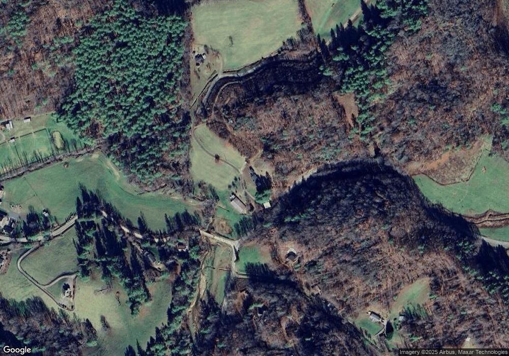
Map
Nearby Homes
- 71 Banks Creek Rd
- TBD Banks Creek Rd
- 000 Mountain Air Dr
- 300 Dogwood Ln
- 124 W Dogwood Cir
- 00 Prices Creek Rd
- 222 Creekside Way Unit D-101
- 222 Creekside Way Unit D-102
- 00 Riverside Hills Rd Unit 9
- 456 Spring House Dr
- 47 Creekside Way Unit H/102
- 47 Creekside Way Unit H/301
- LOT 13 Austin Mountain Dr Unit 13/3
- Lot 53 Mountain Air Dr Unit 53/1
- 81 River Look Dr
- 117 River Look Dr
- Special Parcel 1 Mountain Air Dr
- 324 Austin Mountain Dr
- 296 Austin Mountain Dr
- 137 Red Maple Ln
- 1745 Phipps Creek Rd
- 000 Phipps Creek Rd
- 45 Bitterroot Dr
- 1628 Phipps Creek Rd
- 212 Daddy Bobs Dr
- 1178 Banks Creek Rd
- 235 Daddy Bobs Dr
- 109 Dahlia Ln
- 0 Daddy Bobs Dr Unit 3246176
- 1014 Banks Creek Rd
- 105 Dahlia Ln
- 1537 Banks Creek Rd
- 261 Dahlia Ln
- 340 Tranquility Dr
- 1064 Banks Creek Rd
- 1571 Banks Creek Rd
- 1571 Banks Creek Rd
- 952 Banks Creek Rd
- 115 Tranquility Dr
- 220 Castle Ln