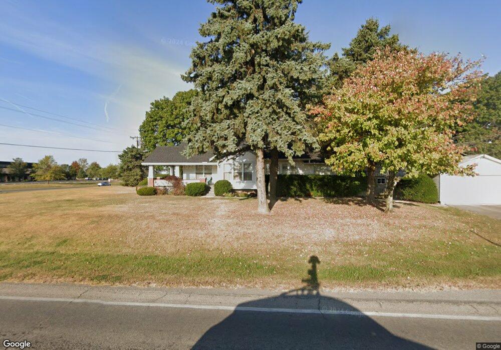
1784 State Route 47 W Bellefontaine, OH 43311
Estimated Value: $180,000 - $243,000
2
Beds
1
Bath
1,280
Sq Ft
$159/Sq Ft
Est. Value
About This Home
This home is located at 1784 State Route 47 W, Bellefontaine, OH 43311 and is currently estimated at $203,639, approximately $159 per square foot. 1784 State Route 47 W is a home located in Logan County with nearby schools including Bellefontaine Elementary School, Bellefontaine Intermediate School, and Bellefontaine Middle School.
Ownership History
Date
Name
Owned For
Owner Type
Purchase Details
Closed on
Sep 15, 2025
Sold by
Overholser Keith A
Bought by
Davis David and Davis Jeanette
Current Estimated Value
Home Financials for this Owner
Home Financials are based on the most recent Mortgage that was taken out on this home.
Original Mortgage
$140,000
Outstanding Balance
$140,000
Interest Rate
6.72%
Mortgage Type
New Conventional
Estimated Equity
$63,639
Purchase Details
Closed on
Jul 26, 2012
Sold by
Jackson Linda K and Mclaughlin Linda K
Bought by
Overholser Keith A
Create a Home Valuation Report for This Property
The Home Valuation Report is an in-depth analysis detailing your home's value as well as a comparison with similar homes in the area
Home Values in the Area
Average Home Value in this Area
Purchase History
| Date | Buyer | Sale Price | Title Company |
|---|---|---|---|
| Davis David | $175,000 | Mad River Title | |
| Overholser Keith A | -- | -- |
Source: Public Records
Mortgage History
| Date | Status | Borrower | Loan Amount |
|---|---|---|---|
| Open | Davis David | $140,000 |
Source: Public Records
Tax History Compared to Growth
Tax History
| Year | Tax Paid | Tax Assessment Tax Assessment Total Assessment is a certain percentage of the fair market value that is determined by local assessors to be the total taxable value of land and additions on the property. | Land | Improvement |
|---|---|---|---|---|
| 2024 | $1,775 | $45,980 | $7,780 | $38,200 |
| 2023 | $1,775 | $45,980 | $7,780 | $38,200 |
| 2022 | $1,903 | $35,140 | $5,850 | $29,290 |
| 2021 | $1,536 | $35,140 | $5,850 | $29,290 |
| 2020 | $1,536 | $22,500 | $5,480 | $17,020 |
| 2019 | $1,571 | $22,500 | $5,480 | $17,020 |
| 2018 | $848 | $22,500 | $5,480 | $17,020 |
| 2016 | $835 | $21,440 | $5,220 | $16,220 |
| 2014 | $821 | $21,440 | $5,220 | $16,220 |
| 2013 | $820 | $21,440 | $5,220 | $16,220 |
| 2012 | $998 | $21,610 | $5,120 | $16,490 |
Source: Public Records
Map
Nearby Homes
- 630 County Road 32 S
- 1143 Co Road 130
- 112 S Troy St
- 118 S Troy St
- 1966 County Road 11
- 1106 County Highway 32 N
- 825 W Williams Ave
- 317 N West St
- 417 N West St
- 228 S Evansville St
- 514 W Sandusky Ave
- 301 Plumvalley St
- 1141 Township Road 216
- 524 N Elm St
- 201 W Auburn Ave
- 316 S Detroit St
- 401 N Detroit St
- 208 W Williams Ave
- 324 N Detroit St
- 432 N Detroit St
- 0 Twp Road 32
- 0 S Township Road 32
- 0 S Township Road 32
- 1470 W Sandusky Ave
- 1848 State Route 47 W
- 1882 State Route 47 W
- 169 County Road 32 S
- 0 State Route 47 W
- 195 County Road 32 N
- 1450 State Route 47 W
- 570 County Road 32 S
- 460 County Road 32 N
- 498 County Road 32 N
- 1454 State Route 47 W
- 528 County Road 32 N
- 722 County Road 32 S
- 604 County Road 32 N
- 1239 W Columbus Ave
- 688 County Road 32 N
- 1204 W Columbus Ave