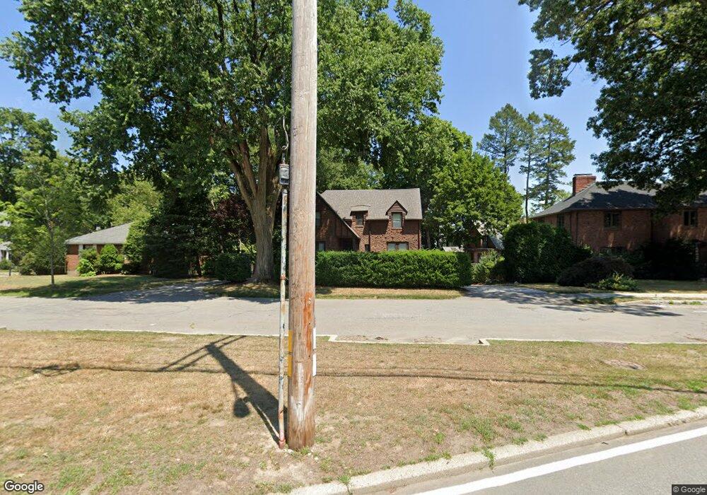
1785 Commonwealth Ave Auburndale, MA 02466
Auburndale NeighborhoodEstimated Value: $1,629,000 - $2,377,000
4
Beds
5
Baths
2,094
Sq Ft
$939/Sq Ft
Est. Value
About This Home
This home is located at 1785 Commonwealth Ave, Auburndale, MA 02466 and is currently estimated at $1,966,004, approximately $938 per square foot. 1785 Commonwealth Ave is a home located in Middlesex County with nearby schools including Williams Elementary School, Charles E Brown Middle School, and Newton South High School.
Ownership History
Date
Name
Owned For
Owner Type
Purchase Details
Closed on
Apr 29, 2011
Sold by
Boyd Eric S and Boyd Natalie K
Bought by
Lewis Daniel B
Current Estimated Value
Home Financials for this Owner
Home Financials are based on the most recent Mortgage that was taken out on this home.
Original Mortgage
$315,000
Interest Rate
4.76%
Mortgage Type
Purchase Money Mortgage
Purchase Details
Closed on
Aug 18, 2008
Sold by
Boyd Eric S and Boyd Natalie K
Bought by
Boyd Eric S and Boyd Natalie K
Purchase Details
Closed on
Jul 27, 2006
Sold by
Creatini Alejandra and Creatini Victor
Bought by
Boyd Eric S and Pelton Natalie K
Purchase Details
Closed on
Oct 19, 1995
Sold by
Poster Stanley M and Poster Ellen L
Bought by
Creatini Victor and Creatini Alejandra
Create a Home Valuation Report for This Property
The Home Valuation Report is an in-depth analysis detailing your home's value as well as a comparison with similar homes in the area
Home Values in the Area
Average Home Value in this Area
Purchase History
| Date | Buyer | Sale Price | Title Company |
|---|---|---|---|
| Lewis Daniel B | $950,000 | -- | |
| Boyd Eric S | -- | -- | |
| Boyd Eric S | $860,000 | -- | |
| Creatini Victor | $317,000 | -- |
Source: Public Records
Mortgage History
| Date | Status | Borrower | Loan Amount |
|---|---|---|---|
| Open | Creatini Victor | $315,000 | |
| Closed | Lewis Daniel B | $315,000 | |
| Previous Owner | Creatini Victor | $700,000 |
Source: Public Records
Tax History Compared to Growth
Tax History
| Year | Tax Paid | Tax Assessment Tax Assessment Total Assessment is a certain percentage of the fair market value that is determined by local assessors to be the total taxable value of land and additions on the property. | Land | Improvement |
|---|---|---|---|---|
| 2025 | $14,231 | $1,452,100 | $961,800 | $490,300 |
| 2024 | $13,760 | $1,409,800 | $933,800 | $476,000 |
| 2023 | $13,069 | $1,283,800 | $716,800 | $567,000 |
| 2022 | $12,552 | $1,193,200 | $663,700 | $529,500 |
| 2021 | $12,113 | $1,125,700 | $626,100 | $499,600 |
| 2020 | $11,752 | $1,125,700 | $626,100 | $499,600 |
| 2019 | $13,114 | $1,254,900 | $668,600 | $586,300 |
| 2018 | $12,101 | $1,118,400 | $607,100 | $511,300 |
| 2017 | $11,733 | $1,055,100 | $572,700 | $482,400 |
| 2016 | $11,222 | $986,100 | $535,200 | $450,900 |
| 2015 | $10,700 | $921,600 | $500,200 | $421,400 |
Source: Public Records
Map
Nearby Homes
- 1639 Washington St
- 283 Woodland Rd
- 1754 Washington St
- 17 Gilbert St
- 51 Bourne St
- 179 Auburn St
- 13 Weir St
- 194 Auburn St
- 163 Day St
- 0 Duncan Rd Unit 72925240
- 39 Hawthorne Ave
- 68 Mignon Rd
- 224 Auburn St Unit 224
- 226 Auburn St Unit 226
- 62-64 Rowe St Unit B
- 17 Crescent St
- 1488 Washington St Unit 1488
- 10 Crescent St Unit 2
- 17 Lasell St
- 10 Ruane Rd
- 1785 Commonwealth Ave
- 1781 Commonwealth Ave
- 53 Arapahoe Rd
- 62 Windermere Rd
- 47 Arapahoe Rd
- 43 Arapahoe Rd
- 60 Arapahoe Rd
- 54 Windermere Rd
- 54 Arapahoe Rd
- 43 Arapahoe Rd
- 67 Windermere Rd
- 1807 Commonwealth Ave
- 1790 Commonwealth Ave
- 48 Arapahoe Rd
- 57 Windermere Rd
- 1778 Commonwealth Ave
- 37 Arapahoe Rd
- 44 Arapahoe Rd
- 1774 Commonwealth Ave
- 1675 Washington St