1785 Osborn Dr Clarkston, WA 99403
Estimated Value: $413,000 - $1,136,000
--
Bed
--
Bath
2,474
Sq Ft
$311/Sq Ft
Est. Value
About This Home
This home is located at 1785 Osborn Dr, Clarkston, WA 99403 and is currently estimated at $768,673, approximately $310 per square foot. 1785 Osborn Dr is a home located in Asotin County with nearby schools including Asotin Elementary School and Asotin Junior/Senior High School.
Ownership History
Date
Name
Owned For
Owner Type
Purchase Details
Closed on
Aug 4, 2009
Sold by
Johnson Patricia A and Estate Of Homer E Johnson
Bought by
Clegg Matthew S and Clegg Ashlee
Current Estimated Value
Home Financials for this Owner
Home Financials are based on the most recent Mortgage that was taken out on this home.
Original Mortgage
$417,000
Outstanding Balance
$118,532
Interest Rate
5.17%
Mortgage Type
Purchase Money Mortgage
Estimated Equity
$650,141
Create a Home Valuation Report for This Property
The Home Valuation Report is an in-depth analysis detailing your home's value as well as a comparison with similar homes in the area
Home Values in the Area
Average Home Value in this Area
Purchase History
| Date | Buyer | Sale Price | Title Company |
|---|---|---|---|
| Clegg Matthew S | $550,000 | First American Title |
Source: Public Records
Mortgage History
| Date | Status | Borrower | Loan Amount |
|---|---|---|---|
| Open | Clegg Matthew S | $417,000 |
Source: Public Records
Tax History Compared to Growth
Tax History
| Year | Tax Paid | Tax Assessment Tax Assessment Total Assessment is a certain percentage of the fair market value that is determined by local assessors to be the total taxable value of land and additions on the property. | Land | Improvement |
|---|---|---|---|---|
| 2025 | $5,364 | $488,767 | $91,067 | $397,700 |
| 2023 | $5,364 | $488,767 | $91,067 | $397,700 |
| 2022 | $5,660 | $488,767 | $91,067 | $397,700 |
| 2021 | $5,410 | $488,767 | $91,067 | $397,700 |
| 2020 | $4,937 | $488,767 | $91,067 | $397,700 |
| 2019 | $4,709 | $440,700 | $95,000 | $345,700 |
| 2018 | $5,670 | $440,700 | $95,000 | $345,700 |
| 2017 | $5,080 | $440,700 | $95,000 | $345,700 |
| 2016 | $5,080 | $440,700 | $95,000 | $345,700 |
| 2015 | $505 | $427,800 | $95,000 | $332,800 |
| 2013 | $4,828 | $413,400 | $95,000 | $318,400 |
Source: Public Records
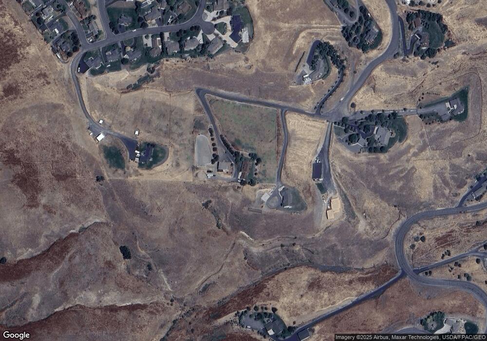
Map
Nearby Homes
- 3820 Pleasant View Dr
- 3305 Michael Dr
- 3307 Michael Dr
- 1501 Arkenstone Court Lot 1
- 3725 Nicklaus Dr
- 3315 Michael Dr
- 1771 River Canyon Dr
- 1785 River Canyon Dr
- 3775 Swallows Nest Ct
- 3733 and 3731 Swallows Nest Ct
- 1780 Cherry St
- 1705 Swallows Nest Loop
- 3560 Quailridge Dr
- 2275 Chukar Dr
- 2289 Chukar Dr
- 2285 Chukar Dr
- 2308 Chukar Ct
- 3020 Dove Drive (Lot 18 Dove Replat)
- 3650 Riverside Dr
- 2600
- 1740 Osborn Dr
- 2011 Rivercrest Dr
- 1730 Osborn Dr
- 1979 Rivercrest Dr
- 1983 Rivercrest Dr
- 1755 Osborn Dr
- 1975 Rivercrest Dr
- 1991 Rivercrest Dr
- 1987 Rivercrest Dr
- 1995 Rivercrest Dr
- 1600 Cherry St
- 1971 Rivercrest Dr
- 1999 Rivercrest Dr
- 1988 Rivercrest Dr
- 1992 Rivercrest Dr
- 1720 Osborn Dr
- 2003 Rivercrest Dr
- 1967 Rivercrest Dr
- 1996 Rivercrest Dr
- 1700 Osborn Dr