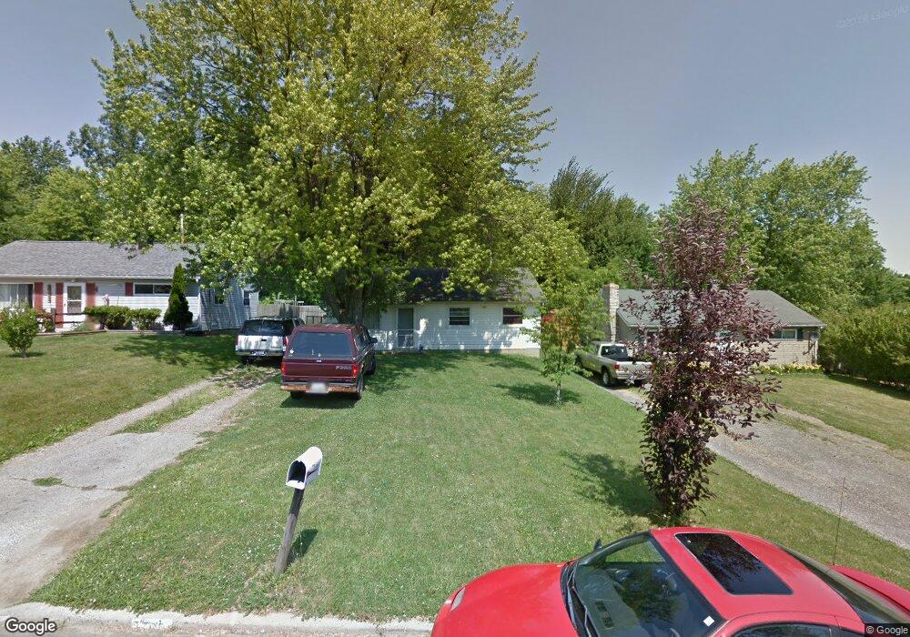
1785 Richard Dr Mansfield, OH 44905
Estimated Value: $112,000 - $148,000
3
Beds
1
Bath
1,110
Sq Ft
$119/Sq Ft
Est. Value
About This Home
This home is located at 1785 Richard Dr, Mansfield, OH 44905 and is currently estimated at $131,582, approximately $118 per square foot. 1785 Richard Dr is a home located in Richland County with nearby schools including Madison High School, St. Mary Catholic School, and Temple-Christian School.
Ownership History
Date
Name
Owned For
Owner Type
Purchase Details
Closed on
Sep 24, 2018
Sold by
Arnold Cynthia A and Arnold Cynthia
Bought by
Wild Frogs Ii Llc
Current Estimated Value
Purchase Details
Closed on
Aug 4, 2004
Sold by
Manufacturer & Traders Trust Co
Bought by
Arnold Cynthia
Purchase Details
Closed on
Feb 27, 2004
Sold by
Young Robin Lynn
Bought by
Manufacturers & Traders Trust Co
Create a Home Valuation Report for This Property
The Home Valuation Report is an in-depth analysis detailing your home's value as well as a comparison with similar homes in the area
Home Values in the Area
Average Home Value in this Area
Purchase History
| Date | Buyer | Sale Price | Title Company |
|---|---|---|---|
| Wild Frogs Ii Llc | -- | None Available | |
| Arnold Cynthia | $33,000 | Accutitle Agency Inc | |
| Manufacturers & Traders Trust Co | $32,000 | -- |
Source: Public Records
Tax History Compared to Growth
Tax History
| Year | Tax Paid | Tax Assessment Tax Assessment Total Assessment is a certain percentage of the fair market value that is determined by local assessors to be the total taxable value of land and additions on the property. | Land | Improvement |
|---|---|---|---|---|
| 2024 | $1,365 | $26,020 | $4,310 | $21,710 |
| 2023 | $1,365 | $26,020 | $4,310 | $21,710 |
| 2022 | $1,022 | $17,770 | $3,480 | $14,290 |
| 2021 | $1,022 | $17,770 | $3,480 | $14,290 |
| 2020 | $1,029 | $17,770 | $3,480 | $14,290 |
| 2019 | $938 | $15,070 | $2,940 | $12,130 |
| 2018 | $907 | $15,070 | $2,940 | $12,130 |
| 2017 | $891 | $15,070 | $2,940 | $12,130 |
| 2016 | $891 | $14,720 | $2,800 | $11,920 |
| 2015 | $891 | $14,720 | $2,800 | $11,920 |
| 2014 | $874 | $14,720 | $2,800 | $11,920 |
| 2012 | $421 | $15,490 | $2,940 | $12,550 |
Source: Public Records
Map
Nearby Homes
- 1806 Richard Dr
- 1910 Crider Rd
- 1951 Woodmont Rd
- 1997 Hout Rd
- 903 Mayflower Ave
- 1106 Keller Dr Unit 1108
- 2270 Lakecrest Dr Unit 2272
- 1151 Beal Rd
- 1292 Wolford Rd
- 1150 Delwood Dr
- 1158 Delwood Rd
- 640 Running Brook Way
- 683 Coachman Rd
- 671 Coachman Rd
- 2202 Lakewood Dr
- 632 Coachman Rd
- 1245 N Stewart Rd
- 1226 Evergreen Ave W
- 1282 Redman Ave
- 1585 Beal Rd
- 1781 Richard Dr
- 1789 Richard Dr
- 1777 Richard Dr
- 1793 Richard Dr
- 1767 Richard Dr
- 1797 Richard Dr
- 1794 Richard Dr
- 1786 Richard Dr
- 1800 Richard Dr
- 1769 Richard Dr
- 1801 Richard Dr
- 1805 Richard Dr
- 1803 Richard Ct
- 1774 Richard Dr
- 1247 Richard Ct
- 1809 Richard Dr
- 1784 Richard Ct
- 1766 Richard Dr
- 1796 Richard Ct
- 1813 Richard Dr