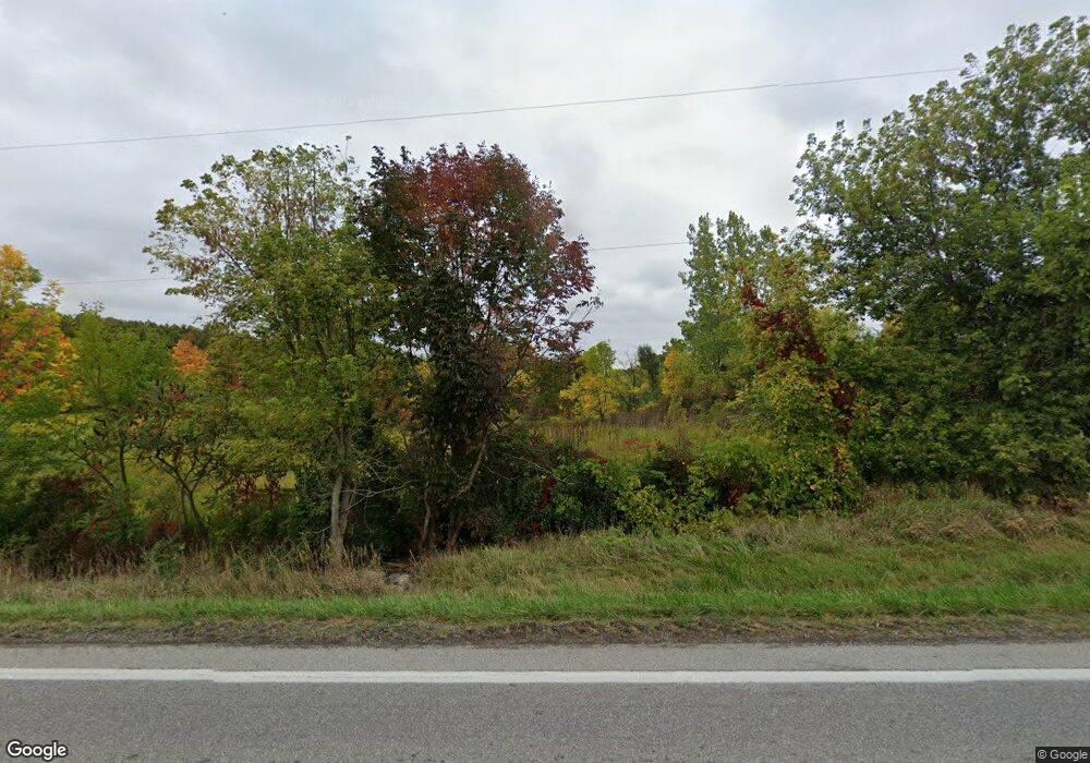
Estimated Value: $53,000 - $142,000
--
Bed
--
Bath
--
Sq Ft
0.57
Acres
About This Home
This home is located at 1785 Us Highway 20 Unit 5, Edon, OH 43518 and is currently estimated at $84,936. 1785 Us Highway 20 Unit 5 is a home located in Williams County with nearby schools including Edon Elementary School.
Ownership History
Date
Name
Owned For
Owner Type
Purchase Details
Closed on
Feb 24, 2021
Sold by
Phipps Rejina and Gonzales Juan
Bought by
Tlatenchi Javier and Tlatenchi Cecilia
Current Estimated Value
Home Financials for this Owner
Home Financials are based on the most recent Mortgage that was taken out on this home.
Original Mortgage
$85,500
Outstanding Balance
$76,645
Interest Rate
2.7%
Mortgage Type
New Conventional
Estimated Equity
$8,291
Purchase Details
Closed on
Aug 30, 1995
Sold by
Armstrong Cape C and Armstrong O
Bought by
Armstrong Dale L And
Purchase Details
Closed on
Jan 1, 1990
Bought by
Armstrong Cape C and Armstrong O
Create a Home Valuation Report for This Property
The Home Valuation Report is an in-depth analysis detailing your home's value as well as a comparison with similar homes in the area
Home Values in the Area
Average Home Value in this Area
Purchase History
| Date | Buyer | Sale Price | Title Company |
|---|---|---|---|
| Tlatenchi Javier | $95,000 | Merestone Title Agency | |
| Armstrong Dale L And | $42,000 | -- | |
| Armstrong Cape C | -- | -- |
Source: Public Records
Mortgage History
| Date | Status | Borrower | Loan Amount |
|---|---|---|---|
| Open | Tlatenchi Javier | $85,500 |
Source: Public Records
Tax History Compared to Growth
Tax History
| Year | Tax Paid | Tax Assessment Tax Assessment Total Assessment is a certain percentage of the fair market value that is determined by local assessors to be the total taxable value of land and additions on the property. | Land | Improvement |
|---|---|---|---|---|
| 2024 | $111 | $2,740 | $2,420 | $320 |
| 2023 | $111 | $2,800 | $2,730 | $70 |
| 2022 | $119 | $2,800 | $2,730 | $70 |
| 2021 | $129 | $2,800 | $2,730 | $70 |
| 2020 | $123 | $2,560 | $2,490 | $70 |
| 2019 | $123 | $2,560 | $2,490 | $70 |
| 2018 | $118 | $2,560 | $2,490 | $70 |
| 2017 | $123 | $2,600 | $2,490 | $110 |
| 2016 | $112 | $2,600 | $2,490 | $110 |
| 2015 | $118 | $2,600 | $2,490 | $110 |
| 2014 | $118 | $2,600 | $2,490 | $110 |
| 2013 | $111 | $2,600 | $2,490 | $110 |
Source: Public Records
Map
Nearby Homes
- 1447 Us Highway 20
- 1827 Us Highway 20
- 00 County Road 150
- 7950 E Metz Rd
- 755 N Old State Road 1
- E Metz Road Lot Unit WP001
- Metz. Rd. E 0
- 17930 County Road 1 50
- 16702 Ohio 49
- 7335 E 100 N
- 15297 County Road 5
- 18405 County Road 2-50
- 5647 US Highway 20
- 2040 N 700 E
- 208 N Michigan St
- 7950 E 400 N
- 405 W Indiana St
- 409 E Indiana St
- 5-50 County Rd S
- 15791 Rice Rd
- 1231 Us Highway 20
- 01531 Us Highway 20
- 1326 Us Highway 20
- 1331 Us Highway 20
- 1331 Us Hwy 20
- 0 Us Hwy 20 Unit 5014465
- 0 Us Hwy 20 Unit 5022476
- 0 Us Hwy 20 Unit 6040068
- 1159 Us Highway 20
- 1447 Us Highway 20
- 1442 Us Highway 20
- 1937 Us Highway 20
- 14873 County Road 1 50
- 14857 County Road 1 50
- 1 Rd Rd
- 14999 County Road 150
- 14999 County Road 1 50
- 14878 County Road 1 50
- 0 Us Highway 20
- 14981 County Road 1 50
