Estimated Value: $363,000 - $440,492
2
Beds
1
Bath
850
Sq Ft
$490/Sq Ft
Est. Value
About This Home
This home is located at 1785 Weaver Rd, Niles, MI 49120 and is currently estimated at $416,873, approximately $490 per square foot. 1785 Weaver Rd is a home located in Berrien County with nearby schools including Ballard Elementary School, Oak Manor Sixth Grade Center, and Ring Lardner Middle School.
Ownership History
Date
Name
Owned For
Owner Type
Purchase Details
Closed on
May 3, 2005
Sold by
Corum Paul and Corum Mary Etta
Bought by
Corum Paul W and Corum Mary Etta
Current Estimated Value
Home Financials for this Owner
Home Financials are based on the most recent Mortgage that was taken out on this home.
Original Mortgage
$145,000
Outstanding Balance
$65,952
Interest Rate
6.07%
Mortgage Type
New Conventional
Estimated Equity
$350,921
Purchase Details
Closed on
Mar 17, 2000
Purchase Details
Closed on
Mar 1, 2000
Create a Home Valuation Report for This Property
The Home Valuation Report is an in-depth analysis detailing your home's value as well as a comparison with similar homes in the area
Home Values in the Area
Average Home Value in this Area
Purchase History
| Date | Buyer | Sale Price | Title Company |
|---|---|---|---|
| Corum Paul W | -- | -- | |
| -- | $75,500 | -- | |
| -- | $58,500 | -- |
Source: Public Records
Mortgage History
| Date | Status | Borrower | Loan Amount |
|---|---|---|---|
| Open | Corum Paul W | $145,000 |
Source: Public Records
Tax History Compared to Growth
Tax History
| Year | Tax Paid | Tax Assessment Tax Assessment Total Assessment is a certain percentage of the fair market value that is determined by local assessors to be the total taxable value of land and additions on the property. | Land | Improvement |
|---|---|---|---|---|
| 2025 | $2,815 | $195,100 | $0 | $0 |
| 2024 | $1,552 | $174,300 | $0 | $0 |
| 2023 | $1,478 | $152,000 | $0 | $0 |
| 2022 | $1,407 | $130,200 | $0 | $0 |
| 2021 | $2,466 | $124,700 | $26,200 | $98,500 |
| 2020 | $2,434 | $127,500 | $0 | $0 |
| 2019 | $2,390 | $98,800 | $19,100 | $79,700 |
| 2018 | $2,323 | $98,800 | $0 | $0 |
| 2017 | $2,310 | $100,100 | $0 | $0 |
| 2016 | $2,243 | $106,800 | $0 | $0 |
| 2015 | $2,236 | $103,800 | $0 | $0 |
| 2014 | $1,024 | $102,600 | $0 | $0 |
Source: Public Records
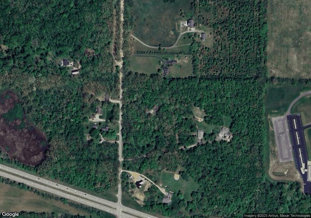
Map
Nearby Homes
- 1695 Signal Point Dr
- 1639 Sioux Trail
- 1010 Tomahawk Ln
- V/L Wesaw Rd
- 144 Poppy Ct
- 139 Poppy Ct
- 143 Sweet William Ln
- 133 Hummingbird Ln
- 1675 Mallard Dr
- 1630 S 3rd St
- 219 Arlington Ln
- 218 Arlington Ln
- 134 Turfway Park
- 2160 Portage Rd
- 2019 S 3rd St
- Integrity 1610 Plan at Longmeadow
- Elements 2700 Plan at Longmeadow
- 209 N Philip Rd
- 413 S Street Joseph Ave
- 2120 S 3rd St
- 1635 Weaver Rd
- 1685 Ellison Dr
- 1680 Weaver Rd
- 1710 Weaver Rd
- 1700 Weaver Rd
- 1715 Weaver Rd
- 1685 Weaver Rd
- 1765 Weaver Rd
- 1605 Weaver Rd
- 0 Weaver & Us 12 Unit 7099546
- 1650 Weaver Rd
- 1555 Weaver Rd
- 1507 Weaver Rd
- 1500 Weaver Rd
- 1620 W River Rd
- 1530 W River Rd
- 1590 W River Rd
- 1639 W River Rd
- 1540 W River Rd
- 1870 W River Rd