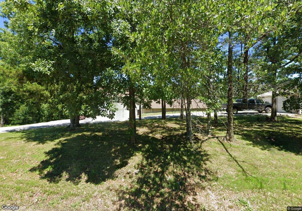
17853 State Highway Aa Potosi, MO 63664
Estimated Value: $185,000 - $580,033
3
Beds
1
Bath
1,280
Sq Ft
$264/Sq Ft
Est. Value
About This Home
This home is located at 17853 State Highway Aa, Potosi, MO 63664 and is currently estimated at $337,678, approximately $263 per square foot. 17853 State Highway Aa is a home located in Washington County with nearby schools including Potosi Elementary School, Trojan Intermediate School, and John A. Evans Middle School.
Ownership History
Date
Name
Owned For
Owner Type
Purchase Details
Closed on
May 30, 2008
Sold by
Fierce Timothy D and Fierce Alice R
Bought by
Fierce Timothy D and Firece Alice R
Current Estimated Value
Home Financials for this Owner
Home Financials are based on the most recent Mortgage that was taken out on this home.
Original Mortgage
$51,800
Outstanding Balance
$33,274
Interest Rate
6.07%
Estimated Equity
$304,404
Create a Home Valuation Report for This Property
The Home Valuation Report is an in-depth analysis detailing your home's value as well as a comparison with similar homes in the area
Home Values in the Area
Average Home Value in this Area
Purchase History
| Date | Buyer | Sale Price | Title Company |
|---|---|---|---|
| Fierce Timothy D | -- | -- |
Source: Public Records
Mortgage History
| Date | Status | Borrower | Loan Amount |
|---|---|---|---|
| Open | Fierce Timothy D | $51,800 |
Source: Public Records
Tax History Compared to Growth
Tax History
| Year | Tax Paid | Tax Assessment Tax Assessment Total Assessment is a certain percentage of the fair market value that is determined by local assessors to be the total taxable value of land and additions on the property. | Land | Improvement |
|---|---|---|---|---|
| 2024 | $1,893 | $39,420 | $3,110 | $36,310 |
| 2023 | $1,359 | $28,470 | $1,880 | $26,590 |
| 2022 | $1,359 | $39,470 | $3,110 | $36,360 |
| 2021 | $1,368 | $28,470 | $1,880 | $26,590 |
| 2020 | $37 | $28,470 | $1,880 | $26,590 |
| 2019 | $1,370 | $28,470 | $1,880 | $26,590 |
| 2018 | $1,375 | $28,490 | $0 | $0 |
| 2017 | $1,369 | $28,490 | $1,900 | $26,590 |
| 2016 | $938 | $19,650 | $1,900 | $17,750 |
| 2014 | -- | $19,630 | $0 | $0 |
| 2013 | -- | $19,630 | $0 | $0 |
| 2012 | -- | $19,630 | $0 | $0 |
Source: Public Records
Map
Nearby Homes
- 0 Havenwood Rd
- 0 Havenwood Rd
- 11467 Havenwood Rd
- 14881 State Highway Aa
- 10288 Jackal Rd
- 10680 Crestwood Rd
- 15689 State Highway F
- 0 State Highway F Unit MIS25059357
- 0 Archery Rd
- 10010 Finch Rd
- 18374 Missouri 185
- 0 Singer Trail 3 84+ -Ac
- 10179 Cherry Hill Ln
- 0 Singer Trail 3 71+ -Ac
- 10165 Riehl Farm Dr
- 403 Virginia Ave
- 705 Bonnie St
- 401 Clara Ave
- 303 Cordia Ave
- 507 Coleman Ave
- 0 St Hwy Aa Unit 9532473
- 17828 State Highway Aa
- 10023 Saber Rd
- 10014 Kistler Rd
- 10111 Basil Rd
- 10155 Havenwood Rd
- 0 Hyland Rd
- 10255 Kistler Rd
- 17476 State Highway Aa
- 030.3 Ac State Highway Aa
- 0 State Highway Aa
- 17221 State Highway Aa
- 17220 State Highway Aa
- 17220 State Highway Aa
- 11228 Pleasant Hill Rd
- 18586 State Highway Aa
- 11434 Pleasant Hill Rd
- 11315 Pleasant Hill Rd
- 10805 Pleasant Hill Rd
- 16952 Hwy Aa (State)
