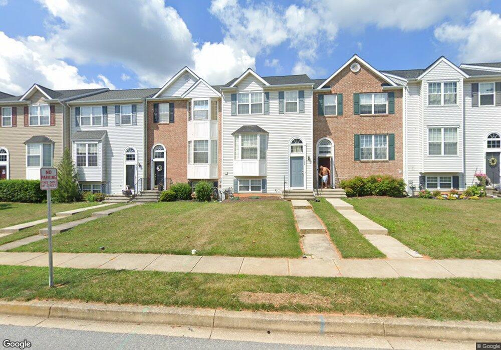
1786 Upper Forde Ln Hampstead, MD 21074
Estimated Value: $311,000 - $341,000
Studio
3
Baths
1,256
Sq Ft
$259/Sq Ft
Est. Value
About This Home
This home is located at 1786 Upper Forde Ln, Hampstead, MD 21074 and is currently estimated at $324,718, approximately $258 per square foot. 1786 Upper Forde Ln is a home located in Carroll County with nearby schools including Spring Garden Elementary School, Shiloh Middle School, and Manchester Valley High School.
Ownership History
Date
Name
Owned For
Owner Type
Purchase Details
Closed on
Oct 10, 2003
Sold by
Engle Homes Inc
Bought by
Haralamos Peter H
Current Estimated Value
Create a Home Valuation Report for This Property
The Home Valuation Report is an in-depth analysis detailing your home's value as well as a comparison with similar homes in the area
Home Values in the Area
Average Home Value in this Area
Purchase History
| Date | Buyer | Sale Price | Title Company |
|---|---|---|---|
| Haralamos Peter H | $170,700 | -- |
Source: Public Records
Tax History
| Year | Tax Paid | Tax Assessment Tax Assessment Total Assessment is a certain percentage of the fair market value that is determined by local assessors to be the total taxable value of land and additions on the property. | Land | Improvement |
|---|---|---|---|---|
| 2025 | $3,212 | $244,900 | $80,000 | $164,900 |
| 2024 | $3,053 | $231,233 | $0 | $0 |
| 2023 | $2,937 | $217,567 | $0 | $0 |
| 2022 | $2,304 | $203,900 | $79,000 | $124,900 |
| 2021 | $5,439 | $198,733 | $0 | $0 |
| 2020 | $2,631 | $193,567 | $0 | $0 |
| 2019 | $2,562 | $188,400 | $79,000 | $109,400 |
| 2018 | $2,495 | $184,833 | $0 | $0 |
| 2017 | $2,447 | $181,267 | $0 | $0 |
| 2016 | -- | $177,700 | $0 | $0 |
| 2015 | -- | $177,700 | $0 | $0 |
| 2014 | -- | $177,700 | $0 | $0 |
Source: Public Records
Map
Nearby Homes
- 4250 Flail Dr
- 1421 N Main St
- 1809 Hanover Pike
- 4112 Creswell Terrace
- 0 Hanover Pike Unit MDCR2024542
- 1909 Hanover Pike
- 4210 Upper Beckleysville Rd
- 1711 Kempfield Dr
- 3815 Sunnyfield Ct Unit 2C
- 3815 Sunnyfield Ct Unit 3D
- 4138 Hillcrest Ave
- 2461 Fairmount Rd
- 1151 Caton Rd
- 1148 Gypsum Dr
- 0 Dave Rill Rd
- 3820 Normandy Dr Unit 2A
- 3840 Normandy Dr Unit 2A
- 3850 Normandy Dr Unit 2B
- 3870 Normandy Dr Unit 1D
- 3992 Terrace Dr
- 1788 Upper Forde Ln
- 1784 Upper Forde Ln
- 1782 Upper Forde Ln
- 1790 Upper Forde Ln
- 1780 Upper Forde Ln
- 1792 Upper Forde Ln
- 1778 Upper Forde Ln
- 1776 Upper Forde Ln
- 1796 Upper Forde Ln
- 1774 Upper Forde Ln
- 4211 Mead Dr
- 1798 Upper Forde Ln
- 1772 Upper Forde Ln
- 4200 Wagon Wheel Dr
- 4210 Mead Dr
- 1800 Upper Forde Ln
- 1770 Upper Forde Ln
- 1802 Upper Forde Ln
- 1768 Upper Forde Ln
- 4201 Wagon Wheel Dr
Your Personal Tour Guide
Ask me questions while you tour the home.