17866 E Anthem Ridge Rd Owasso, OK 74055
Stone Canyon NeighborhoodEstimated Value: $1,842,961 - $2,146,000
4
Beds
4
Baths
11,306
Sq Ft
$176/Sq Ft
Est. Value
About This Home
This home is located at 17866 E Anthem Ridge Rd, Owasso, OK 74055 and is currently estimated at $1,994,481, approximately $176 per square foot. 17866 E Anthem Ridge Rd is a home with nearby schools including Stone Canyon Elementary School, Owasso 6th Grade Center, and Owasso 8th Grade Center.
Ownership History
Date
Name
Owned For
Owner Type
Purchase Details
Closed on
Nov 15, 2017
Sold by
Brown William E and Brown Angela L
Bought by
Brown William E and Brown Angela L
Current Estimated Value
Purchase Details
Closed on
Sep 16, 2015
Sold by
Cabo Development Company Llc
Bought by
Brown William E and Angela L Brown Living Trust
Create a Home Valuation Report for This Property
The Home Valuation Report is an in-depth analysis detailing your home's value as well as a comparison with similar homes in the area
Home Values in the Area
Average Home Value in this Area
Purchase History
| Date | Buyer | Sale Price | Title Company |
|---|---|---|---|
| Brown William E | -- | None Available | |
| Brown William E | $310,000 | Investors Title & Escrow Com |
Source: Public Records
Tax History
| Year | Tax Paid | Tax Assessment Tax Assessment Total Assessment is a certain percentage of the fair market value that is determined by local assessors to be the total taxable value of land and additions on the property. | Land | Improvement |
|---|---|---|---|---|
| 2025 | $25,171 | $257,956 | $34,586 | $223,370 |
| 2024 | $24,060 | $250,443 | $34,187 | $216,256 |
| 2023 | $22,351 | $238,518 | $34,099 | $204,419 |
| 2022 | $23,074 | $235,517 | $34,100 | $201,417 |
| 2021 | $24,313 | $251,322 | $34,100 | $217,222 |
| 2020 | $23,889 | $247,293 | $34,100 | $213,193 |
| 2019 | $22,934 | $237,244 | $34,100 | $203,144 |
| 2018 | $22,231 | $238,842 | $34,100 | $204,742 |
| 2017 | $3,207 | $34,100 | $34,100 | $0 |
| 2016 | $3,211 | $34,100 | $34,100 | $0 |
| 2015 | $5 | $55 | $55 | $0 |
| 2014 | $5 | $55 | $55 | $0 |
Source: Public Records
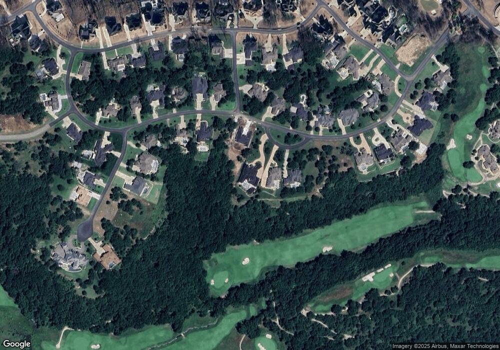
Map
Nearby Homes
- 18127 Anthem Ridge Rd
- 18203 Anthem Ridge Rd
- 5879 N Eagle Summit Rd
- 17743 E Red Hawk Rd
- 17702 E Falcon Pass
- 17686 E Falcon Pass
- 17889 E Falcon Pass
- 5865 N Eagle Rd
- 5883 N Eagle Rd
- 5827 N Eagle Rd
- 6322 N Wildwood Ln
- 17300 E Sunset Ridge
- 6407 N Blue Sage Dr
- 4585 Oklahoma 266
- 17623 E White Tail Cove
- 17802 E Patriot Dr
- 17822 E Patriot Dr
- 17862 E Patriot Dr
- 18761 E Red Fox Trail
- 5927 N Meadows Ridge Rd
- 17900 E Anthem Ridge Rd
- 18036 Anthem Ridge Rd
- 0 Anthem Ridge Rd
- 6971 Anthem Ridge Rd
- 17593 Anthem Ridge Rd
- 17934 E Anthem Ridge Rd
- 17764 Anthem Ridge Rd
- 6011 N Gray Hawk Rd
- 17881 E Anthem Ridge Rd
- 18002 Anthem Ridge Rd
- 17937 Anthem Ridge Rd
- 6011 N Grey Hawk Rd
- 17937 E Anthem Ridge Rd
- 17730 E Anthem Ridge Rd
- 17789 Anthem Ridge Rd
- 18025 E Anthem Ridge Rd
- 17751 Anthem Ridge Rd
- 5969 N Eagle Summit Rd
- 5987 N Eagle Summit Rd
- 17713 E Anthem Ridge Rd
Your Personal Tour Guide
Ask me questions while you tour the home.