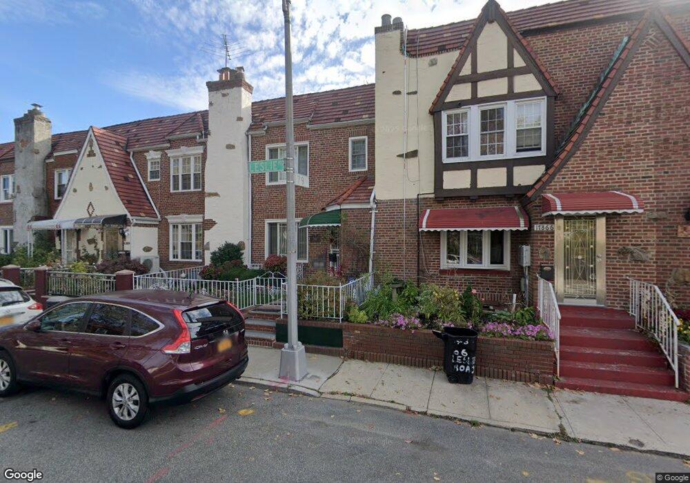
17868 Leslie Rd Jamaica, NY 11434
Saint Albans NeighborhoodEstimated Value: $598,109 - $702,000
--
Bed
--
Bath
1,440
Sq Ft
$456/Sq Ft
Est. Value
About This Home
This home is located at 17868 Leslie Rd, Jamaica, NY 11434 and is currently estimated at $656,277, approximately $455 per square foot. 17868 Leslie Rd is a home located in Queens County with nearby schools including The Jermaine L. Green STEM Institute of Queens, Catherine & Count Basie Middle School 72, and Riverton Street Charter School.
Ownership History
Date
Name
Owned For
Owner Type
Purchase Details
Closed on
Nov 24, 1998
Sold by
Hunt Violet L
Bought by
Hill Barbara
Current Estimated Value
Home Financials for this Owner
Home Financials are based on the most recent Mortgage that was taken out on this home.
Original Mortgage
$144,400
Interest Rate
6.78%
Create a Home Valuation Report for This Property
The Home Valuation Report is an in-depth analysis detailing your home's value as well as a comparison with similar homes in the area
Home Values in the Area
Average Home Value in this Area
Purchase History
| Date | Buyer | Sale Price | Title Company |
|---|---|---|---|
| Hill Barbara | $152,000 | Chicago Title Insurance Co |
Source: Public Records
Mortgage History
| Date | Status | Borrower | Loan Amount |
|---|---|---|---|
| Previous Owner | Hill Barbara | $144,400 |
Source: Public Records
Tax History Compared to Growth
Tax History
| Year | Tax Paid | Tax Assessment Tax Assessment Total Assessment is a certain percentage of the fair market value that is determined by local assessors to be the total taxable value of land and additions on the property. | Land | Improvement |
|---|---|---|---|---|
| 2025 | $4,613 | $25,826 | $6,670 | $19,156 |
| 2024 | $4,625 | $24,365 | $7,365 | $17,000 |
| 2023 | $4,336 | $22,986 | $7,085 | $15,901 |
| 2022 | $4,042 | $32,640 | $10,320 | $22,320 |
| 2021 | $4,268 | $31,200 | $10,320 | $20,880 |
| 2020 | $4,260 | $28,260 | $10,320 | $17,940 |
| 2019 | $3,955 | $26,760 | $10,320 | $16,440 |
| 2018 | $3,607 | $19,155 | $7,920 | $11,235 |
| 2017 | $3,384 | $18,072 | $8,539 | $9,533 |
| 2016 | $3,303 | $18,072 | $8,539 | $9,533 |
| 2015 | $1,836 | $17,935 | $9,844 | $8,091 |
| 2014 | $1,836 | $16,920 | $10,459 | $6,461 |
Source: Public Records
Map
Nearby Homes
- 179-01 120th Ave
- 11984 178th Place
- 17955 Anderson Rd
- 178-10 Leslie Rd
- 179-50 Anderson Rd
- 119-72 178th St
- 119-48 178th St
- 17918 Selover Rd
- 179-47 Zoller Rd
- 11819 179th St
- 17715 Troutville Rd
- 17710 Troutville Rd
- 176-27 Sunbury Rd
- 17720 Leslie Rd
- 18822 119th Ave
- 17915 Eveleth Rd
- 17911 Eveleth Rd
- 178-20 Selover Rd
- 188-51 120th Rd
- 12811 Harry Douglass Way
- 17866 Leslie Rd
- 178-66 Leslie Rd
- 17902 Leslie Rd
- 17904 Leslie Rd
- 17864 Leslie Rd
- 179-02 Leslie Rd
- 17906 Leslie Rd
- 17906 Leslie Rd
- 17862 Leslie Rd
- 17862 Leslie Rd
- 179-06 Leslie Rd
- 17908 Leslie Rd
- 17860 Leslie Rd
- 17860 Leslie Rd
- 17910 Leslie Rd
- 17858 Leslie Rd
- 17977 Selover Rd
- 17975 Selover Rd
- 17979 Selover Rd
- 17981 Selover Rd