1787 Highway 441 N Clayton, GA 30525
Estimated Value: $119,777 - $271,000
1
Bed
2
Baths
864
Sq Ft
$221/Sq Ft
Est. Value
About This Home
This home is located at 1787 Highway 441 N, Clayton, GA 30525 and is currently estimated at $190,694, approximately $220 per square foot. 1787 Highway 441 N is a home located in Rabun County with nearby schools including Rabun County Primary School, Rabun County High School, and Great Oaks Montessori .
Ownership History
Date
Name
Owned For
Owner Type
Purchase Details
Closed on
Sep 1, 1999
Bought by
Wall Earnest R
Current Estimated Value
Purchase Details
Closed on
Oct 1, 1985
Purchase Details
Closed on
Aug 1, 1982
Purchase Details
Closed on
Oct 1, 1980
Purchase Details
Closed on
Jan 1, 1967
Create a Home Valuation Report for This Property
The Home Valuation Report is an in-depth analysis detailing your home's value as well as a comparison with similar homes in the area
Home Values in the Area
Average Home Value in this Area
Purchase History
| Date | Buyer | Sale Price | Title Company |
|---|---|---|---|
| Wall Earnest R | -- | -- | |
| Wall Earnest R | -- | -- | |
| -- | $1,000 | -- | |
| -- | $1,000 | -- | |
| -- | $1,000 | -- | |
| -- | -- | -- | |
| -- | -- | -- | |
| -- | $10,000 | -- | |
| -- | $10,000 | -- | |
| -- | $10,000 | -- | |
| -- | $10,000 | -- |
Source: Public Records
Tax History Compared to Growth
Tax History
| Year | Tax Paid | Tax Assessment Tax Assessment Total Assessment is a certain percentage of the fair market value that is determined by local assessors to be the total taxable value of land and additions on the property. | Land | Improvement |
|---|---|---|---|---|
| 2025 | $99 | $19,687 | $11,232 | $8,455 |
| 2024 | $116 | $20,761 | $11,232 | $9,529 |
| 2023 | $112 | $19,628 | $10,608 | $9,020 |
| 2022 | $89 | $18,414 | $9,984 | $8,430 |
| 2021 | $94 | $18,382 | $9,984 | $8,398 |
| 2020 | $97 | $18,353 | $9,984 | $8,369 |
| 2019 | $98 | $18,353 | $9,984 | $8,369 |
| 2018 | $98 | $18,353 | $9,984 | $8,369 |
| 2017 | $98 | $18,353 | $9,984 | $8,369 |
| 2016 | $98 | $18,353 | $9,984 | $8,369 |
| 2015 | $1 | $10,104 | $9,984 | $120 |
| 2014 | $106 | $5,480 | $5,280 | $200 |
Source: Public Records
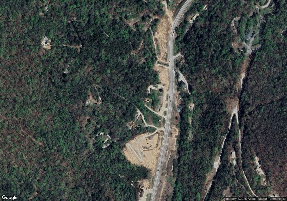
Map
Nearby Homes
- 0 Forest Canopy Way Unit 11
- 1 Electric Ave
- 331 Black Bear Den Rd
- 0 Green St Unit 10565711
- 11 Electric Ave
- 55 Wallace St
- 527 Abby Ln
- 620 Falling Creek Trail
- 36 Maple Springs Ln
- 1327 Pinnacle Dr
- 1387 Valley St
- 37 Erwin St
- 1806 Pinnacle Dr
- 34 Living Waters Way Unit 2F
- 700 Prime Hill Dr
- 548 Black Rock Mountain Pkwy
- 2 Raven Ridge Rd
- 0 Raven Ridge Rd
- 18 Living Waters Way
- 22 Living Waters Way Unit 2C
- 72 Jiles Dr
- 22 Jiles
- 494 Dave Wall Dr
- 1870 Highway 441 N
- 40 Jiles Dr
- 1738 Highway 441
- 1738 Hwy 441 N
- 12 File St
- 172 Jiles Dr
- 22 Jiles Dr
- 518 Leafwood Ln
- 515 Leafwood Ln Unit B
- 515 Leafwood Ln
- 86 Humphrey Ln
- 1569 Highway 441 N
- 236 File St
- 99 George Eller Cir
- 87 & 99 George Eller Curve
- 34 Humphrey Ln
- 515 Leaf Wood Ln Unit B