17872 State Route 328 Union Furnace, OH 43158
Estimated Value: $265,000 - $734,983
4
Beds
2
Baths
4,659
Sq Ft
$107/Sq Ft
Est. Value
About This Home
This home is located at 17872 State Route 328, Union Furnace, OH 43158 and is currently estimated at $499,992, approximately $107 per square foot. 17872 State Route 328 is a home with nearby schools including Union Furnace Elementary School.
Ownership History
Date
Name
Owned For
Owner Type
Purchase Details
Closed on
Oct 14, 2009
Sold by
Stevens Philip L and Stevens Nora Rosemary
Bought by
Stevens Adam M and Stevens Lisa J
Current Estimated Value
Create a Home Valuation Report for This Property
The Home Valuation Report is an in-depth analysis detailing your home's value as well as a comparison with similar homes in the area
Home Values in the Area
Average Home Value in this Area
Purchase History
| Date | Buyer | Sale Price | Title Company |
|---|---|---|---|
| Stevens Adam M | -- | None Available |
Source: Public Records
Tax History Compared to Growth
Tax History
| Year | Tax Paid | Tax Assessment Tax Assessment Total Assessment is a certain percentage of the fair market value that is determined by local assessors to be the total taxable value of land and additions on the property. | Land | Improvement |
|---|---|---|---|---|
| 2024 | $6,583 | $174,160 | $13,900 | $160,260 |
| 2023 | $6,583 | $174,160 | $13,900 | $160,260 |
| 2022 | $6,593 | $174,160 | $13,900 | $160,260 |
| 2021 | $3,793 | $93,770 | $11,580 | $82,190 |
| 2020 | $3,796 | $93,770 | $11,580 | $82,190 |
| 2019 | $3,797 | $93,770 | $11,580 | $82,190 |
| 2018 | $3,621 | $91,310 | $9,120 | $82,190 |
| 2017 | $3,553 | $91,310 | $9,120 | $82,190 |
| 2016 | $3,528 | $91,310 | $9,120 | $82,190 |
| 2015 | $2,351 | $58,640 | $10,370 | $48,270 |
| 2014 | $2,351 | $58,640 | $10,370 | $48,270 |
| 2013 | $2,350 | $58,640 | $10,370 | $48,270 |
Source: Public Records
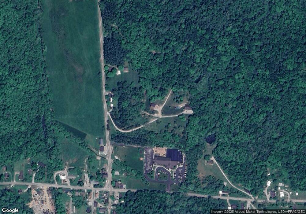
Map
Nearby Homes
- 35640 Vickers Rd
- 35619 Vickers Rd
- 18004 Buckingham Rd
- 19248 State Route 328
- 36710 Greasy Ridge Rd
- 18358 Buckingham Rd
- 0 Cox Rd
- 16980 Haydenville Rd
- 16532 Haydenville Rd
- 17687 Laurel Run Rd
- 19366 Laurel Run Rd
- 38846 Karnes Rd
- 16716 Skinner Rd
- 33461 Barker Rd
- 14572 Hock Hocking Rd
- 19718 Feathers Rd
- Lot 6 Sanner Rd
- 20088 Rauber Rd
- 36724 Smith Chapel Rd
- 14972 Cohagen Rd
- 17850 State Route 328
- 17840 State Route 328
- 17800 State Route 328
- 17974 State Route 328
- 36312 Lime Bank Rd
- 17973 Main St
- 35982 Water St
- 36001 Water St
- 35954 Water St
- 35975 Water St
- 35961 Water St
- 36314 Lime Bank Rd
- 18023 Main St
- 35947 Water St
- 36331 Lime Bank Rd
- 18077 Main St
- 36351 Lime Bank Rd
- 36362 Lime Bank Rd
- 0 Moore Rd
- 35880 Moore Rd