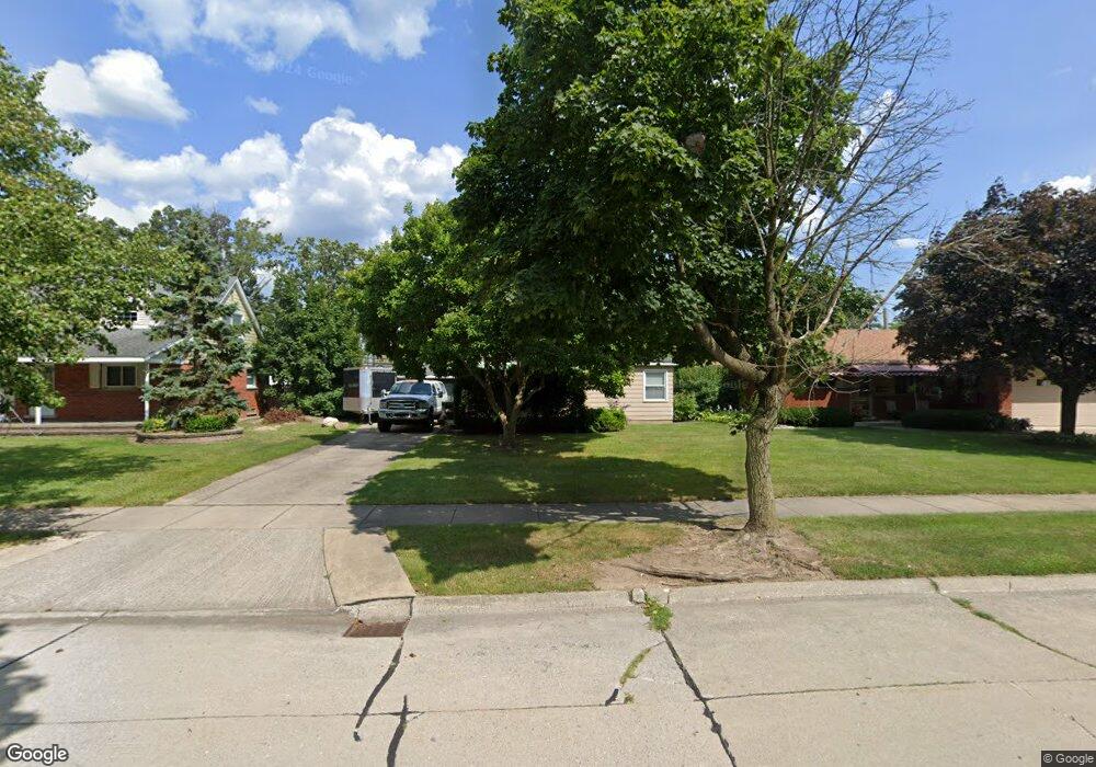
17877 Poplar St Riverview, MI 48193
Estimated Value: $138,000 - $209,000
Studio
--
Bath
720
Sq Ft
$235/Sq Ft
Est. Value
About This Home
This home is located at 17877 Poplar St, Riverview, MI 48193 and is currently estimated at $169,470, approximately $235 per square foot. 17877 Poplar St is a home located in Wayne County with nearby schools including Riverview Community High School, St. Cyprian Elementary School, and Gabriel Richard Catholic High School.
Ownership History
Date
Name
Owned For
Owner Type
Purchase Details
Closed on
Jun 6, 2006
Sold by
Davis Andrew B and Davis Lisa
Bought by
Davis Andrew B
Current Estimated Value
Purchase Details
Closed on
Mar 28, 1995
Sold by
Shoup Viola A
Bought by
Aaron J Blanzy
Home Financials for this Owner
Home Financials are based on the most recent Mortgage that was taken out on this home.
Original Mortgage
$58,950
Interest Rate
10.13%
Mortgage Type
New Conventional
Create a Home Valuation Report for This Property
The Home Valuation Report is an in-depth analysis detailing your home's value as well as a comparison with similar homes in the area
Home Values in the Area
Average Home Value in this Area
Purchase History
| Date | Buyer | Sale Price | Title Company |
|---|---|---|---|
| Davis Andrew B | -- | None Available | |
| Aaron J Blanzy | $65,500 | -- |
Source: Public Records
Mortgage History
| Date | Status | Borrower | Loan Amount |
|---|---|---|---|
| Closed | Aaron J Blanzy | $58,950 |
Source: Public Records
Tax History
| Year | Tax Paid | Tax Assessment Tax Assessment Total Assessment is a certain percentage of the fair market value that is determined by local assessors to be the total taxable value of land and additions on the property. | Land | Improvement |
|---|---|---|---|---|
| 2025 | $1,948 | $79,200 | $0 | $0 |
| 2024 | $2,011 | $72,900 | $0 | $0 |
| 2023 | $1,839 | $64,200 | $0 | $0 |
| 2022 | $2,690 | $58,800 | $0 | $0 |
| 2021 | $2,550 | $55,000 | $0 | $0 |
| 2020 | $2,515 | $54,100 | $0 | $0 |
| 2019 | $2,461 | $52,300 | $0 | $0 |
| 2018 | $1,464 | $40,700 | $0 | $0 |
| 2017 | $1,561 | $39,600 | $0 | $0 |
| 2016 | $2,203 | $37,700 | $0 | $0 |
| 2015 | $3,293 | $37,700 | $0 | $0 |
| 2013 | $3,190 | $32,800 | $0 | $0 |
| 2012 | $2,212 | $33,900 | $18,000 | $15,900 |
Source: Public Records
Map
Nearby Homes
- 17486 Poplar St
- 14749 Williamsburg Dr
- 14851 Williamsburg Dr
- 14801 Pennsylvania Rd
- 18082 Ray St
- 18031 Hamann St
- 18055 Hinton St
- 18641 Hilltop Ln
- 18689 Hilltop Blvd
- 17591 Matthews St
- 15774 Golfview Drive Blvd
- 0000 Fort St
- 15742 Kennebec St
- 16047 Mccann St
- 13842 Heritage St
- VACANT Sibley Rd
- 15464 Mulberry St
- 15470 Windemere St
- 16959 Anderson Dr
- 15426 Poplar St
- 17865 Poplar St
- 17905 Poplar St
- 17841 Poplar St
- 14508 Williamsburg St
- 14526 Williamsburg St
- 14526 Williamsburg Dr
- 17828 Devonshire St
- 17844 Devonshire St
- 17812 Devonshire St
- 17860 Devonshire St
- 17876 Poplar St
- 17916 Poplar St
- 17866 Poplar St
- 17760 Devonshire St
- 17829 Poplar St
- 0 Poplar St
- 17846 Poplar St
- 17744 Devonshire St
- 17932 Poplar St
- 17836 Poplar St
Your Personal Tour Guide
Ask me questions while you tour the home.