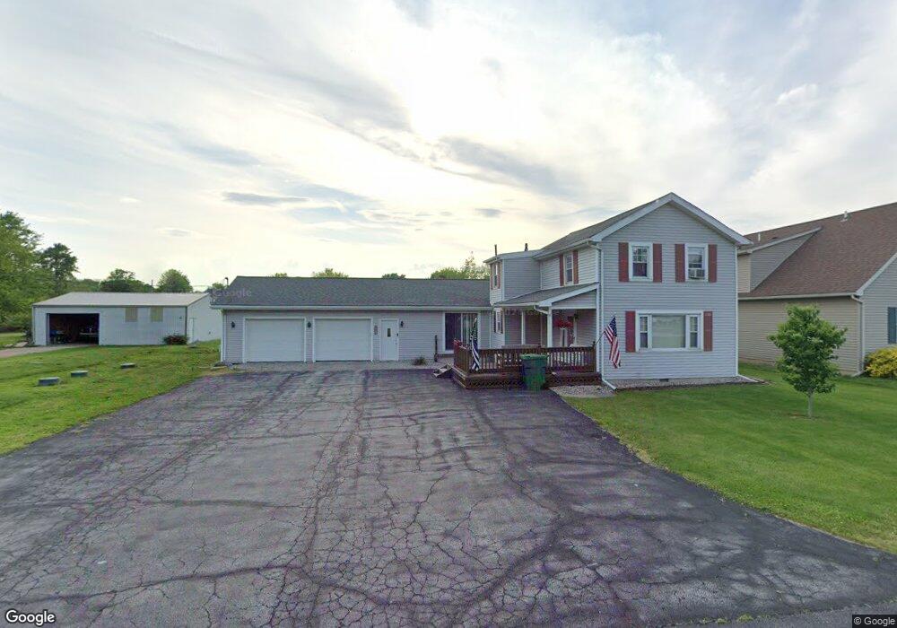
1788 N Chestnut St Graytown, OH 43432
Estimated Value: $103,000 - $184,000
2
Beds
1
Bath
1,795
Sq Ft
$86/Sq Ft
Est. Value
About This Home
This home is located at 1788 N Chestnut St, Graytown, OH 43432 and is currently estimated at $153,980, approximately $85 per square foot. 1788 N Chestnut St is a home located in Ottawa County with nearby schools including Oak Harbor High School.
Ownership History
Date
Name
Owned For
Owner Type
Purchase Details
Closed on
Jul 7, 2020
Sold by
Martikan Bryan T and Martikan Michaelena A
Bought by
Martikan Bryan T and Martikan Michaleena A
Current Estimated Value
Home Financials for this Owner
Home Financials are based on the most recent Mortgage that was taken out on this home.
Original Mortgage
$85,000
Outstanding Balance
$60,054
Interest Rate
3.1%
Mortgage Type
Future Advance Clause Open End Mortgage
Estimated Equity
$93,926
Purchase Details
Closed on
Dec 12, 2008
Sold by
Helle David F and Helle Virginia L
Bought by
Martikan Bryan T and Martikan Michaelena A
Home Financials for this Owner
Home Financials are based on the most recent Mortgage that was taken out on this home.
Original Mortgage
$81,918
Interest Rate
6.49%
Mortgage Type
FHA
Purchase Details
Closed on
Jun 15, 2005
Sold by
Helle David F and Helle Virginia L
Bought by
Helle David F and Helle Virginia L
Create a Home Valuation Report for This Property
The Home Valuation Report is an in-depth analysis detailing your home's value as well as a comparison with similar homes in the area
Purchase History
| Date | Buyer | Sale Price | Title Company |
|---|---|---|---|
| Martikan Bryan T | -- | None Available | |
| Martikan Bryan T | $83,000 | Attorney | |
| Helle David F | -- | -- |
Source: Public Records
Mortgage History
| Date | Status | Borrower | Loan Amount |
|---|---|---|---|
| Open | Martikan Bryan T | $85,000 | |
| Closed | Martikan Bryan T | $81,918 |
Source: Public Records
Tax History
| Year | Tax Paid | Tax Assessment Tax Assessment Total Assessment is a certain percentage of the fair market value that is determined by local assessors to be the total taxable value of land and additions on the property. | Land | Improvement |
|---|---|---|---|---|
| 2024 | $1,436 | $41,276 | $5,870 | $35,406 |
| 2023 | $1,544 | $35,351 | $3,441 | $31,910 |
| 2022 | $1,492 | $35,351 | $3,441 | $31,910 |
| 2021 | $1,502 | $35,350 | $3,440 | $31,910 |
| 2020 | $1,455 | $33,130 | $3,220 | $29,910 |
| 2019 | $1,414 | $33,130 | $3,220 | $29,910 |
| 2018 | $1,295 | $33,130 | $3,220 | $29,910 |
| 2017 | $1,057 | $29,520 | $2,570 | $26,950 |
| 2016 | $1,059 | $29,520 | $2,570 | $26,950 |
| 2015 | $1,034 | $29,520 | $2,570 | $26,950 |
| 2014 | $543 | $29,520 | $2,570 | $26,950 |
| 2013 | $1,060 | $29,520 | $2,570 | $26,950 |
Source: Public Records
Map
Nearby Homes
- 0 N Walker St
- 1611 N Walker St
- 15345 W Kolb Rd
- 14694 W True Rd
- 14878 W State Route 163
- 1861 N Opfer-Lentz Rd
- 14245 W State Route 163
- 0 W Portage River Rd S Unit 6130453
- 420 E 4th St
- 21682 State Route 51 W
- 207 E 11th St
- 1217 Main St
- 1216 Main St
- 159 Smith St
- 904 Main St
- 1309 Superior St
- 205 Main St
- 915 Buckeye St
- 205 W 4th St
- 330 5th St
Your Personal Tour Guide
Ask me questions while you tour the home.