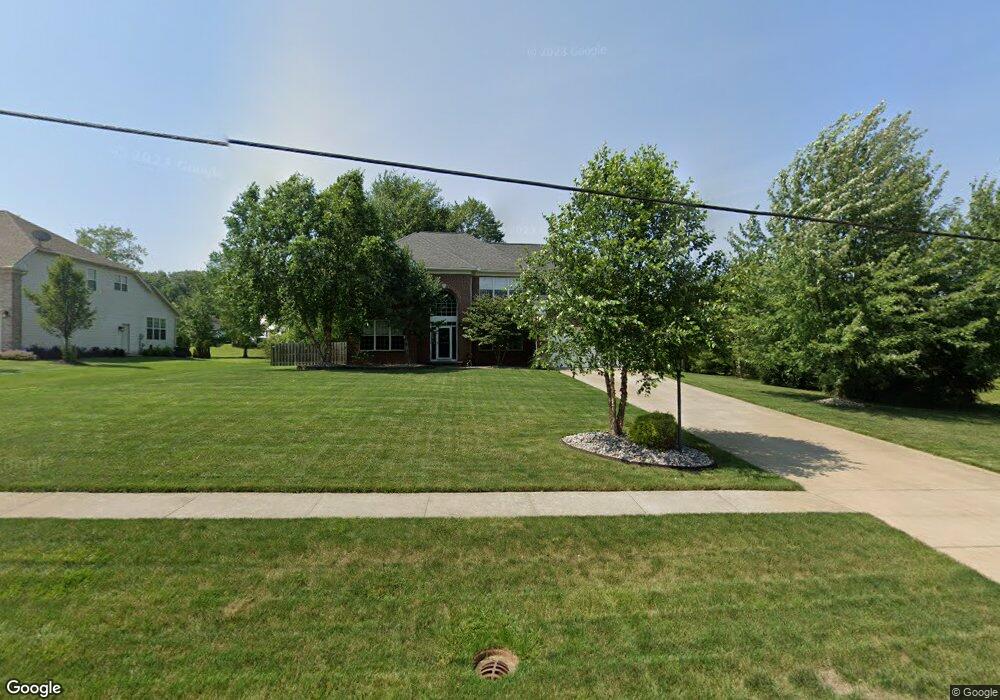
17896 Hunt Rd Strongsville, OH 44136
Estimated Value: $513,545 - $638,000
4
Beds
3
Baths
3,566
Sq Ft
$166/Sq Ft
Est. Value
About This Home
This home is located at 17896 Hunt Rd, Strongsville, OH 44136 and is currently estimated at $590,636, approximately $165 per square foot. 17896 Hunt Rd is a home located in Cuyahoga County with nearby schools including Strongsville High School.
Ownership History
Date
Name
Owned For
Owner Type
Purchase Details
Closed on
May 10, 2004
Sold by
Kimball Hill Homes Ohio Inc
Bought by
Fashempour James T and Fashempour Alexandra L
Current Estimated Value
Home Financials for this Owner
Home Financials are based on the most recent Mortgage that was taken out on this home.
Original Mortgage
$307,059
Outstanding Balance
$136,335
Interest Rate
4.75%
Mortgage Type
Purchase Money Mortgage
Estimated Equity
$454,301
Create a Home Valuation Report for This Property
The Home Valuation Report is an in-depth analysis detailing your home's value as well as a comparison with similar homes in the area
Home Values in the Area
Average Home Value in this Area
Purchase History
| Date | Buyer | Sale Price | Title Company |
|---|---|---|---|
| Fashempour James T | $323,221 | Real Estate Title Services C |
Source: Public Records
Mortgage History
| Date | Status | Borrower | Loan Amount |
|---|---|---|---|
| Open | Fashempour James T | $307,059 |
Source: Public Records
Tax History Compared to Growth
Tax History
| Year | Tax Paid | Tax Assessment Tax Assessment Total Assessment is a certain percentage of the fair market value that is determined by local assessors to be the total taxable value of land and additions on the property. | Land | Improvement |
|---|---|---|---|---|
| 2024 | $7,465 | $155,295 | $39,375 | $115,920 |
| 2023 | $8,300 | $129,750 | $35,600 | $94,150 |
| 2022 | $8,241 | $129,750 | $35,600 | $94,150 |
| 2021 | $8,183 | $129,750 | $35,600 | $94,150 |
| 2020 | $8,725 | $122,400 | $33,570 | $88,830 |
| 2019 | $8,475 | $349,700 | $95,900 | $253,800 |
| 2018 | $7,787 | $122,400 | $33,570 | $88,830 |
| 2017 | $7,050 | $102,480 | $24,990 | $77,490 |
| 2016 | $6,995 | $102,480 | $24,990 | $77,490 |
| 2015 | $7,095 | $102,480 | $24,990 | $77,490 |
| 2014 | $7,095 | $102,480 | $24,990 | $77,490 |
Source: Public Records
Map
Nearby Homes
- 14558 Drake Rd
- 14132 Walking Stick Way
- 18229 Howe Rd
- 18987 Laurell Cir
- 17130 Golden Star Dr
- 14985 Camden Cir
- 14292 Trenton Ave
- 13448 Compass Point Dr
- 19694 Benbow Rd
- 19252 Hidden Woods Ln
- 15188 Trails Landing
- 19740 Benbow Rd
- 19813 Cross Trail S
- 13335 Tradewinds Dr
- 16650 Lanier Ave
- 15604-REAR Boston Rd
- 19297 Hunt Rd
- 15772 Boston Rd
- 16711 Beech Cir
- 17159 Turkey Meadow Ln
- 17932 Hunt Rd
- 17951 Stony Point Dr
- 17966 Hunt Rd
- 17877 Hunt Rd
- 17997 Stony Point Dr
- 18006 Stony Point Dr
- 18004 Hunt Rd
- 17827 Hunt Rd
- 17971 Hunt Rd
- 18043 Stony Point Dr
- 17787 Hunt Rd
- 18002 Benbow Rd
- 18015 Hunt Rd
- 18052 Stony Point Dr
- 18098 Stony Point Dr
- 14122 Panorama Pkwy
- 18144 Stony Point Dr
- 18061 Hunt Rd
- 18052 Benbow Rd
- 17735 Hunt Rd