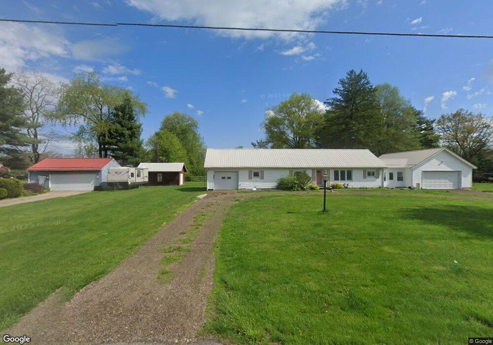
17896 State Route 93 Coshocton, OH 43812
Estimated Value: $185,248 - $206,000
3
Beds
2
Baths
1,484
Sq Ft
$132/Sq Ft
Est. Value
About This Home
This home is located at 17896 State Route 93, Coshocton, OH 43812 and is currently estimated at $196,312, approximately $132 per square foot. 17896 State Route 93 is a home located in Coshocton County with nearby schools including Ridgewood Elementary School, Ridgewood Middle School, and Ridgewood High School.
Ownership History
Date
Name
Owned For
Owner Type
Purchase Details
Closed on
Jun 5, 2009
Sold by
Legge Mary Lee
Bought by
Craddock Ii Gene W
Current Estimated Value
Home Financials for this Owner
Home Financials are based on the most recent Mortgage that was taken out on this home.
Original Mortgage
$81,090
Interest Rate
5.43%
Mortgage Type
New Conventional
Purchase Details
Closed on
Nov 9, 1992
Sold by
Legge Mary Lee
Bought by
Legge Mary Lee
Purchase Details
Closed on
Mar 1, 1987
Create a Home Valuation Report for This Property
The Home Valuation Report is an in-depth analysis detailing your home's value as well as a comparison with similar homes in the area
Home Values in the Area
Average Home Value in this Area
Purchase History
| Date | Buyer | Sale Price | Title Company |
|---|---|---|---|
| Craddock Ii Gene W | $79,500 | None Available | |
| Legge Mary Lee | -- | -- | |
| -- | $35,000 | -- |
Source: Public Records
Mortgage History
| Date | Status | Borrower | Loan Amount |
|---|---|---|---|
| Previous Owner | Craddock Ii Gene W | $81,090 |
Source: Public Records
Tax History Compared to Growth
Tax History
| Year | Tax Paid | Tax Assessment Tax Assessment Total Assessment is a certain percentage of the fair market value that is determined by local assessors to be the total taxable value of land and additions on the property. | Land | Improvement |
|---|---|---|---|---|
| 2024 | $1,324 | $35,590 | $13,040 | $22,550 |
| 2023 | $1,324 | $27,577 | $8,722 | $18,855 |
| 2022 | $1,021 | $27,577 | $8,722 | $18,855 |
| 2021 | $1,032 | $27,577 | $8,722 | $18,855 |
| 2020 | $1,103 | $29,855 | $8,491 | $21,364 |
| 2019 | $1,130 | $29,855 | $8,491 | $21,364 |
| 2018 | $1,050 | $29,855 | $8,491 | $21,364 |
| 2017 | $1,013 | $26,373 | $7,928 | $18,445 |
| 2016 | $894 | $26,373 | $7,928 | $18,445 |
| 2015 | $463 | $26,373 | $7,928 | $18,445 |
| 2014 | $872 | $24,847 | $7,609 | $17,238 |
Source: Public Records
Map
Nearby Homes
- 203 Main St
- 17418 Tr 118
- 0 Township Road 154 Unit 5125760
- 16842 Township Road 118
- 16286 Ohio 93
- 16386 Township Road 118
- 57937 Township Road 261
- 0 State Route 751
- 22112 High St
- 205 E 7th St
- 21467 Ohio 751
- 0 Prider Rd
- 0 Ohio 751
- 21083 State Route 751
- 57995 County Road 9
- 320 E Union Ave
- 204 W Union St
- Reference# 10 Tr 258
- 0 Cr 143
- 58590 Wolfe St
- 17894 State Route 93
- 17906 State Route 93
- 1660 Ohio 93
- 302 W Main St
- 300 State Rd 93
- 17889 State Route 93
- 17899 State Route 93
- 17940 State Route 93
- 305 E State Route 93 St
- 17935 State Route 93
- 17953 State Route 93
- 17959 State Route 93
- 202 State Route 93
- 203 E State Route 93 St
- 101 Wills Creek Ave
- 202 Maple Ave
- 200 Maple St
- 100 Main St
- 201 Wills Creek Ave
- 18161 State Route 93