1789B Main Rd Westport, MA 02790
Westport Point NeighborhoodEstimated Value: $1,516,000 - $2,876,000
4
Beds
--
Bath
3,266
Sq Ft
$716/Sq Ft
Est. Value
About This Home
This home is located at 1789B Main Rd, Westport, MA 02790 and is currently estimated at $2,337,582, approximately $715 per square foot. 1789B Main Rd is a home with nearby schools including Alice A. Macomber Primary School, Westport Elementary School, and Westport Middle-High School.
Ownership History
Date
Name
Owned For
Owner Type
Purchase Details
Closed on
Jan 20, 2004
Sold by
Artemisia Rt and White Benjamin V
Bought by
Kohlenberg Andrew W and Minard Mary Rebecca
Current Estimated Value
Create a Home Valuation Report for This Property
The Home Valuation Report is an in-depth analysis detailing your home's value as well as a comparison with similar homes in the area
Home Values in the Area
Average Home Value in this Area
Purchase History
| Date | Buyer | Sale Price | Title Company |
|---|---|---|---|
| Kohlenberg Andrew W | $1,075,000 | -- | |
| Kohlenberg Andrew W | $1,075,000 | -- |
Source: Public Records
Mortgage History
| Date | Status | Borrower | Loan Amount |
|---|---|---|---|
| Open | Kohlenberg Andrew W | $568,710 |
Source: Public Records
Tax History Compared to Growth
Tax History
| Year | Tax Paid | Tax Assessment Tax Assessment Total Assessment is a certain percentage of the fair market value that is determined by local assessors to be the total taxable value of land and additions on the property. | Land | Improvement |
|---|---|---|---|---|
| 2025 | $17,385 | $2,333,600 | $1,493,400 | $840,200 |
| 2024 | $16,482 | $2,132,200 | $1,340,900 | $791,300 |
| 2023 | $16,600 | $2,034,300 | $1,289,300 | $745,000 |
| 2022 | $15,920 | $1,877,400 | $1,169,000 | $708,400 |
| 2021 | $14,700 | $1,705,300 | $1,036,200 | $669,100 |
| 2020 | $13,932 | $1,652,700 | $1,003,700 | $649,000 |
| 2019 | $13,548 | $1,638,200 | $1,003,700 | $634,500 |
| 2018 | $12,625 | $1,545,300 | $867,000 | $678,300 |
| 2017 | $12,372 | $1,552,300 | $867,000 | $685,300 |
| 2016 | $11,593 | $1,465,600 | $842,900 | $622,700 |
| 2015 | $12,324 | $1,554,100 | $963,300 | $590,800 |
Source: Public Records
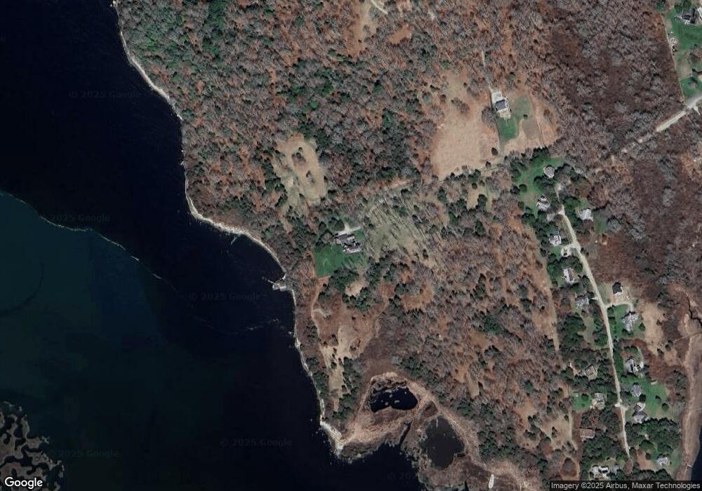
Map
Nearby Homes
- 1881 Main Rd
- 1580 Main Rd
- 1702J Drift Rd
- 1702 Drift Rd
- 0 Reed Rd (Ss)
- 19 Seabury Ln
- 1346 Main Rd Unit B
- 189 Brayton Point Rd
- 304 Brayton Point Rd
- 255 John Dyer Rd
- 99 Sylvia Ln
- 245 John Dyer Rd
- 17 Quail Trail
- 238-242 E Beach Rd
- 225 Hixbridge Rd
- 920 Drift Rd
- 101 Adamsville Rd
- 505 Long Hwy
- Lot 2 Horseneck Rd
- 116 Amy Hart Path
- 9 Lawrence Ave
- 9 Lawrence Ave Unit WEEKLY
- 57 Cape Bial Ln
- 15 Lawrence Ave
- 23 Lawrence Ave
- 22 Lawrence Ave
- 10 Lawrence Ave
- 39 Lawrence Ave
- 43 Lawrence Ave Unit Weekly
- 43 Lawrence Ave Unit 1
- 43 Lawrence Ave
- 43 Lawrence Ave
- 43 Lawrence Ave Unit SUMMER WEEK
- 18 Lawrence Ave
- 49 Lawrence Ave
- 38 Lawrence Ave
- 44 Lawrence Ave
- 48 Lawrence Ave
- 48 Lawrence Ave
- 1789 Main Rd